1. Upper
Linked via: Proximity 98% confidence Synced 4mo ago
Gauge Conditions
Runnable: ? – ? CFS
Approximate reading: This gauge is 16.1 miles away on Linville River. Use as a general reference only.
Data from American Whitewater & USGS
Run Map
Description
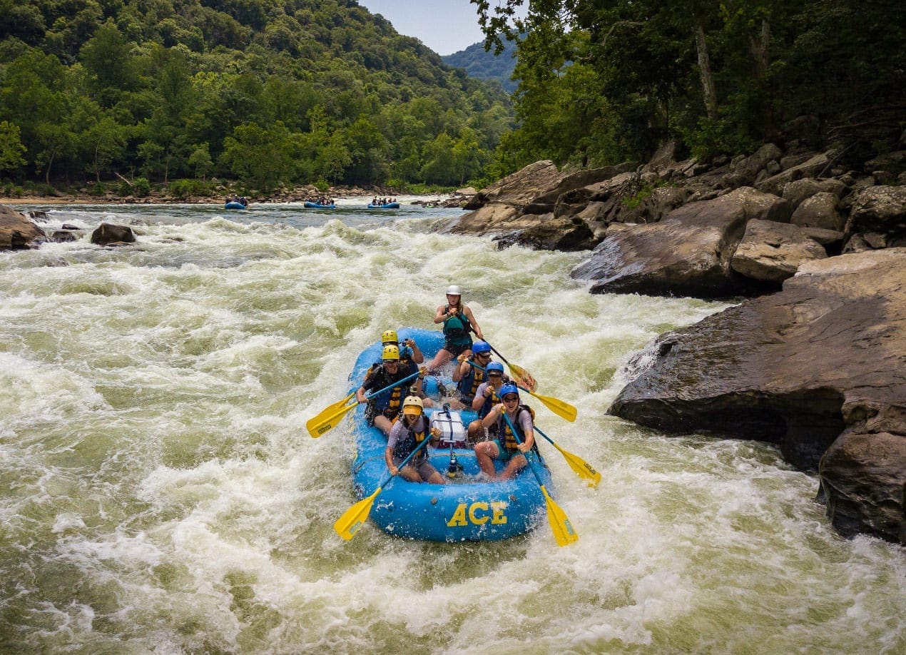
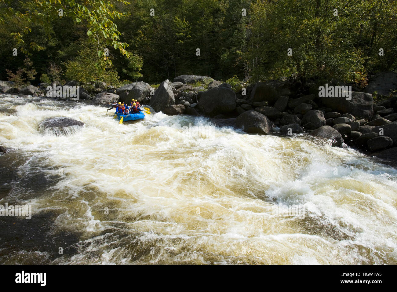
This is a not well-known section of the Linville that is way up in the headwaters. The put-in is at the Hwy 221 bridge in Pineola, NC. The takeout is a small gravel parking area located at the entrance of the NC Forest Service Mountain Training Facility, which is also right off of Hwy 221. The shuttle is super short (roughly 5 minutes one way). The first mile starts off flat and then the river completely changes character and becomes Class III. After the first section of rapids, the river mellows out for a little while before dropping again. After the second set of rapids, you reach the long pool formed by Sloop Dam. Portage on river right. Below the dam, there are a few more rapids and a neat ledge right before the takeout.
Rapids in this Run (7)

Hazards & Portages (1)
Caution: The following locations may require scouting or portaging. Always check current conditions.
Difficulty
Class III
Length
4.6 mi
Rapids
7
1 Hazard
Access Points
Difficulty Classes
I Easy
II Novice
III Intermediate
IV Advanced
V Expert/Extreme
VI Unrunnable
Current Conditions
5-Day Forecast
Whitewater data from
American Whitewater
American Whitewater