1. Upper Payette Lake to Payette Lake
Linked via: Proximity 98% confidence Synced 6mo ago
Gauge Conditions
Runnable: ? – ? CFS
Approximate reading: This gauge is 13.7 miles away on Payette. Use as a general reference only.
Data from American Whitewater & USGS
Run Map
Run Time Estimate
Select put-in and take-out to estimate time.
Unlock Advanced Trip Planning
See wind-adjusted speed maps, forecast planning, and detailed time estimates.
Sign in to generate an AI timing estimate for this run.
Whitewater timing varies with scouting, portages, and group pace. Use as a planning baseline.
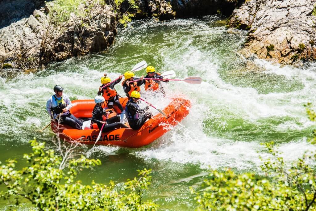
Description
This reach is really two separate runs. The upper section is class IV during spring snowmelt. The lower section is a class I float that is often paddled upstream from the access at the northern end of Payette Lake.
_Upper (class IV, approximately 4 miles)_
The upper run is known for great class IV roadside whitewater that can be run in about an hour during spring runoff. If you run Pearl Creek Rapid at the start, scout carefully as this rapid can push class V with approximately a mile of pushy whitewater with holes and few eddies. A take-out is available at Fisher Creek.
_Lower (class I, approximately 5 miles)_
The North Fork Meanders can be run from Fisher Creek down to Payette Lake. Some paddle upstream from the lake to Eastside Road Bridge. This is a very scenic paddle that can be run through the summer.
Rapids in this Run (2)
Difficulty
Class I-IV
Length
11.6 mi
Rapids
2
Access Points
Difficulty Classes
I Easy
II Novice
III Intermediate
IV Advanced
V Expert/Extreme
VI Unrunnable
Current Conditions
5-Day Forecast
Whitewater data from
American Whitewater
American Whitewater