1) Upper
Linked via: Nhdplus created 95% confidence Synced 6mo ago
Gauge Conditions
Runnable: ? – ? CFS
Approximate reading: This gauge is 9.8 miles away on Piru Creek. Use as a general reference only.
Data from American Whitewater & USGS
CDEC Flow Data California
Data from California Data Exchange Center (CDEC)
Run Map
Run Time Estimate
Select put-in and take-out to estimate time.
Unlock Advanced Trip Planning
See wind-adjusted speed maps, forecast planning, and detailed time estimates.
Sign in to generate an AI timing estimate for this run.
Whitewater timing varies with scouting, portages, and group pace. Use as a planning baseline.
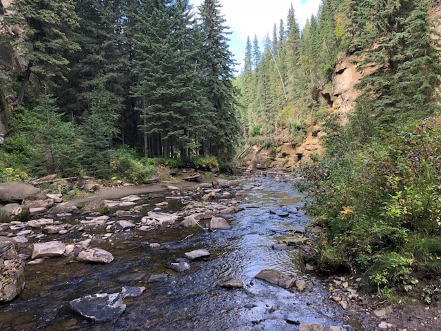
Description
This wilderness run is typically available for short periods after large winter rain storms.
Other Information Sources:
Somewhere Out There, by Charles Foster Descriptions by 1st descent party.
Video by DiscosVideos at youtube.
Video by Aquaaevum at Youtube.
Los Padres National Forest
Forest Service Road Map
MT. PINOS
RANGER DISTRICT
34580 Lockwood Valley
Frazier Park, CA 93225
VOICE: (661) 245-3731
CampOne.com manages the campground and recreation facilities at Pyramid Lake
Rapids in this Run (3)
Hazards & Portages (1)
Caution: The following locations may require scouting or portaging. Always check current conditions.
Difficulty
Class IV-V
Length
31.2 mi
Rapids
3
1 Hazard
Access Points
Difficulty Classes
I Easy
II Novice
III Intermediate
IV Advanced
V Expert/Extreme
VI Unrunnable
Current Conditions
5-Day Forecast
Whitewater data from
American Whitewater
American Whitewater