1. Upper Poultney
Linked via: Proximity 18% confidence Synced 6mo ago
Gauge Conditions
Runnable: 800.0 – 6,000.0 CFS
The upper limit is an educated guess, based on historical streamflows. If you have good beta on runnable levels, please add a comment.
Data from American Whitewater & USGS
Run Map
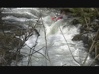
Description
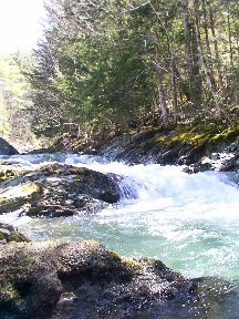
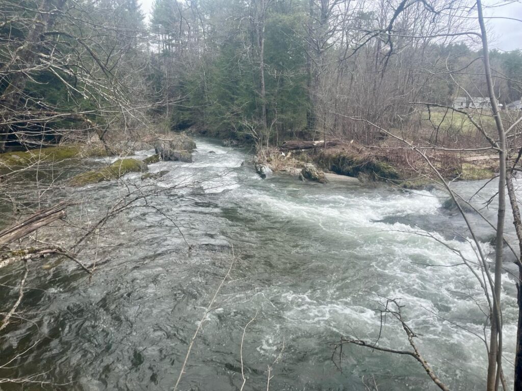
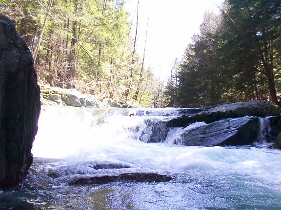
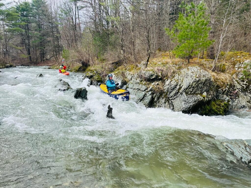
This is a fun Vermont creek. Good Intro to Creek boating run with lots of boofs. The put-it is at Morse Hollow Road. If you're in the town of Poultney, head east. When you see a big white church you are in East Poultney. Stay on Route 140 until the first pull-off. That should be Deep Rock (take out). If you keep heading up the road you will see different pull offs; feel free to take a look at the rapids (esp. Flat rock). Put in before the bridge at Morse Hollow Road. This run can take atleast 30 min. _Lat/longitude coords are approximate, from online maps._
Rapids in this Run (3)
Hazards & Portages (1)
Caution: The following locations may require scouting or portaging. Always check current conditions.
Difficulty
Class III+
Length
3.5 mi
Rapids
3
1 Portage
Access Points
Difficulty Classes
I Easy
II Novice
III Intermediate
IV Advanced
V Expert/Extreme
VI Unrunnable
Current Conditions
5-Day Forecast
Whitewater data from
American Whitewater
American Whitewater