1. Upper, Tuxedo Powerplant to trail above Hungry Creek
Linked via: Proximity 96% confidence Synced 6mo ago
Gauge Conditions
Runnable: ? – ? CFS
Approximate reading: This gauge is 5.4 miles away on Green. Use as a general reference only.
Data from American Whitewater & USGS
Run Map
Run Time Estimate
Select put-in and take-out to estimate time.
Unlock Advanced Trip Planning
See wind-adjusted speed maps, forecast planning, and detailed time estimates.
Sign in to generate an AI timing estimate for this run.
Whitewater timing varies with scouting, portages, and group pace. Use as a planning baseline.
Description
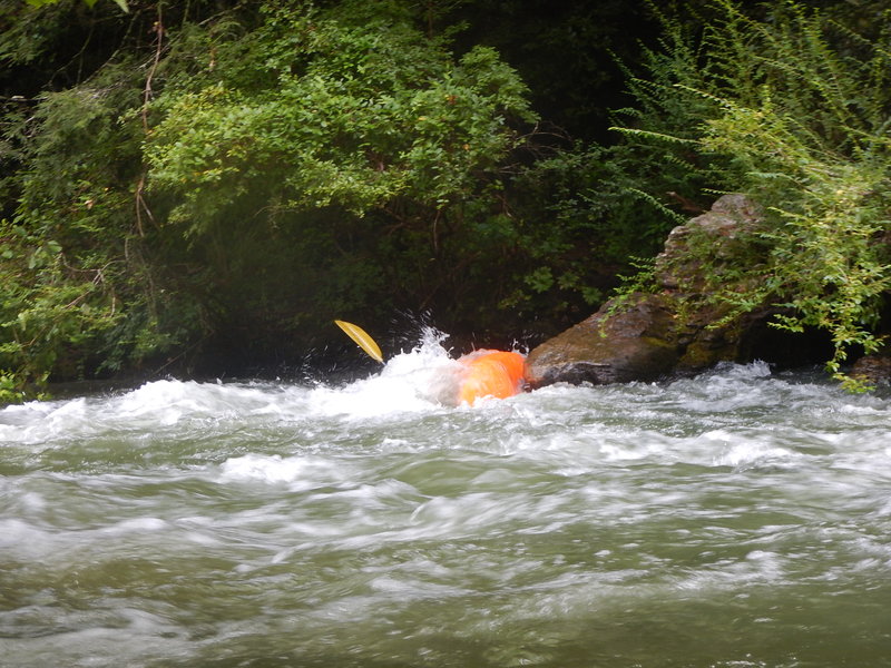
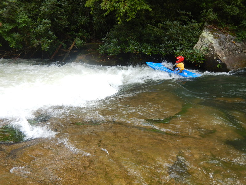
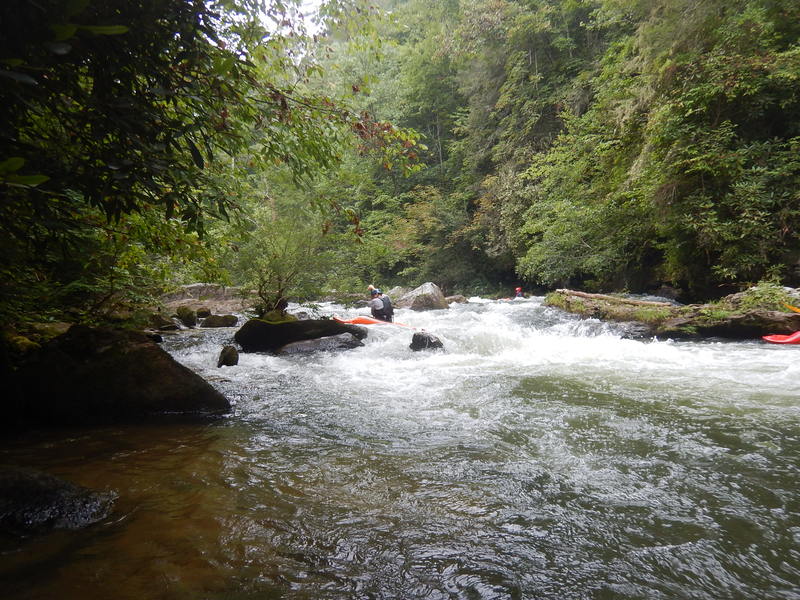
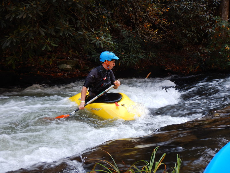
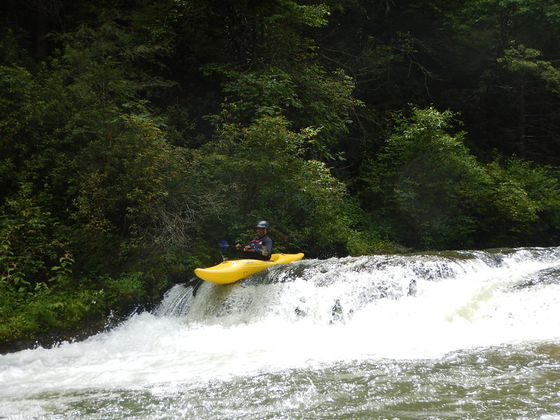
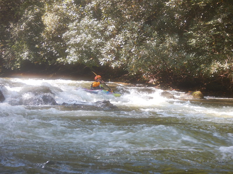
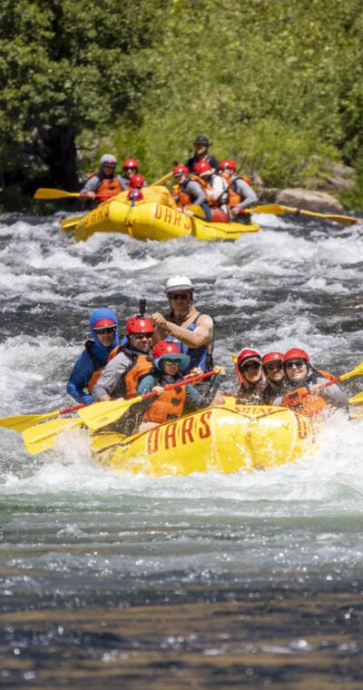
The Upper Green is an excellent intro to creek boating with frequent optimal dam releases making it readily available. The 3.7 mile long run alternates between Scenic Class I-II and more defined bedrock drops. Two drops in particular, Bayless' Boof and Pinball offer Class III+/IV excitement. Bayless' is easy to scout and portage, with the main line riding the tongue down river left, and a sneak line sliding down the river right side. Stay heads-up for a sloping ledge hole that is the next rapid after Bayless's which can be sticky. Pinball comes after paddling under the I-26 bridge: follow the left-of-center tongue and move just a bit left for a slide through a hole on the left side of the river. Save some energy for a suf just upstream of the take-out.
Perhaps the only downside to the Upper Green is the significant uphill hike-out (0.7 mile and ascending 300' in elevation), and the small amount of public parking at the top of the hill. The hike out begins on river left just upstream of the Big Hungry Creek confluence and just downstream of a fun surf wave. Pass Big Hungry and you'll quickly find yourself in the Class V Narrows.
You'll need to purchase a key to the private take out parking lot to utilize the large paddler parking lot. The other option is to use the 6-8 public parking spaces right at the trailhead, which are often fully utilized during the summer by folks hiking into Big Hungry Creek to swim. Go to Green River Access for info about keys: Green Key
While there is no online gauge for the Green, Northbrook Power Management posts a rolling 3-day release schedule year round, and also complies with an annual schedule during the warmer months. Here is the link: < http://carolinalakelevels.com/Tuxedo.php>. Generation is given in % of unit(s). 100% of one unit is an OK level, especially when it has been raining and you are also getting inflow from side creeks. Anything less than 100% is bony (unless the river has a lot of inflow). 200% is a sweet level. The link also gives you Lake level where 100 is a full lake and anything over that is spilling over the dam. 100.4 is about the equivalent of a single unit at 100%. So even if no turbines are running 100.4 will provide adequate flow. The link also has the annual release schedule, and a discharge reading that paddlers are working on better understanding.
Rapids in this Run (10)
 Rapid
II+
Rapid
II+
Saluda Stuffer
 Rapid
III
Rapid
III
Wanda's Hole aka Witches
 Rapid
III
Rapid
III
Z Turn / Devils Elbow
 Rapid
II
Rapid
II
360 Hole & Safety Meeting
 Rapid
II
Rapid
II
No Name Ledge
 Rapid
Rapid
Interstate Highway 26 Bridge
 Rapid
II
Rapid
II
Class 2 above Pinball
 Rapid
III+
Rapid
III+
Pinball
 Rapid
II
Rapid
II
Takeout Rapid & Wave
 Rapid
Rapid
River Exit and Start of Trail
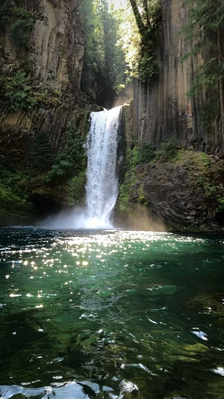
Waterfalls (1)
Difficulty
Class II-III+
Length
3.8 mi
Gradient
49 ft/mi
max 55
Rapids
10
Access Points
Shuttle Info
Most people running the Upper Green start at the takeout parking area on Gallimore Rd. On I-26 take exit 53 (Upward Rd) and head east (this is the Marathon gas side of I-26) In about 1.5 miles there will be two churches side by side; just past those churches turn right onto Big Hungry Rd. Once on Big Hungry, you must bear left then bear right to stay on Big Hungry. Next turn right onto Gallimore Rd. At the end of Gallimore Rd at the circle, there is a gated parking lot on the right. It is maintained by Green River Access; keys are $60 per year. This link takes you to the GRA site. http://greenriveraccess.com/ An alternate method of finding the parking lot is to plug in 825 Gallimore Rd, Flat Rock, NC 28731 into your GPS.
To get to the put in return to I-26 and head East to exit 54 (rte 25 south). On rte 25, take exit 7 (rte 176) and turn left onto 176. As you pass Never Blue road you should slow down a little as the next turn is a left onto Pot Shoals road and it is a falling away hairpin turn than you want to take slowly. Take Pot shoals about 1/2 mile to the put in. There is a rather obvious parking area as you cross the bridge.
You can also get to the put in from Gallimore by returning to Upward Rd but turning left onto Crest Rd before you get to I-26. After Crest Rd crosses over I-26, immediately turn left onto Oak Grove Rd. Oak Grove takes you to rte 176, turn left and follow it to Pot Shoals.
Difficulty Classes
I Easy
II Novice
III Intermediate
IV Advanced
V Expert/Extreme
VI Unrunnable
Current Conditions
5-Day Forecast
Whitewater data from
American Whitewater
American Whitewater