1. Wild Plum Campground to Downieville
Linked via: Nhdplus discovery 90% confidence Synced 6mo ago
Gauge Conditions
Runnable: 250.0 – 2,500.0 CFS
Data from American Whitewater & USGS
CDEC Flow Data California
Data from California Data Exchange Center (CDEC)
Run Map
Description
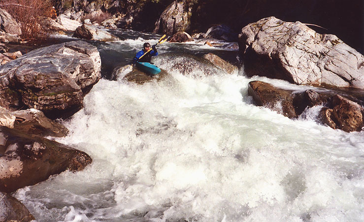
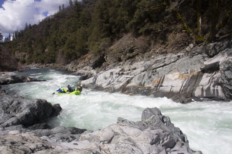
The Sierra City run.
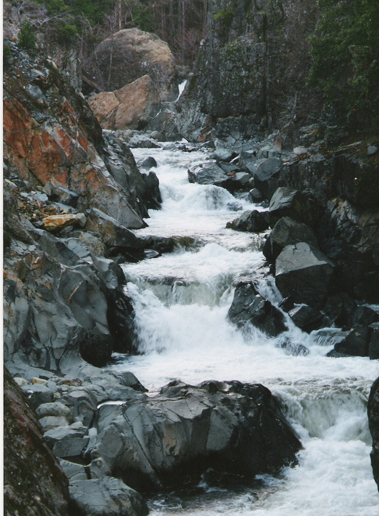
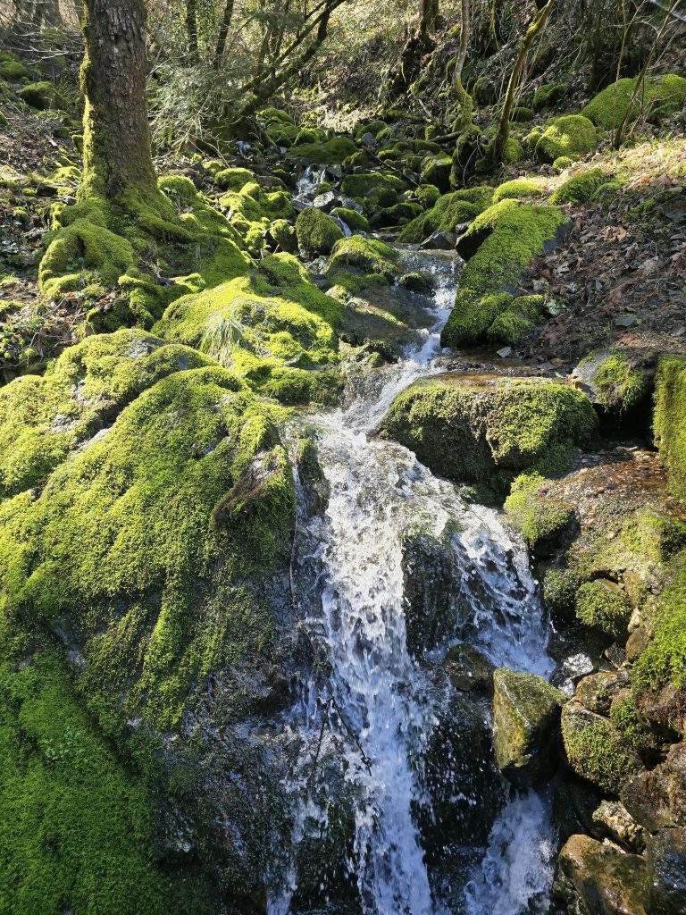
Wild Plum canyon is one of the uppermost regions within the North Fork Yuba River.
The only creeking above this point is 40 degree gradient on mixture of sharp granite substrates that few salmon can make it past.
We dubb this the Sierra City run.
Sikbird note: This run can be notched up considerably by adding the Love Falls section above the Pacific Crest Trail bridge.
Seasonal rain and snow events frequently bump this run up quickly.
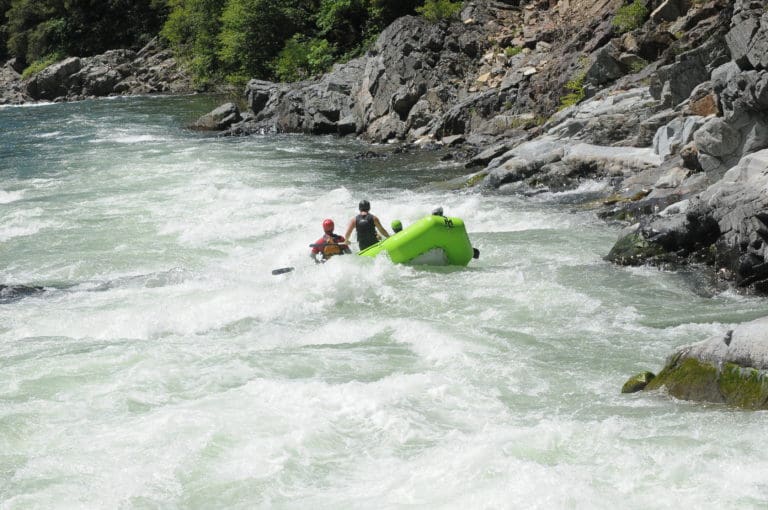
This run offers clear and cold water, beautiful and challenging rapids in steep gradient with real consequences for the uninitiated.
Reference: "California Whitewater, Third Edition" Jim Cassady & Fryar Calhoun
Rapids in this Run (3)
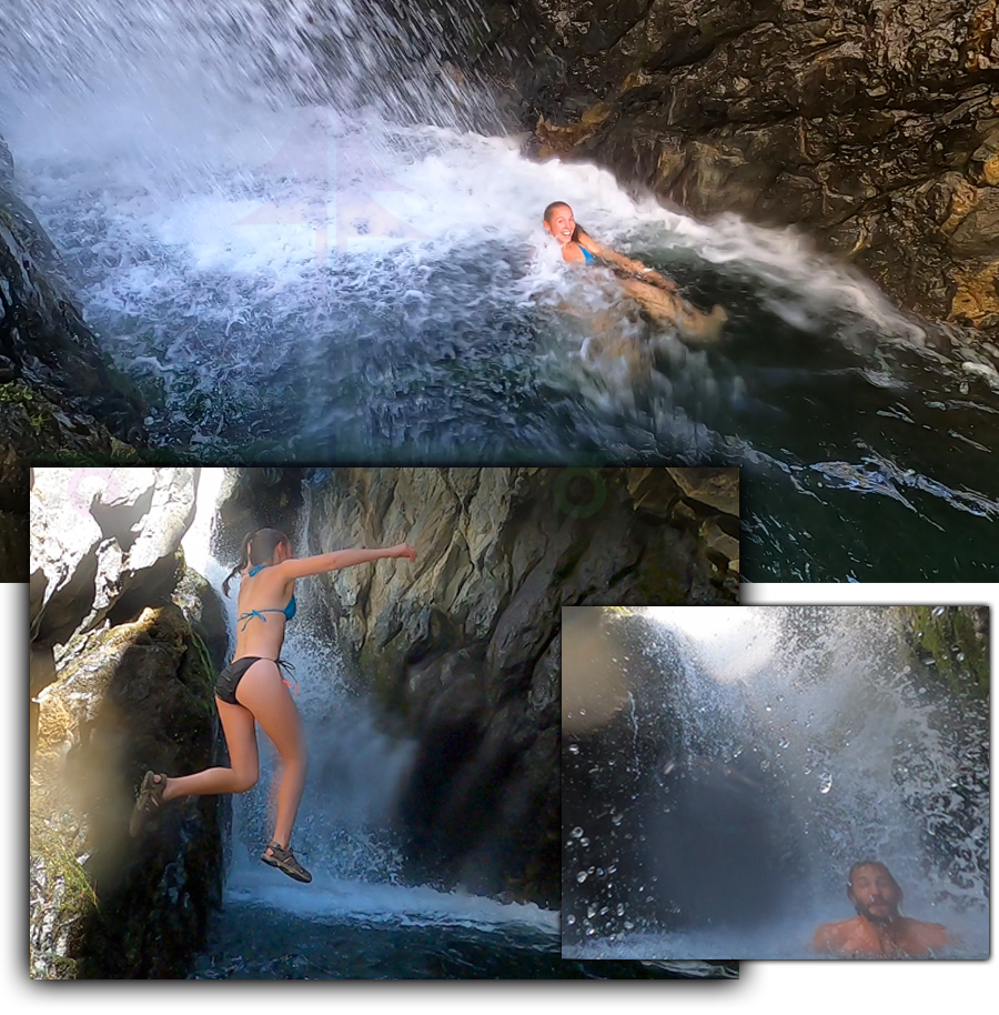
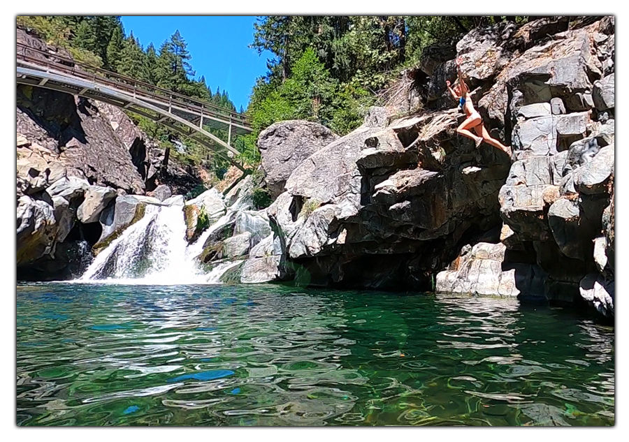
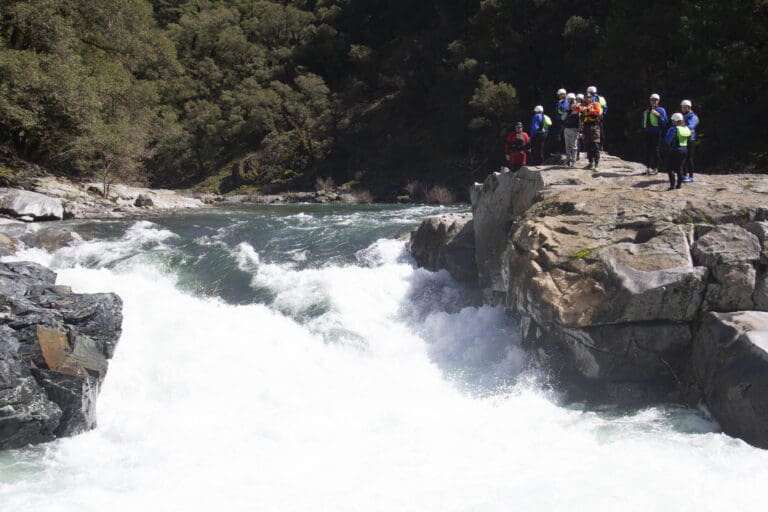
Waterfalls (6)
Hazards & Portages (1)
Caution: The following locations may require scouting or portaging. Always check current conditions.
Difficulty
Class IV-V
Length
14.5 mi
Gradient
108 ft/mi
max 120
Rapids
3
1 Hazard
Access Points
Difficulty Classes
I Easy
II Novice
III Intermediate
IV Advanced
V Expert/Extreme
VI Unrunnable
Current Conditions
5-Day Forecast
Whitewater data from
American Whitewater
American Whitewater