1. Wolf Creek Road to Hangman's Bridge
Linked via: Nhdplus created 95% confidence Synced 6mo ago
Gauge Conditions
Runnable: 400.0 – 4,000.0 CFS
Data from American Whitewater & USGS
Run Map
Run Time Estimate
Select put-in and take-out to estimate time.
Unlock Advanced Trip Planning
See wind-adjusted speed maps, forecast planning, and detailed time estimates.
Sign in to generate an AI timing estimate for this run.
Whitewater timing varies with scouting, portages, and group pace. Use as a planning baseline.
Description
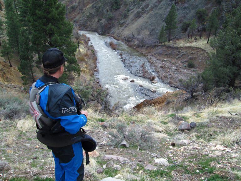
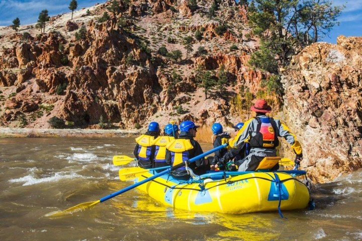
The Upper EF Carson is a roadside run that is steep and continuous class III (or harder at higher flows). Trees and strainers are a frequent problem, so scout thoroughly and be careful.
Put-in:
Above Hangman's Bridge, Highway 4 follows the river for six miles to near the junction of Silver Creek. It then goes up Silver Creek. Wolf Creek Road heads east up the EF Carson. There appears to be a good launching area in about one mile, just before Wolf Creek Road leaves the river. There are a number of other turnouts and good launching areas whenever the roads are near the river. Scout and take your pick. With investigation, boaters could probably launch even further upstream.
Take-out:
There is a small take out area on river right on the downstream side of the bridge. There are some other options nearby, so scout carefully.
Other Information Sources:
Check out the description in Bill Tuthill's California Creekin.
Holbeck and Stanley
East Fork Resort is just upstream of Hangman's Bridge. Call ahead for camping or to take out or launch at the nice beach there: (530) 694-2229.
Rapids in this Run (3)
Difficulty
Class III
Length
7.3 mi
Gradient
60 ft/mi
Rapids
3
Access Points
Difficulty Classes
I Easy
II Novice
III Intermediate
IV Advanced
V Expert/Extreme
VI Unrunnable
Current Conditions
5-Day Forecast
Whitewater data from
American Whitewater
American Whitewater