12. Coon Creek to Green Riffle
Linked via: Unknown Synced 6mo ago
Gauge Conditions
Runnable: 700.0 – 8,000.0 CFS
Range for best boatability uncertain. Please help your fellow paddlers by providing a comment or report.
Data from American Whitewater & USGS
Run Map
Run Time Estimate
Select put-in and take-out to estimate time.
Unlock Advanced Trip Planning
See wind-adjusted speed maps, forecast planning, and detailed time estimates.
Sign in to generate an AI timing estimate for this run.
Whitewater timing varies with scouting, portages, and group pace. Use as a planning baseline.
Description
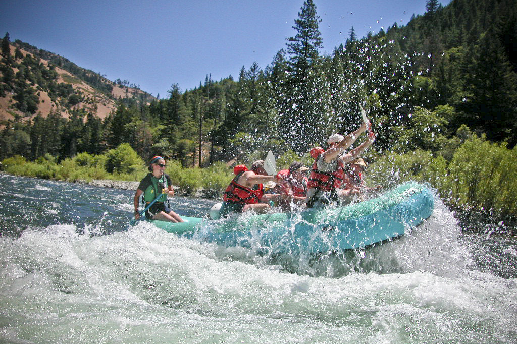
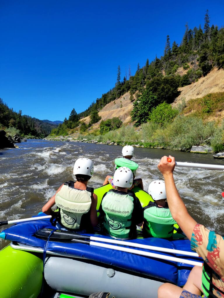
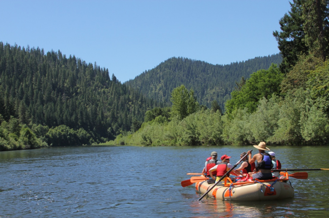
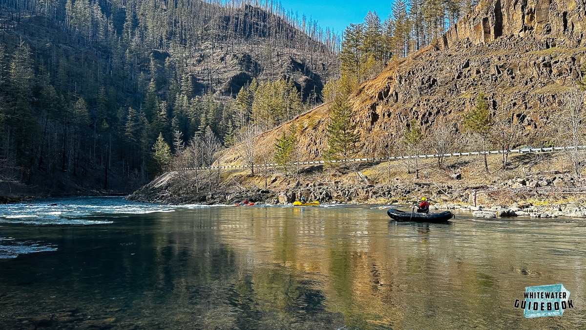
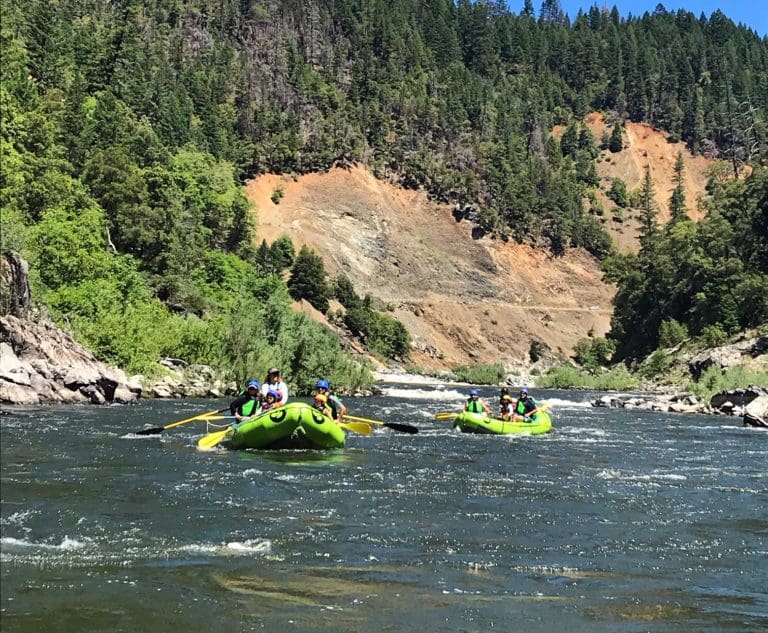
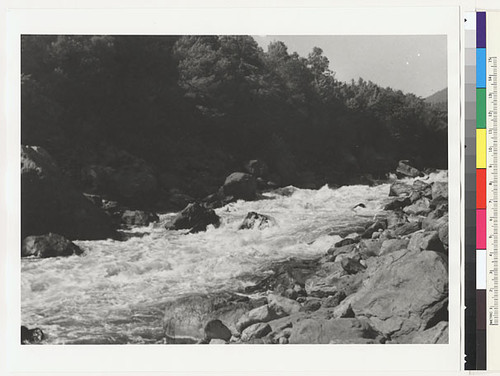
The put-in access for this section is at Coon Creek although this segment can be run as part of a longer trip beginning at an access point farther upstream or a shorter trip beginning downstream (both are common). Multiple access points along the way allow for either day trips or an overnight excursion. All of the rapids are class II-II+ with a couple that have some larger waves and faster currents to make it exciting for beginner and intermediate boaters. Long pools follow every rapid.
This reach is popular with local boaters, summer camps, and a few commercial outfitters. Even so, it is not uncommon to have the river entirely to yourself even in the summer.
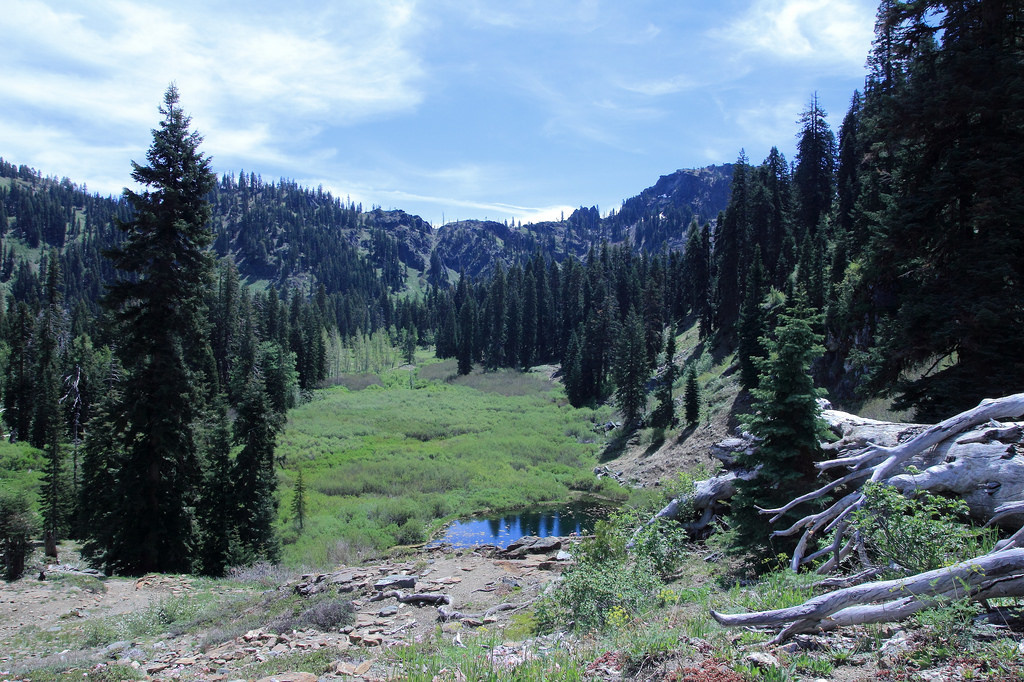
A few parcels of private land are along this stretch but river use tends to be light, the river is largely shielded from the road, and paddlers often experience excellent wildlife viewing.
Most boaters take out at either Persido Bar or Stuarts Bar. But be sure not to miss the last take-out at Green Riffle access and to check the Klamath National Forest website for summertime ceremonial closures at this access.
Logistics
Coon Creek: This access is at Highway 96 mile 23.8 and is a standard put-in for an overnight trip on this section. Parking for Coon Creek River Access is along the highway. A paved access road provides access to the water's edge but no room for turn around or parking. The Forest Service provides a portable toilet here in summer months.
Dillon Creek: This access is at Highway 96 mile 16.0. Parking for day use is along the highway. Access to the confluence of Dillon Creek with the Klamath River, and a prime swimming hole in late summer, is by hiking down an undeveloped trail along Dillon Creek. A campground is available across the highway from the river.
Persido Bar: This access is at Highway 96 mile 13. This site is a high-use, popular take-out for river floaters and it is also frequently used as a put-in for the run down to Stuarts Bar. A graded gravel road to the large cobble bar and a flat road to the water's edge provides convenient access and ample parking. A permanent toilet is also available at this site.
Ti Bar: This access and camping area is at Highway 96 mile 12.1. The site provides a restroom, ample parking, and a shaded dispersed camping area.
Rock Creek: This hike-in access is at Highway 96 mile 11.3. Parking for this access is along the highway and limited. A 1/4 mile steep hiking trail accesses the river.
Stuart's Bar: This access is at Highway 96 mile 4.9 and is a standard take-out for this section. The sign along Highway 96 is faded but the dirt that goes to the river is on the east side of Highway 96 on the downstream of the R. Lyle Davis bridge (very shortly after the bridge on the left if you are driving downriver). Take this dirt road then be sure to bear left onto the steeper road that drops to river level immediately upstream of the brisge. The road is steep with a sharp switchback that could be an issue for longer vehicles.
Green Riffle: This access is at Highway 96 mile 4.5. All boaters must exit the Klamath River here. This is the last take-out before the Ishi Pishi Falls, a class V+ rapid that is off-limits to boating due to its spiritual significance to the native Karuk people. A 1/2 mile long graded road leads to the river bar with an unimproved road to the water's edge.
Reynold's Creek (Karuk: akvatívthuuf): This walk-in access is at Highway 96 mile 3.5. This access consists of a maintained foot trail leading down to the Klamath River and is a popular spot for anglers.
Ishi Pishi Falls Overlook: From the highway pull-out at Highway 96 mile 0.6 near the Salmon River Outpost, far above the river, you can look down in the canyon below and see Ishi Pishi Falls. This a sacred place for the Karuk Tribe who request that boaters not visit the falls or paddle through this section. In the interest of maintaining a good relationship between local boaters and the tribe, we're all working together on improving conditions on the Klamath River, please avoid this particular rapid.
Ishi Pishi Road: The turn off for Ishi Pishi Road is at the Salmon River Outpost, at Highway 96 mile 0.5. This road takes you to the bridge across the Klamath River and the put-in to the first public access downstream from Ishi Pishi Falls and the next river segment downstream, the Ikes Run.
Additional Information:
Klamath National Forest Klamath Wild and Scenic River website with link to Google Earth map of rapids, access points, and campsites < >
Rapids in this Run (12)
 Rapid
II
Rapid
II
Blue Swillup Rapid
 Rapid
Rapid
Dillon Creek River Access
 Rapid
II
Rapid
II
Persido Rapid
 Rapid
II
Rapid
II
Frog Rock Rapid
 Rapid
II
Rapid
II
Ti Bar Rapid
 Rapid
Rapid
Ti Bar River Access
 Rapid
Rapid
Rock Creek River Access
 Rapid
Rapid
Rock Creek
 Rapid
II
Rapid
II
Wall Shot
 Rapid
II
Rapid
II
Kissing Rock Rapid
 Rapid
II+
Rapid
II+
Sandy Bar Rapid
 Rapid
Rapid
Reynolds Creek Access
Hazards & Portages (1)
Caution: The following locations may require scouting or portaging. Always check current conditions.
Difficulty
Class II
Length
20.0 mi
Rapids
12
1 Portage
Access Points
Difficulty Classes
I Easy
II Novice
III Intermediate
IV Advanced
V Expert/Extreme
VI Unrunnable
Current Conditions
5-Day Forecast
Whitewater data from
American Whitewater
American Whitewater