Gauge Conditions
Runnable: 500.0 – 10,000.0 CFS
Data from American Whitewater & USGS
Run Map
Run Time Estimate
Select put-in and take-out to estimate time.
Unlock Advanced Trip Planning
See wind-adjusted speed maps, forecast planning, and detailed time estimates.
Sign in to generate an AI timing estimate for this run.
Whitewater timing varies with scouting, portages, and group pace. Use as a planning baseline.
Description
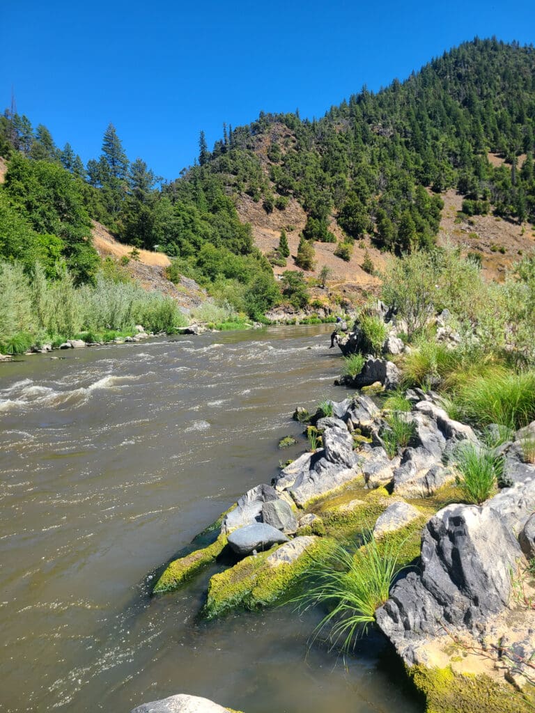
This rarely boated section of the Klamath offers a big scenery and forgiving whitewater suitable for boaters with solid moving-water skills. The entire stretch is rich with cultural and ecological significance, flowing from the ancestral lands of the Karuk Tribe and into those of the Yurok Tribe.
From the put-in at Dolans Bar, the river flows approximately 1.5 miles through flatwater with two small riffles to the town of Orleans (Karuk: Panámnik), most of which is situated on river right downstream of the picturesque suspension bridge of Highway 96, the Bigfoot Scenic Highway. Orleans is the first of two settlements on this stretch and has a clinic, elementary school, small grocery store, gas station, post office, watershed council, and Forest Service station. There's an unsigned river access point on river right directly across Highway 96 from the Orleans Ranger Station, adjacent to the upriver side of gas station. The river here is slow and wide with a few named riffles: Rifle Range, Rock, Camp Creek, and Hillman riffles.
On the downriver end of Orleans just above the confluence with Camp Creek on river right, the river passes by T'ishánnik, one of three locations where the annual Karuk World Renewal Ceremony or Pikyávish, has been celebrated since time immemorial. It is also the site of frequent cultural burns, so don't be surprised to see this in practice. Please enjoy the view of T'ishánnik as you float by, but do not exit the river here.
Not far below is Ullathorne (Karuk: Tûuyvuk) and its signed river access on river right. Below here, the river moves slightly away from the lightly traveled Highway 96, leaving the river corridor feeling quiet and remote.
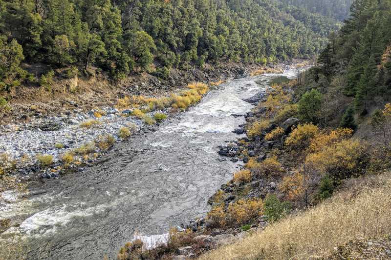
The river meanders past gravel bars with a few splashy rapids before entering a narrow, forested canyon near Red Cap Creek—a location once studied as a potential dam site. Sarvorum Mountain towers 1,000 feet above the river as Red Cap Creek joins from the left.
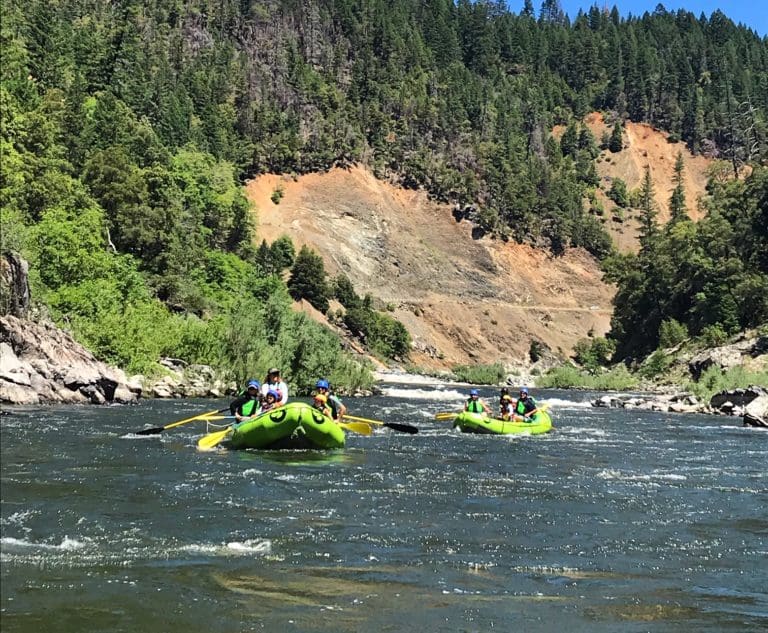
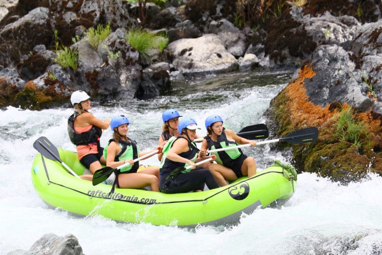
Rapids on this run are typically straightforward, with wide lines and clear sightlines. They are generally Class II. Bluff Creek Rapid, sometimes singled out as more technical than the others, shouldn’t present problems for attentive boaters.
The Aikens Creek Recreation Area marks the lowermost formal recreation site managed by the Forest Service on this section. Accessing the river here requires 4WD vehicle and a walk over a boulder bar (or a 2WD vehicle and a longer walk). The site is open for dispersed camping or, directly across Highway 96 is E-Ne-Nuk Campground.
The final six miles to Weitchpec has widely spaced Class II rapids, big views, and some dramatic boulders. For those planning to take out at Weitchpec, which is on the Yurok Reservation, first inquire locally at the Yurok tribal offices on Highway 96 regarding river access.
Amenities
There is gas in Orleans (closed Sunday, no gas after hours other days) and a small grocery store with amazing Indian food, and a tribal clinic. There is a gas staion with 24-hour pumps and a store in Weitchpec. There is no cell service in the area.
Rapids in this Run (10)


Difficulty
Class II
Length
18.0 mi
Rapids
10
Access Points
Difficulty Classes
I Easy
II Novice
III Intermediate
IV Advanced
V Expert/Extreme
VI Unrunnable
Current Conditions
5-Day Forecast
Whitewater data from
American Whitewater
American Whitewater