2. Bear Creek to Paola Access Wild
Linked via: Proximity 100% confidence Synced 6mo ago
Gauge Conditions
Runnable: 1,000.0 – 8,000.0 CFS
Data from American Whitewater & USGS
Run Map
Put-in
Take-out
Rapids/Hazards
Wild
Recreational
Description
This scenic reach of the Middle Fork forms the southern boundary of Glacier National Park and is protected as part of the Flathead Wild and Scenic River system. The trip begins at the Bear Creek access area on river right, easily reached from Highway 2 at the point where the river emerges from the Great Bear Wilderness.
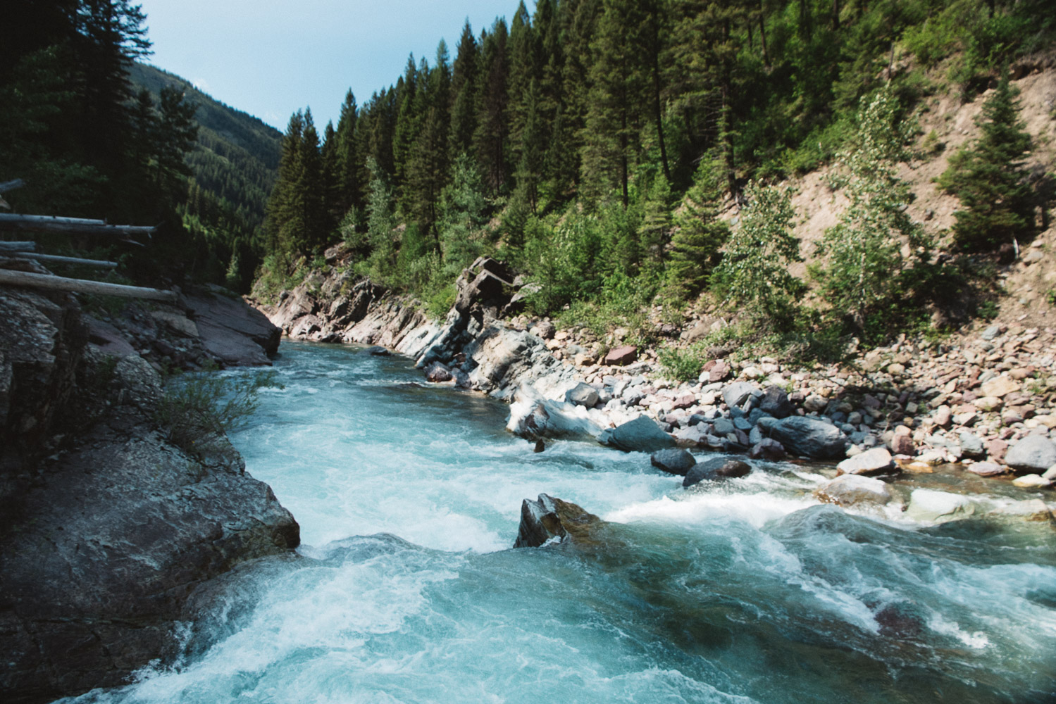
The action starts immediately with Bear Creek Rapids, a bouldery Class II–III feature just below the put-in that sets the tone for the upper section as the river pulls away from the highway. Passing under the railroad bridge, the river enters a striking red mudstone canyon, its walls glowing in late light and lending a sense of intimacy unique to this part of the Middle Fork. Rapids remain mostly Class II, though Staircase Rapids, a couple miles downstream, stands out as more technical and challenging. Between rapids, the scenery is superb—dense forested slopes, glimpses of high country above, and the occasional sight of wildlife. Keep an eye out for Walton Goat Lick, a mineral seep where mountain goats are often seen clambering on the cliffs. Boaters are not permitted to stop within 1/4 mile upstream or downstream of Goat Lick for the protection of the mountain goats.
At about 5 miles, paddlers reach the Essex access area on river left, just before the river passes beneath Highway 2. This serves as a convenient take-out for those seeking a shorter outing, but continuing downstream brings a change in character.
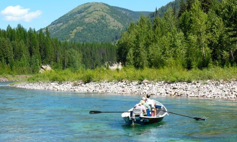
Below Essex, the river opens up, flowing through broad bends and cobble bars with mostly mellow Class I–II riffles. The canyon walls recede, giving way to colorful cliffs, gravel cut banks, and occasional glimpses of riverside cabins tucked among the trees. Evidence of the road and railroad appears intermittently, though the river retains a sense of wildness, especially where it drifts away from the road and Glacier National Park remains protected along river right. Approaching Paola Creek, signs of development and proximity to Highway 2 increase on river left, but the final bend, where Paola Creek tumbles in against a forested shoreline, makes for a pleasant take-out after 12 miles on the water.
For those seeking an overnight experience, dispersed camping is permitted on Forest Service land on river left. A land ownership map is helpful to locate these areas. Glacier National Park on river right does not issue camping permits for river floaters but there are some gravel bars on river right within the active channel.
Rapids in this Run (4)


Difficulty
Class II-III
Length
12.0 mi
Gradient
18 ft/mi
Rapids
4
Access Points
Difficulty Classes
I Easy
II Novice
III Intermediate
IV Advanced
V Expert/Extreme
VI Unrunnable
Current Conditions
5-Day Forecast
Whitewater data from
American Whitewater
American Whitewater