2. Big Hungry Creek to Fishtop Access
Linked via: Proximity 94% confidence Synced 6mo ago
Gauge Conditions
Runnable: ? – ? CFS
Approximate reading: This gauge is 6.9 miles away on Green. Use as a general reference only.
Data from American Whitewater & USGS
Run Map
Run Time Estimate
Select put-in and take-out to estimate time.
Unlock Advanced Trip Planning
See wind-adjusted speed maps, forecast planning, and detailed time estimates.
Sign in to generate an AI timing estimate for this run.
Whitewater timing varies with scouting, portages, and group pace. Use as a planning baseline.
Description
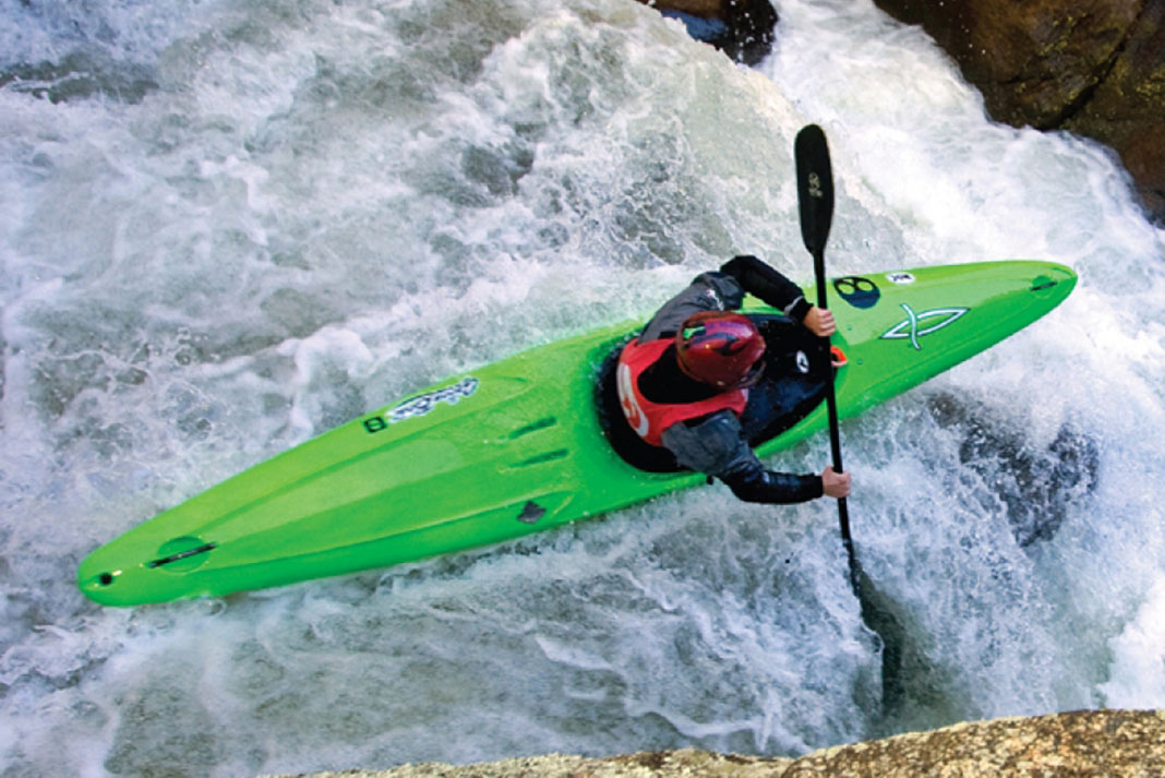
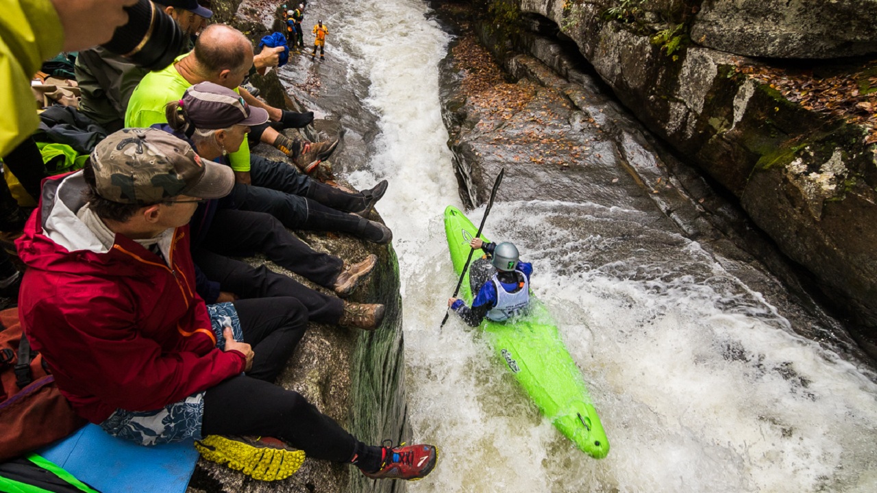
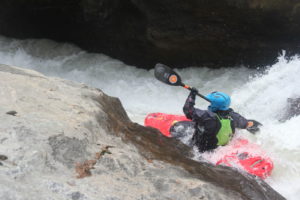
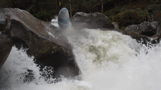
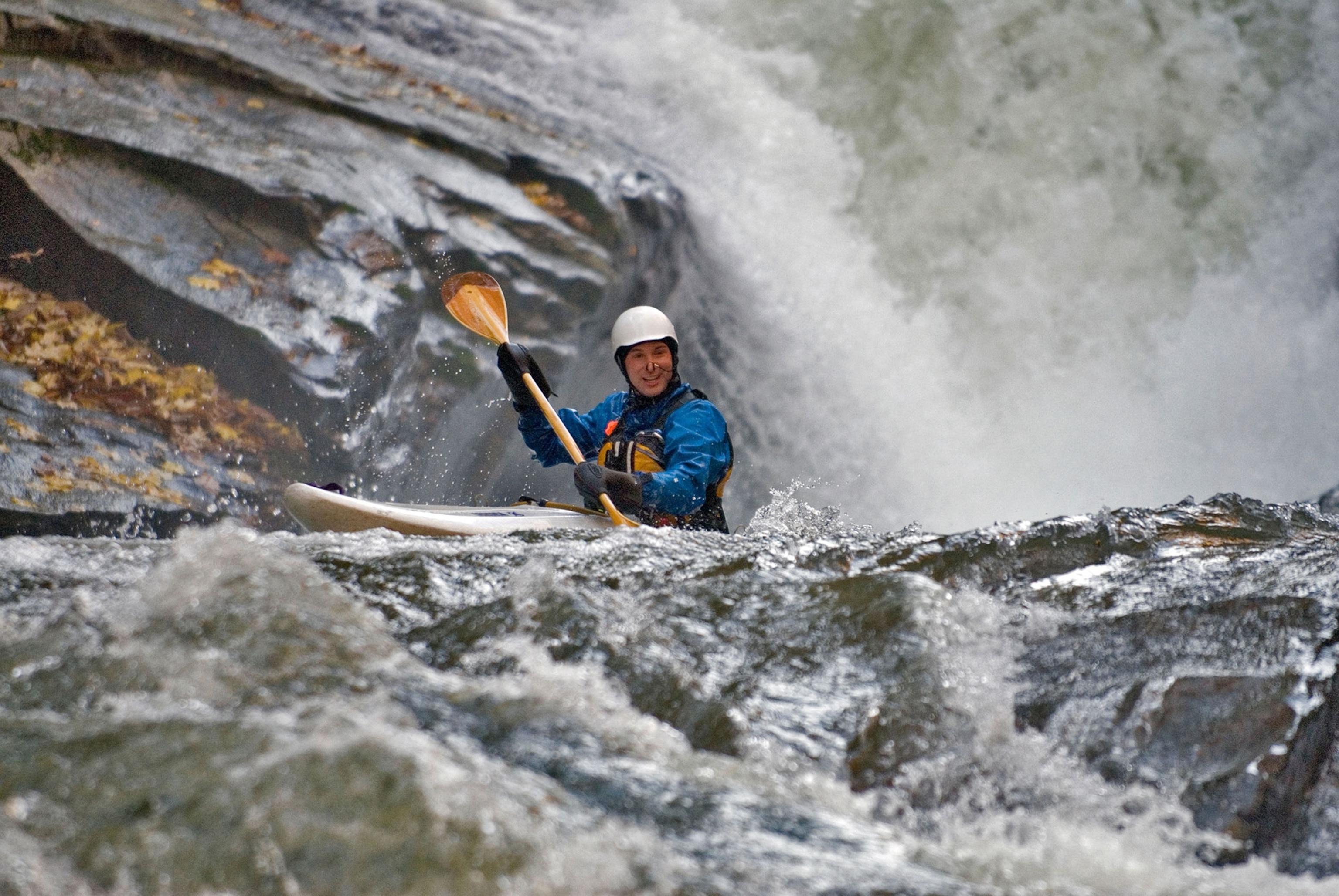
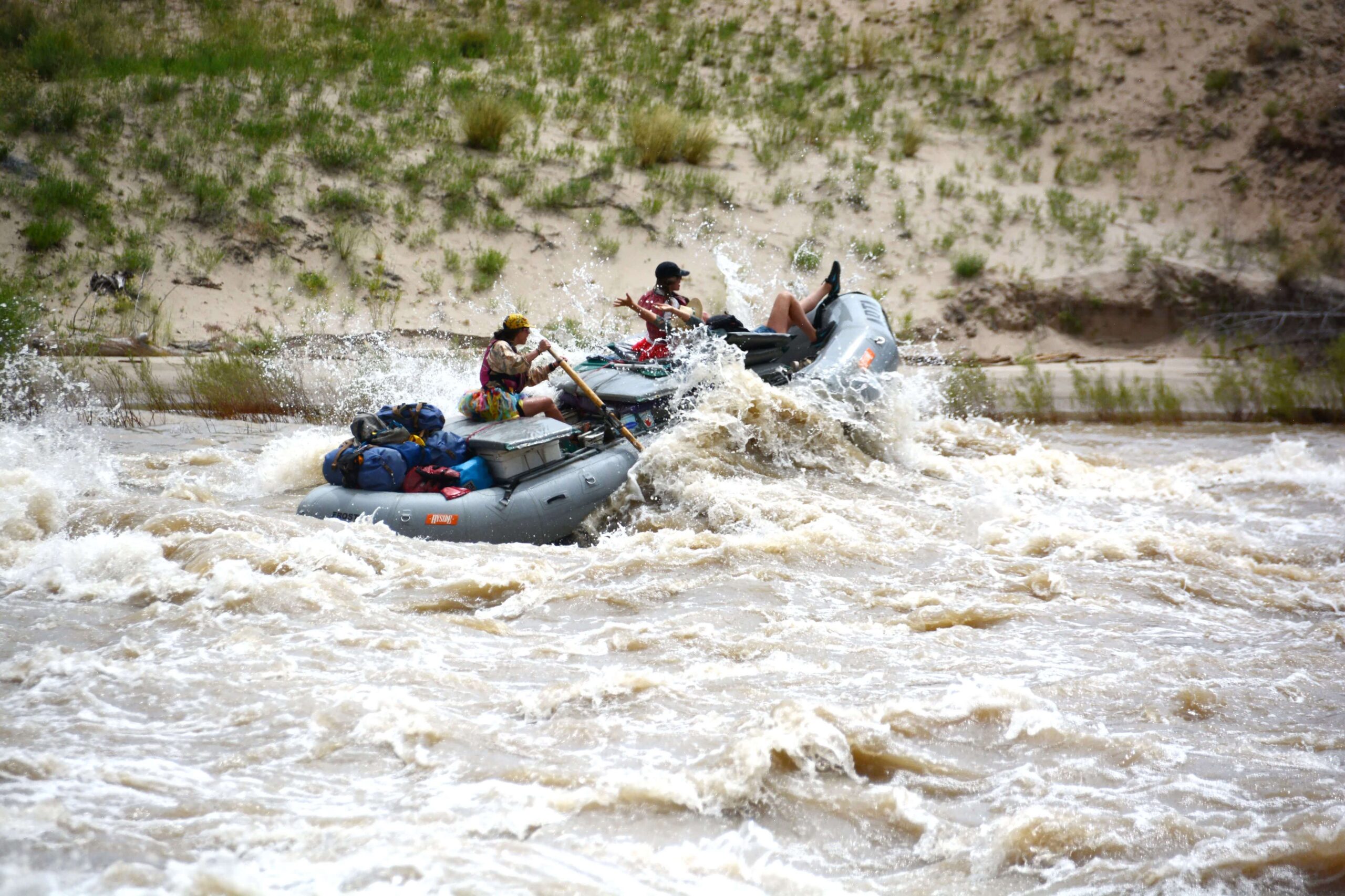
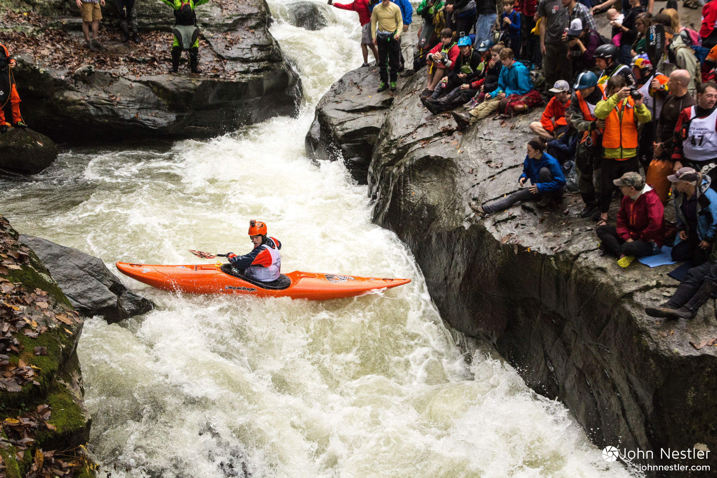
The Green Narrows is a steep, remote, and challenging whitewater run with a rich paddling history. From the late 1980’s until Hurricane Helene hit in the fall of 2024, the Narrows was the centerpiece of advanced paddling the Southeast, characterized by a wonderland of polished boulder drops and slides and dam releases on 300 days annually. The hurricane destroyed the powerhouse that provided releases, and radically altered the riverbed. The run is now free-flowing and flows are estimated based on reservoir levels in Lake Summit. Paddlers can expect some seriously heads-up boating through mazes of boulders, some sieves scattered throughout the run, a still-great series of slides and drops from the reshaped Gorilla through Groove Tube, and some mank in the runout. Ignore information on the run from before September of 2024. On Facebook, meet-ups are made and other information exchanged here.
Access: Paddlers have three options for put ins:
1\. Green River Access Fund Put In Parking: The GRAF owns a parking lot near the end of Gallimore Rd. You can park in this lot to hike into the Narrows 0.7 miles, or hike out of the Upper Green. Suggested annual donation of $20 for site upkeep.
2\. Public Gallimore Road Spaces: There are 6-8 somewhat formal public parking spaces right at the trailhead that can be used, with the caveat that they are often occupied by hikers in the warmer months.
3\. Run the Upper: You can also just run the Upper Green into the Narrows.
Setting:
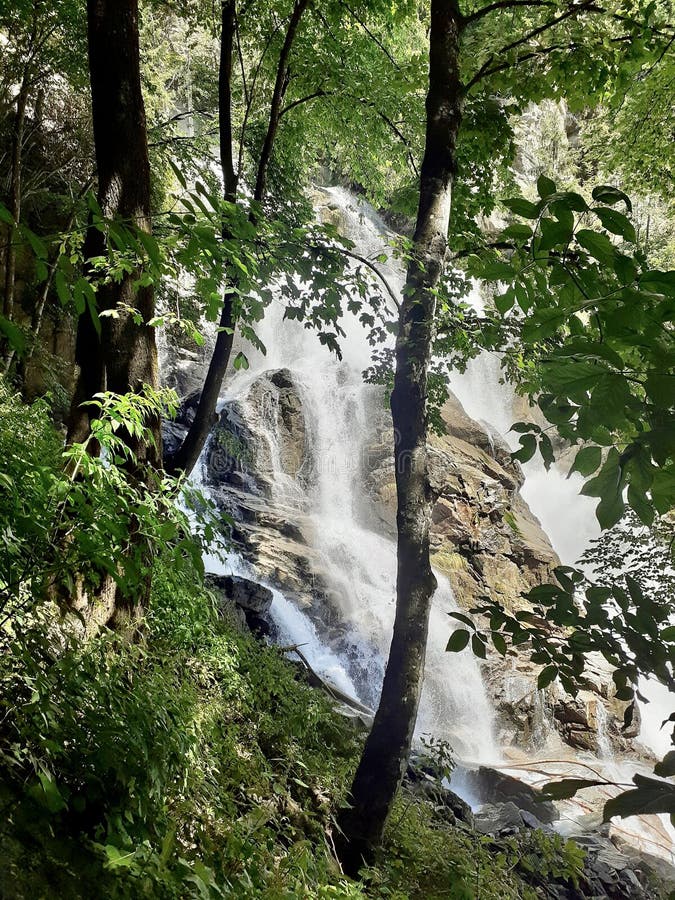
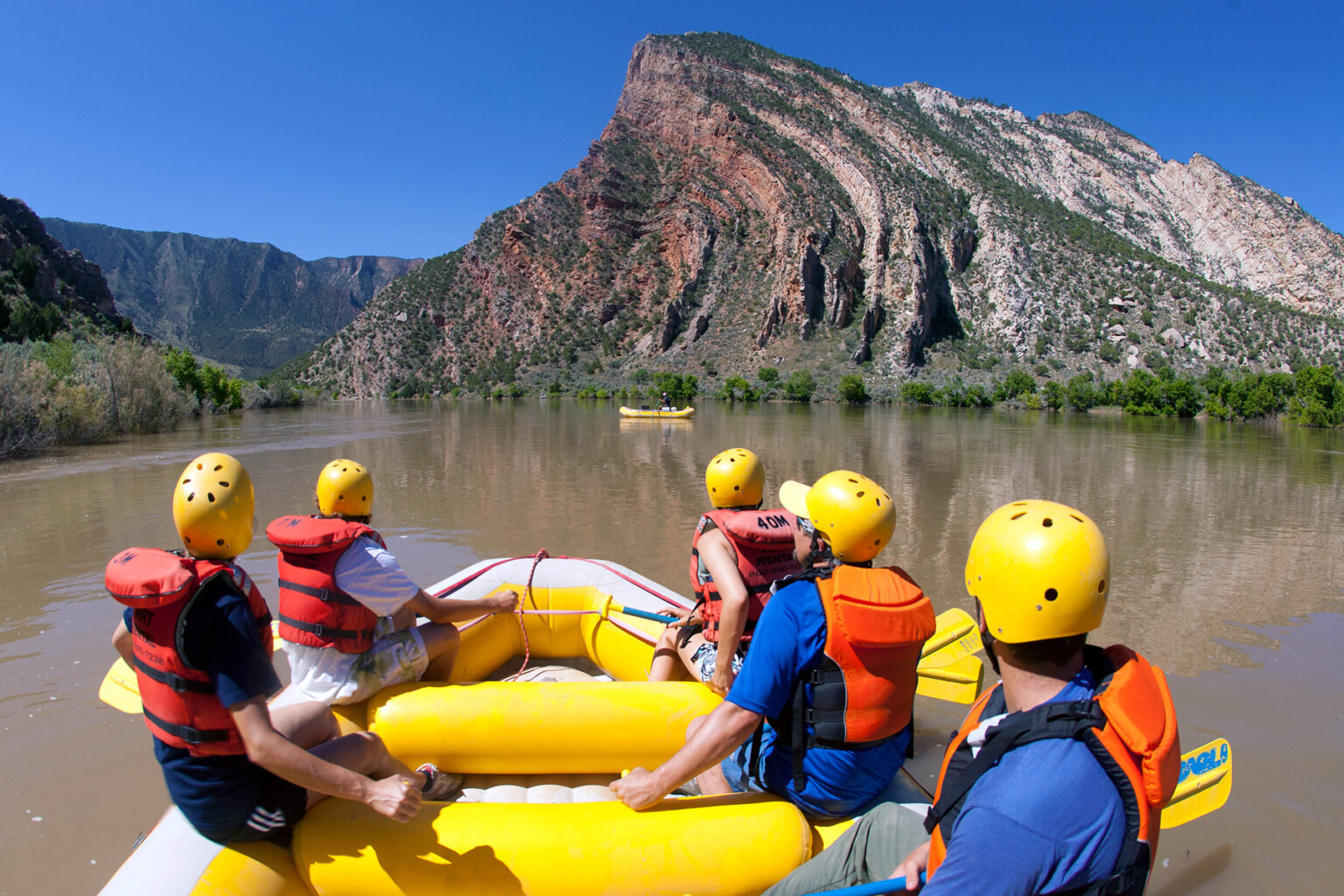
The Narrows is wholly located within the Green River Gamelands, a rugged tract of more than 14,000 acres along the Green River in Henderson and Polk Counties. Owned by the people of the State of North Carolina and managed by the NCWRC, the primary purpose of the Gamelands remains wildlife conservation and management. The 16+ miles of trails are for foot and bicycle traffic only. River otters, bears, deer, snakes, turtles, fish, and all manner of birds share this beautiful place. Take note that camping is *not allowed* on state Gamelands save for in one gravel turnaround near the far end of Big Hungry Road.
History:
Tom Visnius and John Kennedy are normally considered as having the first full descent of the Green in 1988. The river though, has a storied history leading up to that fateful day including some legit descents by a wide cast of expert paddlers, as captured in this Men's Journal article. Finally, not every river has a paddler's holiday that's cause for true celebration, but the Green does and it's called Ladshaw Day.
Events:
The Green is and was the home to several awesome events. The annual Green Race is a most revered and hotly contested affair, held at high noon on the first Saturday in November since 1996. Other events over the year included Jerry's Battle, a paddling & bicycling biathlon fundraiser, the Green River Games--featuring the 'Silverback', a triathlon gruel-fest of 8, 8, and 8 miles throughout the Gamelands, and even a Rodeo.
The Green Narrows will likely change and evolve in the coming years as sediment fills in and loose rocks shift around. As the Green changes, so too are paddlers, who are learning and enjoying the very different but still wild and special Green River Narrows.
Rapids in this Run (10)
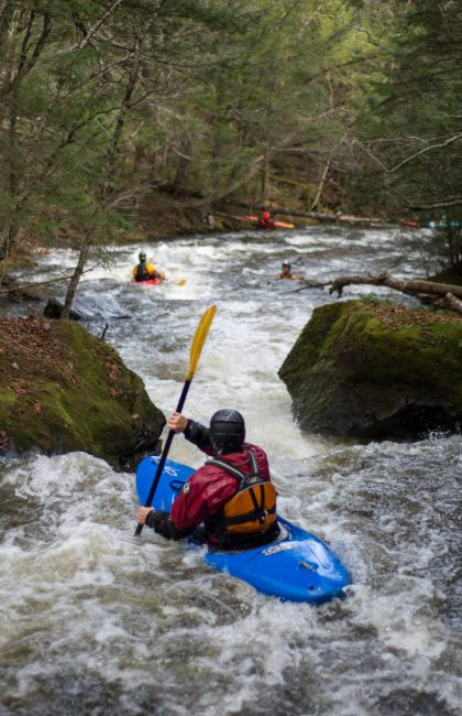
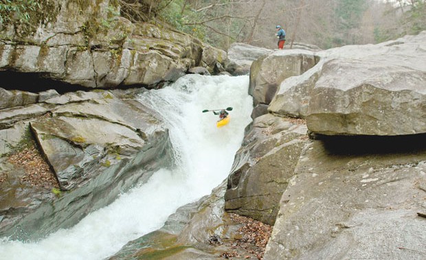

Waterfalls (6)
Hazards & Portages (7)
Caution: The following locations may require scouting or portaging. Always check current conditions.

Difficulty
Class IV-V(V+)
Length
3.0 mi
Gradient
178 ft/mi
max 342
Rapids
10
7 Hazards
Access Points
Shuttle Info
**Please use** [**this link**](http://www.americanwhitewater.org/content/Photo/detail/photoid/18109/) **to see the proper directions, including hiking directions to get in to the heart of the Narrows (Gorilla, etc.).**
**The map below is all screwy, so do NOT follow it.**
Difficulty Classes
I Easy
II Novice
III Intermediate
IV Advanced
V Expert/Extreme
VI Unrunnable
Current Conditions
5-Day Forecast
Whitewater data from
American Whitewater
American Whitewater