2. Confluence of Gandy Creek at Gandy, WV to Synder Road (CR 32/4) bridge over Dry Fork
Linked via: Nhdplus created 95% confidence Synced 6mo ago
Gauge Conditions
Runnable: 3.3 – 7.5 FT
Data from American Whitewater & USGS
Run Map
Run Time Estimate
Select put-in and take-out to estimate time.
Unlock Advanced Trip Planning
See wind-adjusted speed maps, forecast planning, and detailed time estimates.
Sign in to generate an AI timing estimate for this run.
Whitewater timing varies with scouting, portages, and group pace. Use as a planning baseline.
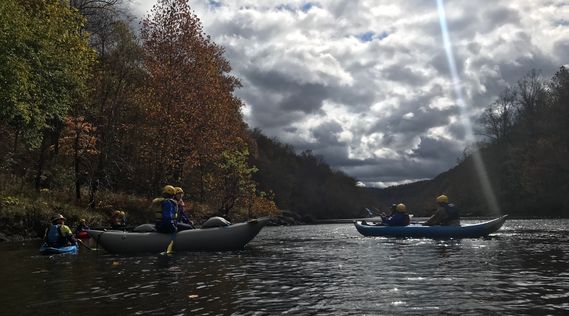
Description
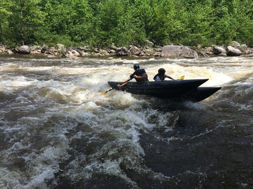
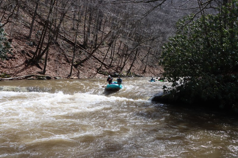
Most of the rapids above Harmon are straight forward and formed by cobble bars or rock gardens. There is a ledge upstream of Harmon visible from US33 and another one below Harmon that is not visible from WV 32 that first timers may need to scout. In between these two ledges is a 3 foot low head dam which at certain levels would have a keeper backwash - approach with caution
Rapids in this Run (2)
Hazards & Portages (2)
Caution: The following locations may require scouting or portaging. Always check current conditions.
Difficulty
Class I-III
Length
11.0 mi
Gradient
40 ft/mi
Rapids
2
2 Hazards
Access Points
Difficulty Classes
I Easy
II Novice
III Intermediate
IV Advanced
V Expert/Extreme
VI Unrunnable
Current Conditions
5-Day Forecast
Whitewater data from
American Whitewater
American Whitewater