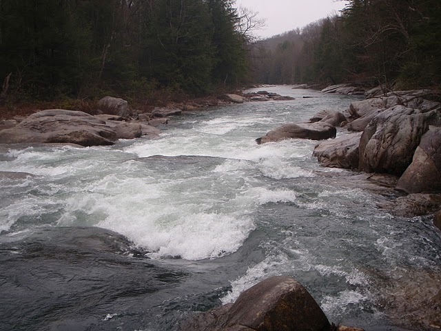
2. Confluence of Laurel Fork to Audra State Park
Linked via: Proximity 94% confidence Synced 6mo ago
Gauge Conditions
Runnable: 3.0 – 6.5 FT
Data from American Whitewater & USGS
Run Map
Description
Put-in may also be made at Finnegans Ford 1/2 mile upstream from Laurel Fork.
Rapids in this Run (1)
Difficulty
Class I-III
Length
3.3 mi
Gradient
25 ft/mi
Rapids
1
Access Points
Difficulty Classes
I Easy
II Novice
III Intermediate
IV Advanced
V Expert/Extreme
VI Unrunnable
Current Conditions
5-Day Forecast
Whitewater data from
American Whitewater
American Whitewater