2. Dale to Monument Wild
Linked via: Manual fix 90% confidence Synced 6mo ago
Gauge Conditions
Runnable: 800.0 – 10,000.0 CFS
Data from American Whitewater & USGS
Run Map
Put-in
Take-out
Rapids/Hazards
Wild
Scenic
Recreational
Run Time Estimate
Select put-in and take-out to estimate time.
Unlock Advanced Trip Planning
See wind-adjusted speed maps, forecast planning, and detailed time estimates.
Sign in to generate an AI timing estimate for this run.
Whitewater timing varies with scouting, portages, and group pace. Use as a planning baseline.
Description
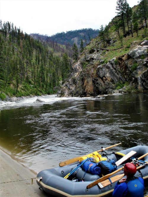
The North Fork John Day is a wonderful multi-day whitewater run suitable for intermediate paddlers that is typically run over 2-3 days. Rafts, kayaks, and inflatable kayaks are all popular but this is also a great run for experienced whitewater canoeists. Because this is a good weekend trip, consider a weekday trip if you want to encounter fewer people.
This section of the river emerges from the Umatilla National Forest and flows through a landscape of ponderosa pine groves and layered outcrops of basalt that form the canyon this river flows through. Towards the end of the run the pine forests start to transition to juniper and sagebrush. The wide open country invites hiking and exploration for spectacular views.
The public land along the river, managed by Bureau of Land Management, is interspersed with private land and some ranch homes as well as a handful of remote vacation properties. While this is a multi-day river trip, a dirt/gravel road parallels river right and a handful of roads enter the canyon in a few places. This does not intrude from the experience however and you will see more boats on the water than vehicles on the road as traffic is extremely light; in some places it is non existent where road segments are blocked by private gates. Campsites are plentiful on the benches along both sides of the river. The season for this run is late spring snowmelt and it's important to come prepared for the cold water and unpredictable spring weather.
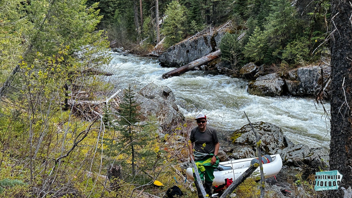
The most significant rapids come in the first 10 miles and are in the class II/III range. Several additional class II rapids continue all the way to the take-out with several fun surf waves.
Camping options become more limited once you pass Wall Creek near the end of the run so plan your last night's camp at a point upstream.
Logistics:
The standard put-in is just upstream of the Camas Creek confluence at a river access site on river left (across the river from Highway 395) where Haden Creek joins the North Fork John Day. Other access points are available on river right downstream of the Camas Creek confluence. You can also put in at Tollgate Campground or any of the other Forest Service sites upstream to extend the run and add a bit more class III whitewater. You can also continue on downstream to the next run and onto the mainstem John Day.
The take-out is at Monument Park on river right approximately 1/2 mile downstream of the Highway 402 Bridge. This is a developed river access site administered by Bureau of Land Management.
Shuttles are available from Boyer's Store in Monument (gas available), Service Creek Resort in Service Creek (raft rental available), and Dale Store in Dale (gas available).
Permits, Regs, etc.: BLM requires a self issued paper permit to float from Dale to Monument which can be found at the Monument and Camas Creek Kiosks. The Camas Creek kiosk is along the road before you drop down to the river. Online permits do not exist for the N. Fork. A portable river toilet is required when floating overnight, and a fire pan is required to have campfires (cutting standing vegetation either dead or alive is not allowed, pack out all ashes). No fires are allowed from June 1 through October 15 each year.
Additional Information:
Soggy Sneakers, Oregon River Tours, Western Whitewater
Rapids in this Run (15)
 Rapid
Rapid
Tollgate Campground
 Rapid
Rapid
Camas Creek confluence
 Rapid
III
Rapid
III
Grandstand Rapid
 Rapid
III
Rapid
III
Surprise Rapid
 Rapid
II
Rapid
II
Chainsaw Rapid
 Rapid
III
Rapid
III
Zipper Rapid
 Rapid
Rapid
Stony Creek confluence
 Rapid
II
Rapid
II
Upper Bridge Rapid
 Rapid
II
Rapid
II
Lower Bridge Rapid
 Rapid
Rapid
Potamus Creek confluence
 Rapid
Rapid
Mallory Creek
 Rapid
Rapid
Ditch Creek
 Rapid
Rapid
Middle Fork River
 Rapid
II
Rapid
II
Basalt Channel
 Rapid
Rapid
Wall Creek
Difficulty
Class II(III)
Length
42.0 mi
Rapids
15
Access Points
Difficulty Classes
I Easy
II Novice
III Intermediate
IV Advanced
V Expert/Extreme
VI Unrunnable
Permit Required
Self-issued paper permits at Monument and Camas Creek Kiosks
Current Conditions
5-Day Forecast
Whitewater data from
American Whitewater
American Whitewater