2. Dorena Dam to East Regional Park
Linked via: Proximity 97% confidence Synced 6mo ago
Gauge Conditions
Runnable: 300.0 – 1,500.0 CFS
Data from American Whitewater & USGS
Run Map
Run Time Estimate
Select put-in and take-out to estimate time.
Unlock Advanced Trip Planning
See wind-adjusted speed maps, forecast planning, and detailed time estimates.
Sign in to generate an AI timing estimate for this run.
Whitewater timing varies with scouting, portages, and group pace. Use as a planning baseline.
Description
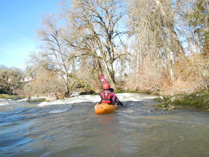
This is a pleasant run with 4 easy class III boulder garden rapids and a scattering of class II rapids. The first three class III rapids are about a mile into the run and all within a half mile stretch. There are a few different options depending on flows and your skill.
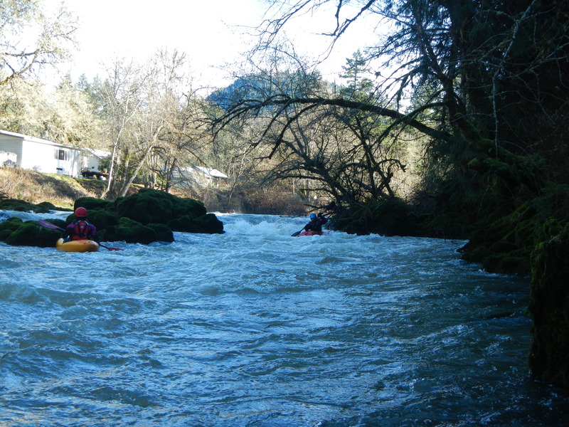
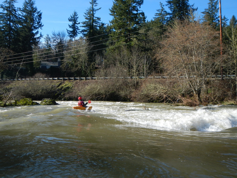
After you pass under the trail bridge and the covered bridge, and about a mile downstream from the other class III rapids, you will come to the last class III drop. This one is right along the road and you will likely spot it on the shuttle drive.
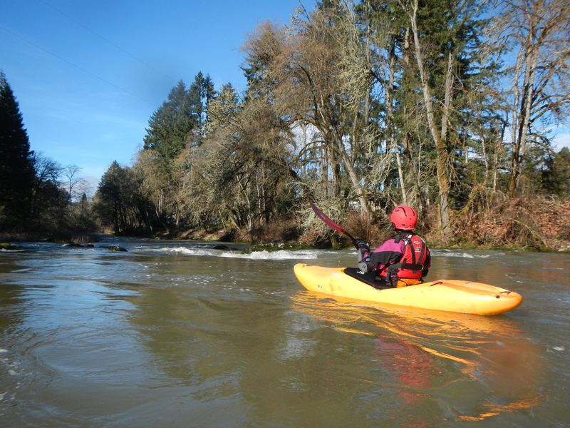
It's another two miles of occasional class II whitewater down to the take-out bridge. The river has nice scenery, though most of it goes by houses and farms.
Logistics: This run is just a couple miles from the interstate. From I-5 take Exit 174 for Cottage Grove and head east on Row River Road. Continue 1.5 miles to the Cottage Grove BMX Track and the river access on the river left downstream side of the bridge. To reach the put-in, cross the river and continue east up river. At 2.7 miles from the take-out the Row River Road makes a turn to the left, but continue straight on Shoreview Drive. You will soon cross the river again and 3.1 miles from the BMX track you will reach the US Army Corps of Engineers Schwarz Campground. If the gate to the campground is closed, typical during the boating season, there is limited parking and you'll have to hike in a couple hundred yards to the river.
Rapids in this Run (4)
Difficulty
Class II-III
Length
4.2 mi
Rapids
4
Access Points
Shuttle Info
From I-5 take Exit 174 for Cottage Grove and head east on Row River Road. Continue 1.5 miles to the Cottage Grove BMX Track and the river access on the river left downstream side of the bridge. To reach the put-in, cross the river and continue east up river. At 2.7 miles from the take-out the Row River Road makes a turn to the left, but continue straight on Shoreview Drive. You will soon cross the river again and 3.1 miles from the BMX track you will reach the US Army Corps of Engineers Schwarz Campground on river left. You can enter here for a fee if you are going to camp. Otherwise, continue for a half mile and take the second left. Follow this road around to the left to the base of the dam. The hike down to the river is about 200 feet.
Difficulty Classes
I Easy
II Novice
III Intermediate
IV Advanced
V Expert/Extreme
VI Unrunnable
Current Conditions
5-Day Forecast
Whitewater data from
American Whitewater
American Whitewater