2: Flat Shoals Bridge to Tanyard Bridge (SSR 37-24)
Linked via: Nhdplus discovery 90% confidence Synced 6mo ago
Gauge Conditions
Runnable: 1.8 – 8.0 FT
Upper limit for best boatability uncertain. Please help your fellow boaters with a comment or report.
Data from American Whitewater & USGS
Run Map
Description
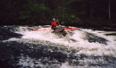
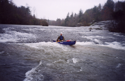
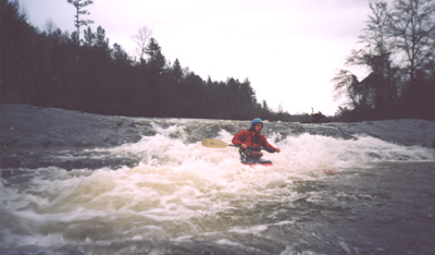
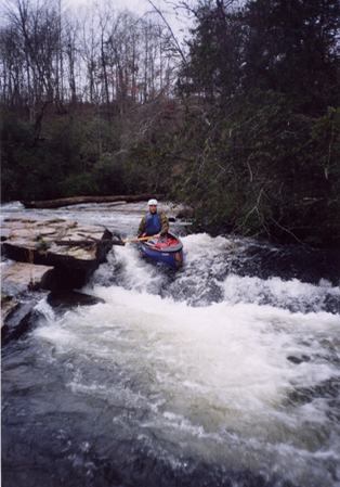
Flat Shoal is the bigger, more agressive cousin of the North Fork of the Little River. Local Clemson boaters advised running the Flat Shoal over the North Fork of the Little because the Little is fairly small, strainer filled, and unexciting. However, that being said, don't get too excited about Flat Shoal. The largest rapids are class III but the last drop can get pushy at really high water. Most of the run is wide. I did not see strainers on my one flood stage trip _(Will Reeves)._
There is no good reason to boat past the takeout bridge because the lake inundates the last few miles of the river, almost within sight of the bridge.
Directions:
Rapids in this Run (1)
Playspots (2)
Hazards & Portages (1)
Caution: The following locations may require scouting or portaging. Always check current conditions.
Difficulty
Class I-III
Length
4.6 mi
Gradient
20 ft/mi
Rapids
1
1 Hazard
Access Points
Difficulty Classes
I Easy
II Novice
III Intermediate
IV Advanced
V Expert/Extreme
VI Unrunnable
Current Conditions
5-Day Forecast
Whitewater data from
American Whitewater
American Whitewater