2: Jones Gap State Park to Gap Creek Rd.
Linked via: Nhdplus discovery 90% confidence Synced 6mo ago
Gauge Conditions
Runnable: 3.5 – 6.0 FT
Gauge at takeout. Previous low was 3.5' several years ago before the gauge was turned off. Correlation may have changed.
Data from American Whitewater & USGS
Run Map
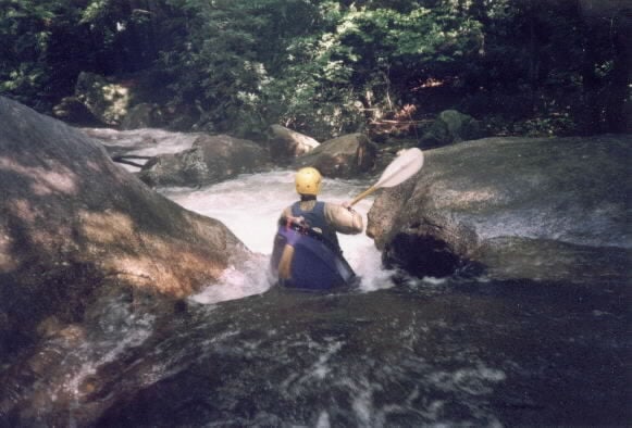
Description
The first part of this run is in the state park and requires a permit to run. Stop at the park office - you will need you car tag and driver's license information. The river leaves the park after about 1/3 mile.
The Middle Saluda changes character very quickly as it leaves Jones Gap State Park. Essentially from the put in at the last parking lot in Jones Gap State Park to the Gap Creek road access this run goes from a class IV boulder field to a gentle stream. The first rapids are the steepest and require scouting to determine if strainers block them.
This section carries a much greater flow than the Gap.
The river enters a wide flat valley below Gap Creek and only a few rapids exist on the section from Gap Creek to the Hwy 11.
Part of this run is private and posted (and is above the officially navigable section of the river, so a low profile is a good idea).
Rapids in this Run (1)
Difficulty
Class II-III(IV)
Length
2.4 mi
Gradient
99 ft/mi
max 120
Rapids
1
Access Points
Difficulty Classes
I Easy
II Novice
III Intermediate
IV Advanced
V Expert/Extreme
VI Unrunnable
Current Conditions
5-Day Forecast
Whitewater data from
American Whitewater
American Whitewater