2) Lower Kennebec: Carry Brook to the Forks
Linked via: Proximity 98% confidence Synced 6mo ago
Gauge Conditions
Runnable: 2,400.0 – 20,000.0 CFS
Data from American Whitewater & USGS
Run Map
Description
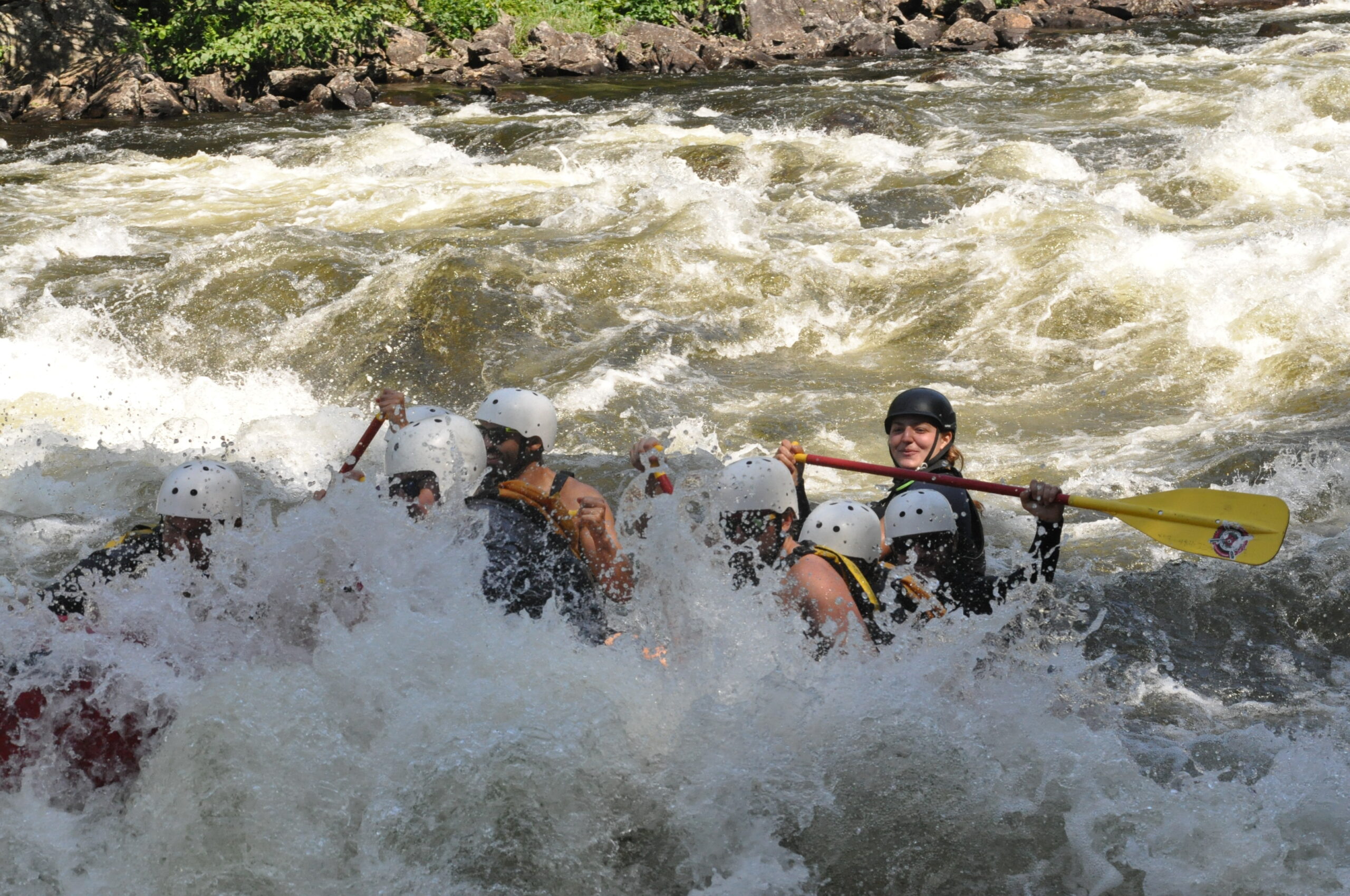
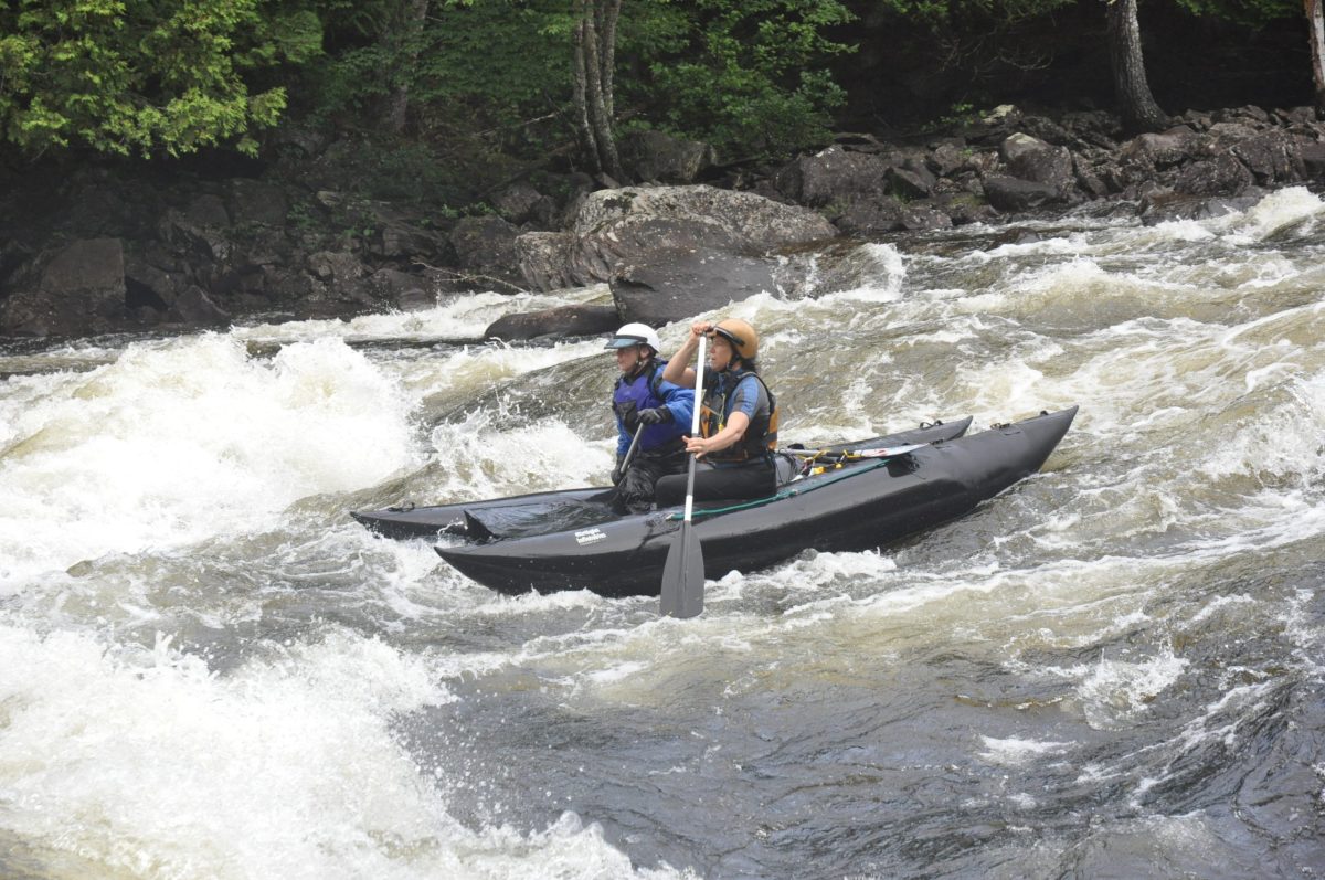
Often run as a continuation of the upper Gorge run of the Kennebec especially for larger water craft such as rafts. The put in is down a long steep staircase to the waters edge at Carry Brook. The river from this point down is generally class II and quickwater. The biggest rapid (Big Black Brook Rapid) comes shortly after the put in. Each rapid thereafter is easier to negotiate. Take out just before the bridge at the Forks on either the right or left banks. The river right takeout by the Ball field is easier.
### Technical info
```
Put in elevation........706'
Take out elevation......574'
Total drop..............132'
Average drop/mile.......17'
Distance................7.8 miles
River width average.....50'
River geology...........Slate ledge
River water quality.....Good, clarity good.
Scenery.................Excellent, isolated wilderness river
Wildlife................Deer, moose, osprey, eagles.
```
Rapids in this Run (2)
Difficulty
Class II-III
Length
8.1 mi
Gradient
17 ft/mi
max 30
Rapids
2
Access Points
Difficulty Classes
I Easy
II Novice
III Intermediate
IV Advanced
V Expert/Extreme
VI Unrunnable
Current Conditions
5-Day Forecast
Whitewater data from
American Whitewater
American Whitewater