2. North River to Riparius
Linked via: Proximity 70% confidence Synced 6mo ago
Gauge Conditions
Runnable: 3.5 – 9.0 FT
Data from American Whitewater & USGS
Run Map
Description
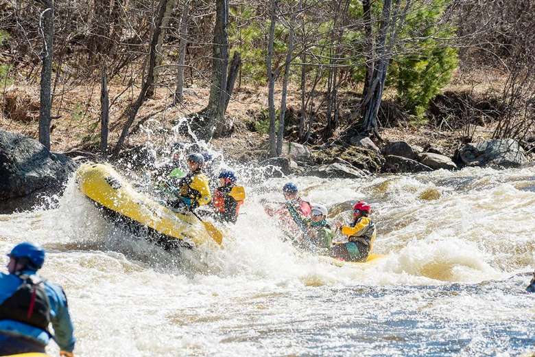
The section of the Hudson River running from North River to Riparius is much quieter than the Hudson Gorge run further upstream.
The Put-In is a trail beaten down to the river across the road from Adirondack Outfitters that is a little steep and has a rope with knots to help people up and down. It is just upstream of the mouth of Thirteenth Brook and the parking area and park right there. Immediately after the put-in you'll want to catch the channel on river left to tackle Mouse and Moust Tail Rapids. Apparently at high water levels there is a sneak line that becomes available on river right for the top portion (Mouse). A unique mineral deposit in the rock wall at river left of Mouse Tail may be of interest to the geologically-inclined.
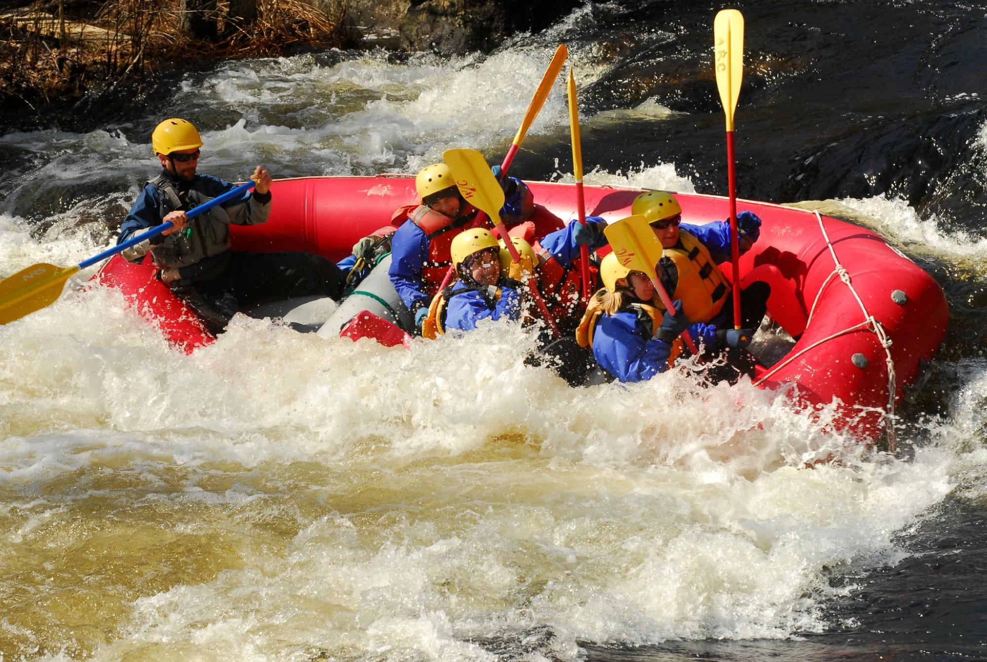
Half a mile downstream is Perry Ehlers Rapids, which is likely the most challenging rapid on this section of the Hudson. Balm of Gilead Brook meets the Hudson just upstream of Perry Ehlers on river right. Those wishing to skip Perry Ehlers can line and boulder hop/wade on river right at low levels or jump onto Rt 28 and cary a tenth of a mile. Be mindful of the fast-moving traffic if carrying.
Below Perry Ehlers there is a mix of flat class I and swifts until one reaches North Creek. This upper section is adjacent the highway and is a commonly used intro to whitewater section.
Passing under the Rt 28N bridge in North Creek, the river turns North and becomes more remote until Riparius. A railroad parallels the river through most of this section on river right, and River Road would be a short bushwack up the right riverbank in most places, but those paddling past North Creek should plan to commit to the entire section to Riparius.
The section of the Hudson from North Creek to Riparius backs off then responds briefly just before arriving in Riparius. It can be challenging identifying an obvious channel through some of the swifts in this portion of the river at low water levels. Boulders will be your main challenge through this section, at least at lower water levels. The last rapid is just upstream from Riparius Bridge and is about half a mile long. The final drop can be seen from Riparius Bridge and can form large waves and holes at higher water levels.
The Take-Out is on river right immediately after the Riparius Bridge. There is a sloping grassy yard, a parking lot, and a beautiful, small park with picnic benches.
NOTE: A dam release farther upstream reaches North River at roughly 2:00pm and changes the class rating of some of the rapids in this section. Once downstream of North Creek the effects of the 'the bubble' are less noticable as the river widens slightly here.
Please help keep rivers Wild and Free!
Join American Whitewater TODAY!
Eastern Adirondacks Reaches
Ausable, E. Branch Ausable, W. Branch (1.) Ausable, W. Branch (2.) Balm of Gilead Brook
Boquet (2.) Boquet (3.) Boquet, N. Branch Boquet, S. Branch
Boreas (1.) Branch, The (Boquet trib.) Branch, The (Schroon trib.) Cedar (1.)
Cedar (2.) Cold Deer Creek (Hudson Trib.) Glen Creek
Hague Brook Hudson (0.) Hudson (1. Indian River to North River) Hudson (2. North River to Riparius)
Hudson (3. Riparius to the Glen) Indian (Hudson trib.) John's Brook La Chute
Mettawee Mill Creek (Essex County) Mill Creek (Hudson trib.) North Creek
Pike Brook Poultney Putnam Creek Raquette (1.)
Rock River Schroon (North Hudson to Schroon Falls) Schroon (Starbuckville to Riverbank) Schroon (Warrensburg to Thurman Station)
Squaw Brook Styles Brook Thirteenth Brook Trout brook (Schroon trib)
West Mill Brook
Google Map of New York Whitewater
New York Whitewater Paddlers Facebook Group
Rapids in this Run (3)
Difficulty
Class II-III
Length
13.0 mi
Rapids
3
Access Points
Difficulty Classes
I Easy
II Novice
III Intermediate
IV Advanced
V Expert/Extreme
VI Unrunnable
Current Conditions
5-Day Forecast
Whitewater data from
American Whitewater
American Whitewater