2. Rat Trap (FR 25) Bridge to Sauk River Scenic
Linked via: Proximity 90% confidence Synced 6mo ago
Gauge Conditions
Primary
Runnable: 1,400.0 – 3,000.0 CFS
Data from American Whitewater & USGS
Run Map
Put-in
Take-out
Rapids/Hazards
Scenic
Run Time Estimate
Select put-in and take-out to estimate time.
Unlock Advanced Trip Planning
See wind-adjusted speed maps, forecast planning, and detailed time estimates.
Sign in to generate an AI timing estimate for this run.
Whitewater timing varies with scouting, portages, and group pace. Use as a planning baseline.
Description
This is a great run with a long season that has been enjoyed by river cruisers for over half a century. Wolf Bauer, founder of the Washington Kayak Club and a co-founder of American Whitewater, recognized the spectacular conservation opportunity of this free-flowing river and it was protected as part of Washington's first Wild and Scenic River designation in 1978.
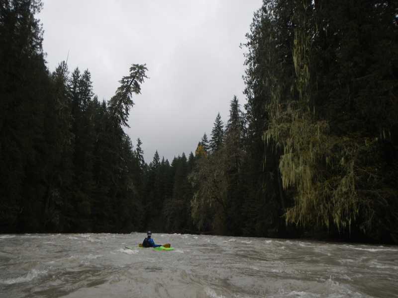
The low elevation of this run means you can enjoy the river throughout the winter after rain and the season can extend well into summer on snowmelt when other nearby rivers are getting too low. Most of the run flows through private and state land--the Boundary Bridge roughly marks the boundary of the National Forest which is upstream of the bridge--but the river corridor is undeveloped and protected as a Wild and Scenic River. The river banks have been logged in the past but recovered nicely in the decades since and it is now one of the most scenic river tours in Western Washington.
Winter storms and an unconstrianed floodplain means this river is continually transporting large trees through the system. Be prepared for wood to be in play anywhere along the run as massive log jams can build up over years and then suddenly disappear in a high water event with the pieces reassembling downstream. For the most part the river is wide enought that channel-spanning log jams are unlikely but there are a few sections where the river is more braided and wood can block a particular route.
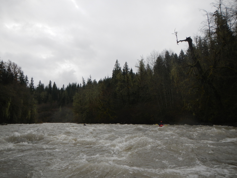
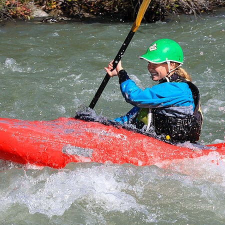
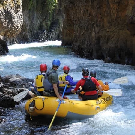
The run has lots of good class II-III whitewater and some fun play spots here and there. If you're looking for an endless supply of big wave trains check this run out after a healthy winter rain or after several days of hot weather just after peak flows on the Sauk have passed. Two distinct class III rapids of note include Coyote Crossing followed by Hurricane. Coyote Crossing is one of the most scenic sections of the run where tall trees tower above the river on both banks. Hurricane is the longest rapid on the run.
The run ends as the Suiattle joins the Sauk River and it's a five minute float from the confluence down to the take-out just below the Highway 530 Bridge on river left.
While most enjoy this run as a day trip (approximately 2 hours on high flows or 4 hours on lower flows), you could also add a portion of the run upstream of this one to your trip and even do it as an overnight. If you do camp on the river please follow good leave-no-trace practices and keep it clean for the next group.
Logistics:
Follow Highway 530 about 15 minutes north out of Darrington to the bridge across the Sauk River at Highway 530 mile 56.1. The take-out is on the Sauk River on the downstream river left side of this bridge.
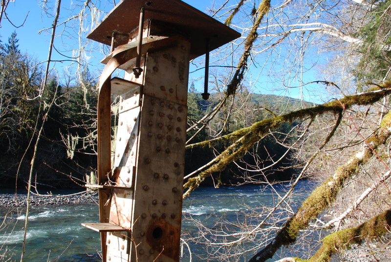
To reach the put-in head east across the bridge and at Highway 530 mile 56.5 and within sight of the bridge take the turn-off for Suiattle River Road (FR 26). Continue on this road to mile 10.0 and turn on to FR 25 which dips down to the river at bridge crossing. This is the Boundary Bridge (aka Rat Trap Bridge) which is the put-in for the run. The Forest Service has an easement that extends 33' on either side from the centerline from the bridge. Despite the no trespassing signs you may see on the trees, you can access the river on the upstream river right side of the bridge and still be well within this public easement. Parking is very limited here however and the parcels immeidately upstream and downstream of the bridge are private property. For the most recent road and river information check the Mt. Baker Snoqualmie National Forest web site (check forest road conditions for Darrington District), or call the Darrington Ranger District at (360) 436-1155 .
Rapids in this Run (5)
Difficulty
Class II-III
Length
12.9 mi
Gradient
30 ft/mi
Rapids
5
Access Points
Difficulty Classes
I Easy
II Novice
III Intermediate
IV Advanced
V Expert/Extreme
VI Unrunnable
Current Conditions
5-Day Forecast
Whitewater data from
American Whitewater
American Whitewater