2. Rockport to Glen Onoko
Linked via: Proximity 89% confidence Synced 6mo ago
Gauge Conditions
Runnable: ? – ? CFS
Approximate reading: This gauge is 9.8 miles away on Lehigh. Use as a general reference only.
Data from American Whitewater & USGS
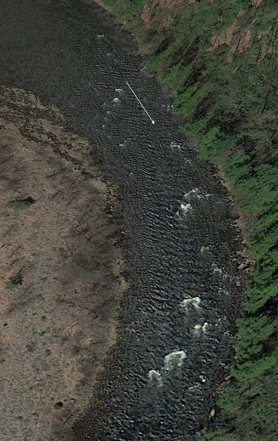
Run Map
Description
(Check recent gage adjustments described in 'Gage Description' under 'Flow' link.)
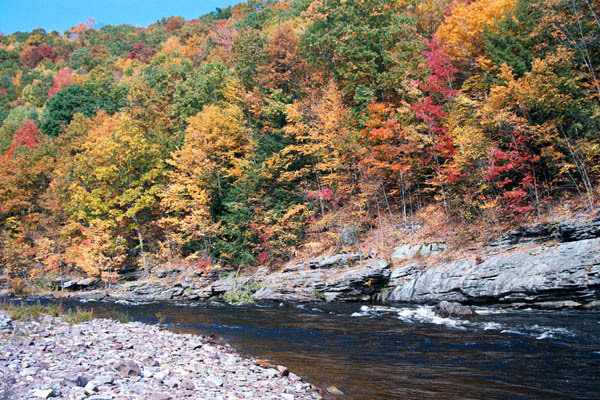
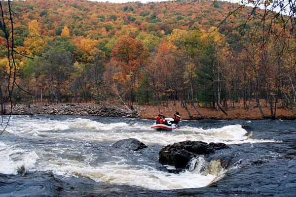
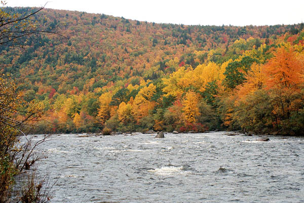
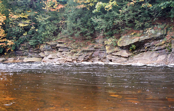
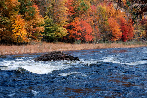
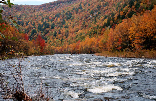
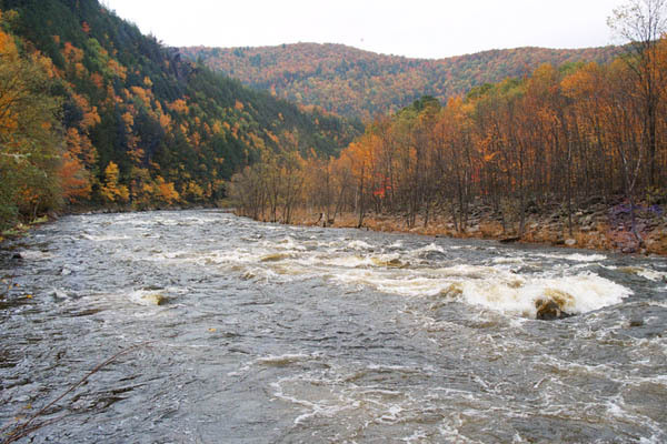
Longer and more scenic than the upper section, it has more challenging rapids, but more flat water.
Related web sites: ab257's Lehigh Page Lehigh River Water Trail
The weekend releases are posted Wednesdays and finalized Fridays at:
Army Corps and reservoir levels can be found at: Francis Walter Dam
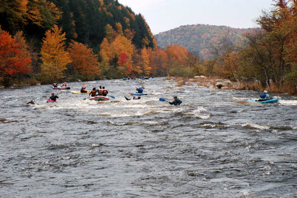
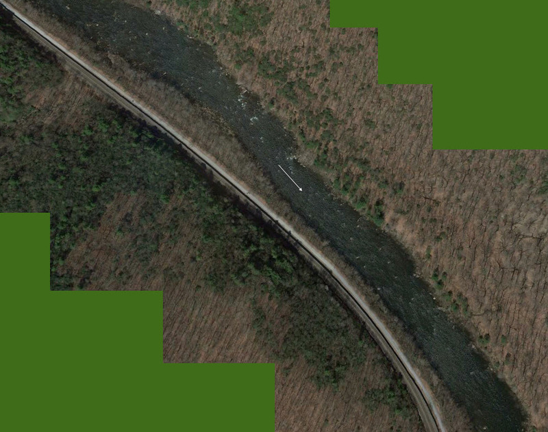
This section is a 13 mile run from Rockport to Glen Onoko, both PA State Park river accesses. (The town of Jim Thorpe has a river access another 2.7 miles downstream from the Glen Onoko access, which would provide another 2.7 miles of mostly flatwater/moving water -- nothing more than mild Class II).
A bike trail follows the river along an old railroad bed from White Haven to Glen Onoko as part of the state park, with bike rentals available locally. The river is administered by the PA Dept of Conservation and Natural Resources. There is a steep trail starting at the parking area at Glen Onoko that goes up to the top of a multi level water fall. The park administers access to the river as well as the bike trail. The eastern shore of the upper section borders Hickory Run state park, with some hiking trails down to the river. The whole White Haven to Thorpe area has a long history of coal mining and tourism. Water levels are dependent on the releases from the Francis Walters dam, operated by the Army Corps of Engineers, planned weekend releases are usually announced on Wednesday and updated on Friday.
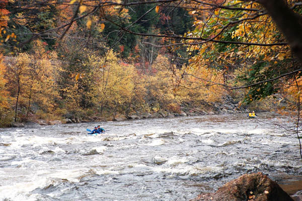
There is usually enough water for regular releases in the spring, thru the end of May. The Army Corps has modified the access road to the dam to allow the level to be raised during the spring, storing water for summer releases. The release is usually shut off at 1pm on Saturday and Sunday, but the Dam is well upstream from the Gorge so it's not an issue. These releases are sometimes canceled due to prolonged dry spells.
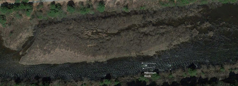
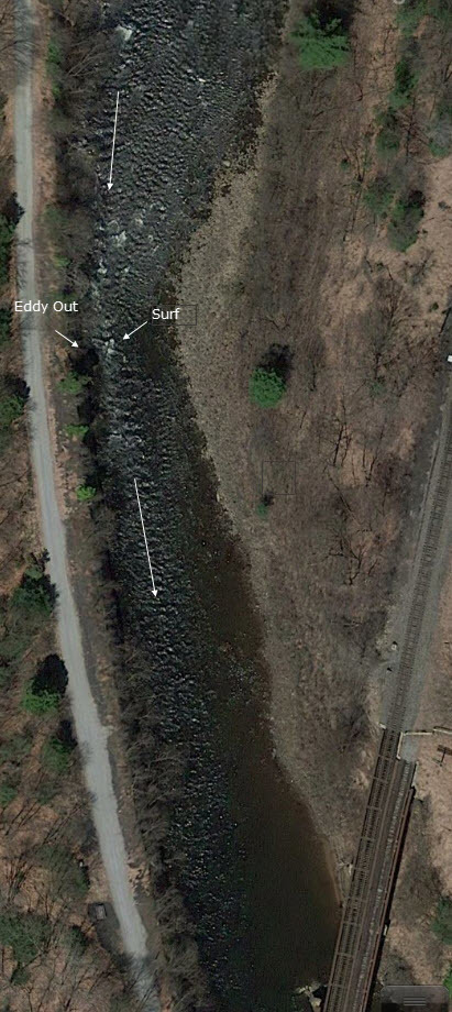
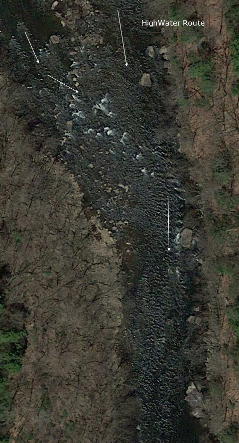
An AWA trip report contains screen shots of satellite photos of each rapid with brief comments, located here.
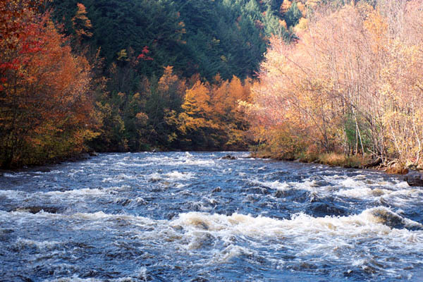
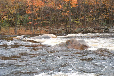
At normal release levels this is really class II. However, as flows increase, especially much above 3000 cfs when water begins to flow thru the trees on the bank, swims become longer and coupled with big waves and holes the Lehigh moves into class III territory.
Rapids in this Run (11)
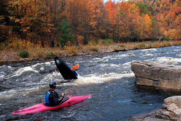
Playspots (7)
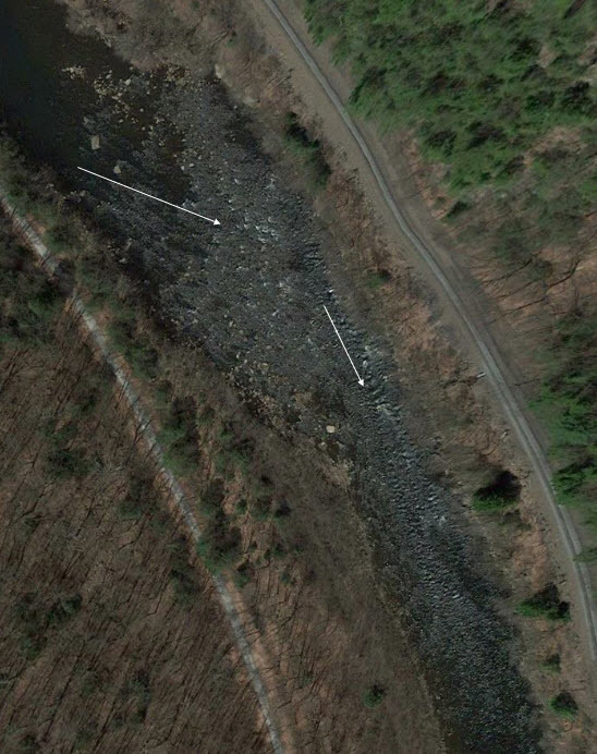
Hazards & Portages (1)
Caution: The following locations may require scouting or portaging. Always check current conditions.
Difficulty
Class II-III
Length
13.1 mi
Gradient
30 ft/mi
Rapids
11
1 Portage
Access Points
Difficulty Classes
I Easy
II Novice
III Intermediate
IV Advanced
V Expert/Extreme
VI Unrunnable
Current Conditions
5-Day Forecast
Whitewater data from
American Whitewater
American Whitewater