2- Timber Bluff Road off US Route 76 to Chattooga River
Linked via: Proximity 99% confidence Synced 6mo ago
Gauge Conditions
Runnable: 2.0 – 10.0 FT
Data from American Whitewater & USGS
Run Map
Description
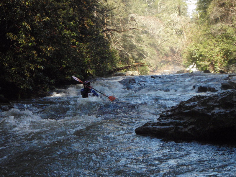
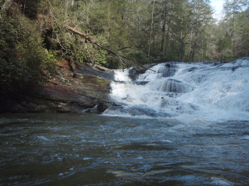
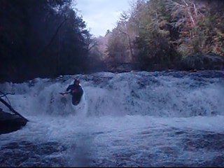
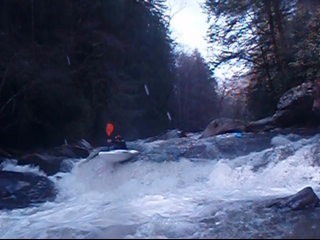
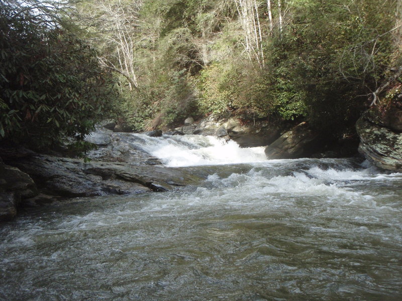
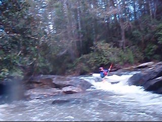
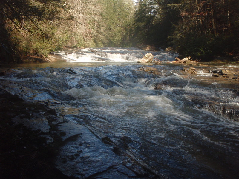
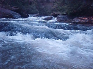
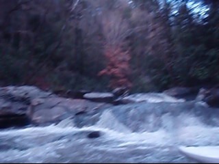
The water quality for Stekoa Creek is very poor. Clayton's sewage system is not very good, and it is on Stekoa Creek as it flows through town. It is also very dirty water from all the road and parking lot run-off from the town of Clayton. I have paddled both the upper and lower sections and the water seems to be a little cleaner in the lower parts but probably because there are a few larger tributaries that help dilute the nasty water that comes from Clayton. This being said this is a beautiful run and it is very sad that such a beautiful creek is being destroyed by the poor sewer system of Clayton. When putting on at Timber Bluff road the creek is pretty flat to start off. There are a few class 1 and 2 shoals along with 2 logs jams that had to be portaged the last time I ran it (Jan. 2, 2008). It then goes through some fields and a pretty large creek comes in on the right while the river has been flat. It is about to pick up after this so be on the lookout. You then go through a little gorge that has like 4 or 5 rapids with three that could give some trouble. The first has a bad undercut on the rive right side where a lot of the water is pushed, right below this is about a 6-8 foot slide that had a log in it. We were able to get around the log but had to stay as far left as possible. The next rapid drops about 8 foot, and can be ran as a double drop down the left center heading left then back to center or possibly boofing on the far right side into small and kind of shallow landing, we ran the left side. The river then mellows to class 2 for a ways and passes under Wolf Creek Road Bridge. It then stays by the road for about half a mile or so before heading around a sharp left bend in the river.
This is the other option to put in at, and is where I have put on mostly because the few rapids that are up stream are not really worth the flat water and log jams, plus there are plenty of bigger rapids down the river. The river takes a sharp bend to left and then immediately bends back to the right with a big rapid. This rapid probably drops about 10-15 feet. The river right side is a rapid that has potholes and is like a slide. The river left side is a more vertical drop but does not have a great landing. There is a good trail to scout this rapid on the river right side. At low to medium level say from 1.0 to 2.0 feet on the wolf creek bridge I would say the river right line would be the best. I have only ran this section 2 times and the level was 1.0 and we ran the right line with no problem, but I have looked at this rapid at other levels and when it gets over 3 feet it starts looking very hard, and has a big corkscrew type wave in it. When it is this high the left line could defently be an option.
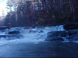
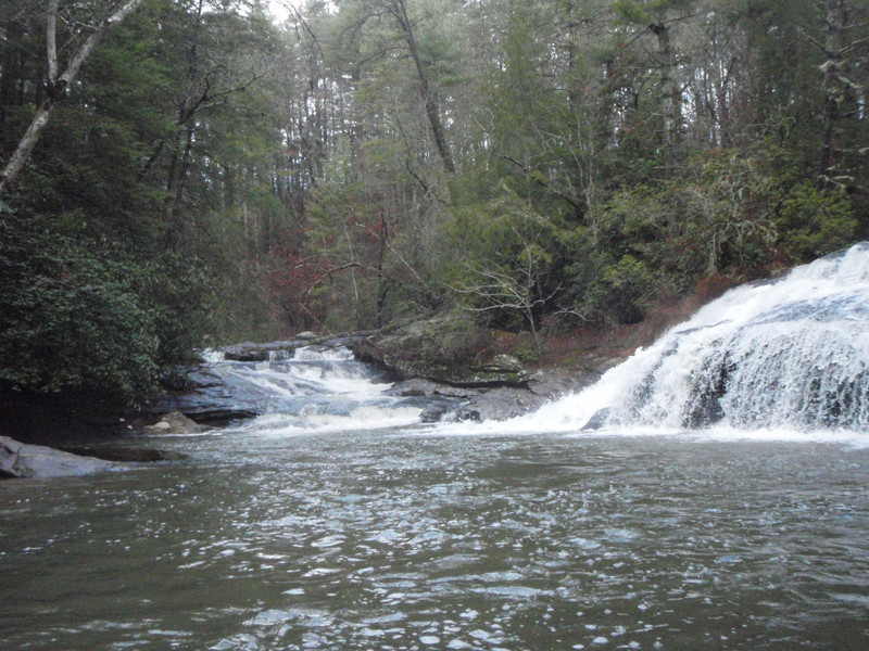
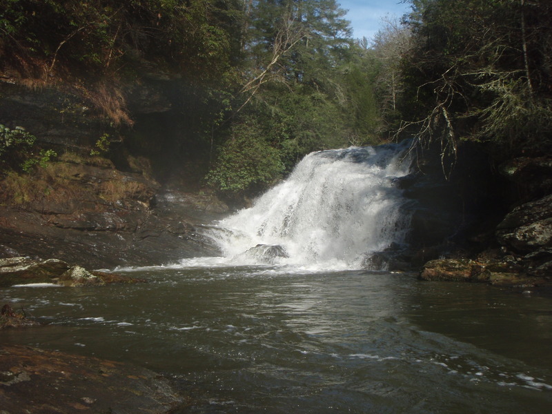
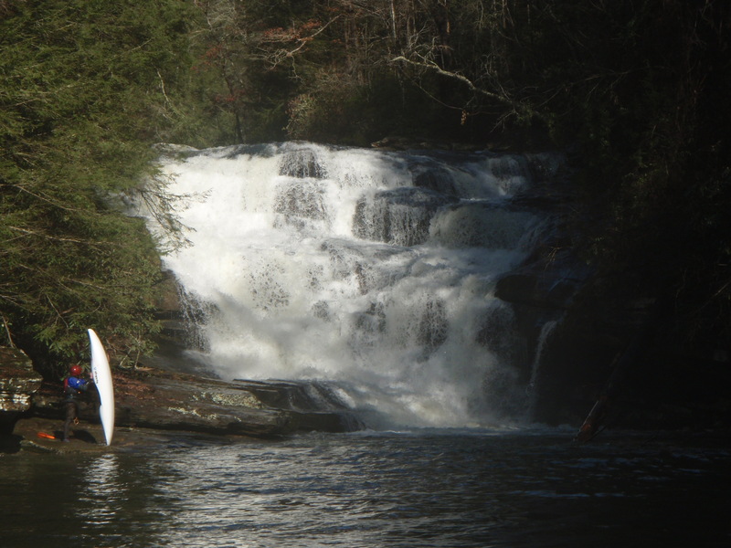
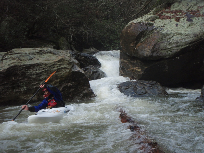
I have tried to put some descriptions of the major rapids on here, but it is a long run and I cannot explain all the rapids and dangers. This creek is very bad undercut and sieved out below the Really Big Slide Rapid. In the lower mile before it empties into the Chattooga it is very steep and pretty much every rapid has a sieve, undercut, or strainer in it so be very careful in the lower section. There are also 2 very big waterfalls that need to be portaged as they both land on rocks. Don't let them sneak up on you, as they both come after a stretch of flatwater with some entrance ledges that are runnable as long as you can eddy out before the lip.
Gradient: Mapping this out on Google Earth here is the Gradient I got for feet per mile-by-mile starting at Timber Bluff Road Bridge. 30, 55, 35, 75, 10, 80, and 200 feet in the last .60 miles before it drops into the Chattooga. I did this by using the path ruler on Google Earth and looking at the elevation by the mile. This is probably pretty accurate, but the next time I go down I will try to take a GPS to make sure.
Shuttle Details
The logical and easiest shuttle for this run is to put on at either Timber Bluff Road off of 76, or at the pull off of East Wolf Creek Road where the river leaves the road, (putting on at the pulloff on East Wolf Creek Road cuts out the first two mile of the run). The take out that is the easiest to access if coming from Atlanta or Clayton would be to take out at Camp Creek which is about 2 miles down the Chattooga from where Stekoa Creek flows in and is above the Five Falls. The other Shuttle option is to use the standard Chattooga take-out for section four which includes the infamous 2 mile lake paddle to the Tugaloo Lake Boat Ramp. The Camp Creek take-out is a parking lot on river right about two thirds of a mile off the river. The trail is similar in length and steepness to the trail at Woodall Shoals. Using this option knocks off about 30 miles of shuttle.
See also the Class-V Upper Stekoa.
Also if anyone has any information on the names of the rapids post them in the comment section and I will change them. I made them up from my 2 runs that I have done.
Rapids in this Run (2)
Waterfalls (9)
Hazards & Portages (9)
Caution: The following locations may require scouting or portaging. Always check current conditions.
Difficulty
Class II-V(V+)
Length
8.0 mi
Gradient
75 ft/mi
max 250
Rapids
2
9 Hazards
Access Points
Shuttle Info
The logical and easiest shuttle for this run is to put on at either Timber Bluff Road off of 76, or at the pull off of East Wolf Creek Road where the river leaves the road. The take out that is the easiest to access if coming from Atlanta or Clayton would be to take out at Camp Creek which is about 2 miles down the Chattooga from where Stekoa Creek flows in and is above the Five Falls. The other Shuttle option is to use the standard Chattooga take-out for section four which includes the infamous 2 mile lake paddle to the Tugaloo Lake Boat Ramp. The Camp Creek take-out is a parking lot on river right about two thirds of a mile off the river. The trail is similar in length and steepness to the trail at Woodall Shoals. Using this option knocks off about 30 miles of shuttle.
Difficulty Classes
I Easy
II Novice
III Intermediate
IV Advanced
V Expert/Extreme
VI Unrunnable
Current Conditions
5-Day Forecast
Whitewater data from
American Whitewater
American Whitewater