3. Along Hwy 215 (Upper)
Linked via: Proximity 97% confidence Synced 6mo ago
Gauge Conditions
Runnable: 250.0 – 1,000.0 CFS
Data from American Whitewater & USGS
Run Map
Description
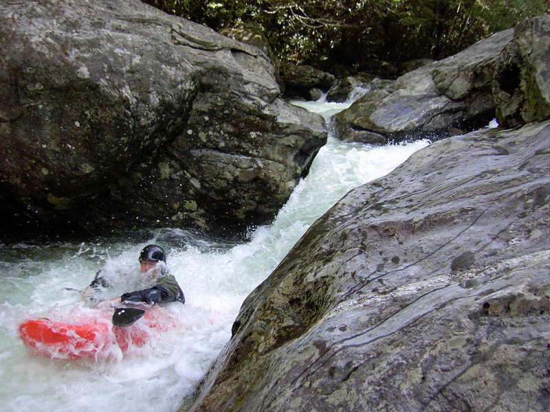
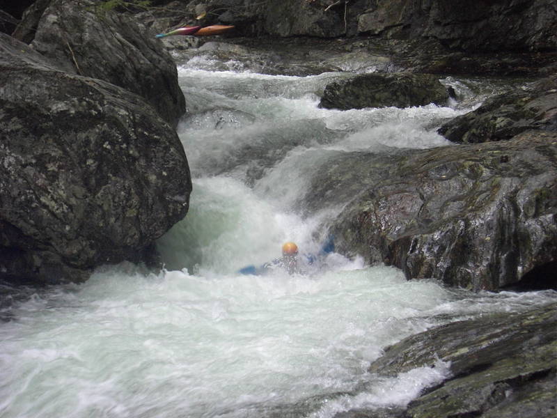
The West Fork of the Pigeon offers several miles of steep class IV and V creeking with clear tanic water and a mix of great boulder and bedrock rapids. A significant step down in difficulty from the Big East Fork, but the West Fork still offers some big complex rapids, all of which can be reasonably portaged.
The first mile or so is class IV-V rock bouncing depending on flow. The river picks up a cleaner class IV-V character below Detention Center and continues with that character until the last mile where it turns into class III boogie. One rapid is typically portaged. This is a good one to follow a local down!
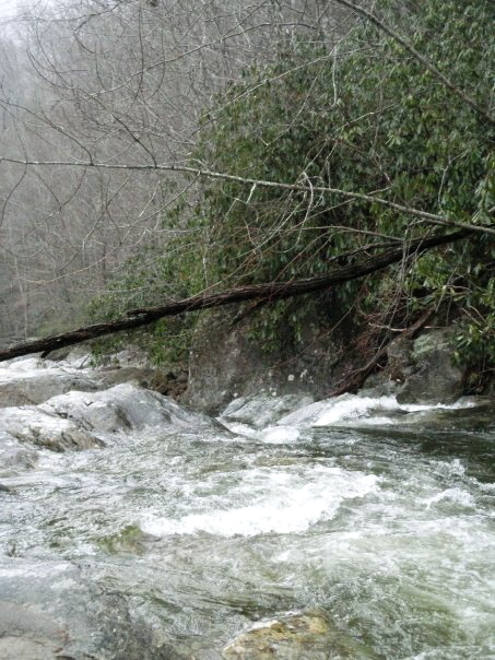
The put in is a nondescript pull-out along 215 a ways downstream of the Gargen of the Gods bridge (where 215 crosses the West Fork with the upstream view of a waterfall), and requires a short hike down into the gorge. The takeout is roadside at the confluence with the Middle Fork.
Chris Bell's Asheville Area Boating Beta Page probably has the best info on the run. See also Leland Davis's NC Rivers and Creeks. Here is a video of most of the run:
West Fork Pigeon from American Whitewater on Vimeo.
Rapids in this Run (2)
Hazards & Portages (1)
Caution: The following locations may require scouting or portaging. Always check current conditions.
Difficulty
Class IV-V(V+)
Length
3.8 mi
Gradient
200 ft/mi
Rapids
2
1 Hazard
Access Points
Shuttle Info
Putin- .3 miles below the Garden of the Gods bridge on 215.
Takeout- drive till you reach the confluence of Middle Prong and the West Fork.
Difficulty Classes
I Easy
II Novice
III Intermediate
IV Advanced
V Expert/Extreme
VI Unrunnable
Current Conditions
5-Day Forecast
Whitewater data from
American Whitewater
American Whitewater