3 - Darrington to Skagit River
Linked via: Proximity 99% confidence Synced 6mo ago
Gauge Conditions
Runnable: 4,000.0 – 30,000.0 CFS
Too low for larger rafts, but ok for kayaks and small rafts that can maneuver through exposed rocks.
Data from American Whitewater & USGS
Run Map
Run Time Estimate
Select put-in and take-out to estimate time.
Unlock Advanced Trip Planning
See wind-adjusted speed maps, forecast planning, and detailed time estimates.
Sign in to generate an AI timing estimate for this run.
Whitewater timing varies with scouting, portages, and group pace. Use as a planning baseline.
Description
This is a great scenic trip and on a clear day you will be treated to great views of Whitehorse Mountain and some glimpses of Mt. Baker. Log jams can be a significant hazard for beginning boaters particularly in the first part of the run so approach with caution.
The run is generally class I and II through a braided channels with rapids that are formed by numerous gravel bars.
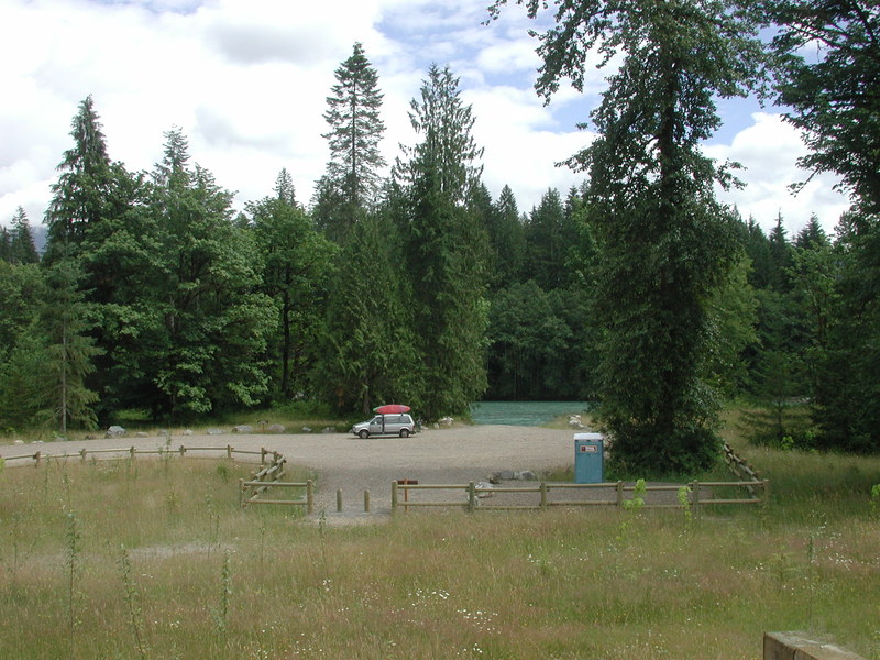
The standard run is from Darrington down to Government Bridge but a good intermediate access point is available at the Highway 530 bridge across the river at the Lower Sauk Boat Launch. For a longer run, you can continue on down to the Skagit River at take out at Faber Ferry (either river left or river right).
Difficulty
Class II
Length
20.0 mi
Gradient
13 ft/mi
Rapids
4
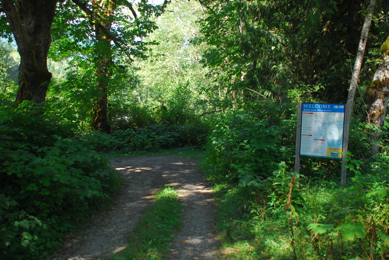
Access Points
Difficulty Classes
I Easy
II Novice
III Intermediate
IV Advanced
V Expert/Extreme
VI Unrunnable
Current Conditions
5-Day Forecast
Whitewater data from
American Whitewater
American Whitewater