3) Ed Banks Road to Highway 278/4 (6.25 miles) Scenic
Linked via: Proximity 99% confidence Synced 6mo ago
Gauge Conditions
Runnable: 3.0 – 6.0 FT
Data from American Whitewater & USGS
Run Map
Put-in
Take-out
Rapids/Hazards
Scenic
Recreational
Run Time Estimate
Select put-in and take-out to estimate time.
Unlock Advanced Trip Planning
See wind-adjusted speed maps, forecast planning, and detailed time estimates.
Sign in to generate an AI timing estimate for this run.
Whitewater timing varies with scouting, portages, and group pace. Use as a planning baseline.
Description
Put-in: To reach the Falls, Sandbar bridge and Ed Banks access points, go East from the takeout and turn left on either the first road (high water route) or second road (main route). Both roads are rough dirt/gravel and have signs directing to the Falls and access points. The first road is longer but is located between the Hwy 278 bridges over the Cossatot and Baker Creek. The second road is East of the Hwy 278 bridge and crosses the normal low-water take-out bridge for Baker creek. Normally passable when the Cossatot is below 6 feet.
Alternate access to the Falls and access points can be reached from these roads where they connect with Hwy 246 (East side of River).
Take-out: Reached by taking the access road on the West side of the Hwy 278 bridge over the River. Located about 9 miles East of Hwy 278/Hwy 71 intersection in Wickes.
Those who don't wish to paddle the falls, can opt for the 2 mile class III run from Ed Banks access to the Sandbar Bridge or the Falls access points. The Falls access can be used as a park and play area, as the carry back up the falls is not too bad.
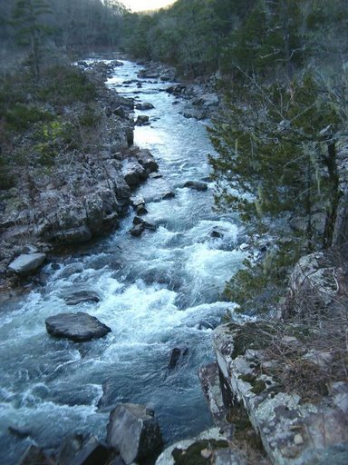
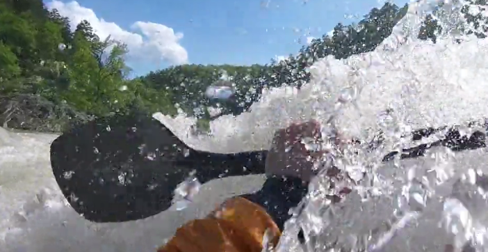
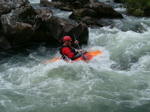
Main rapids are The Esses, The Falls, Deer Camp Rapid, Devil's Hollow Rapid and Devil Hollow Falls. Several other class II-III ledge type drops are scattered throughout the run with small pools in-between.
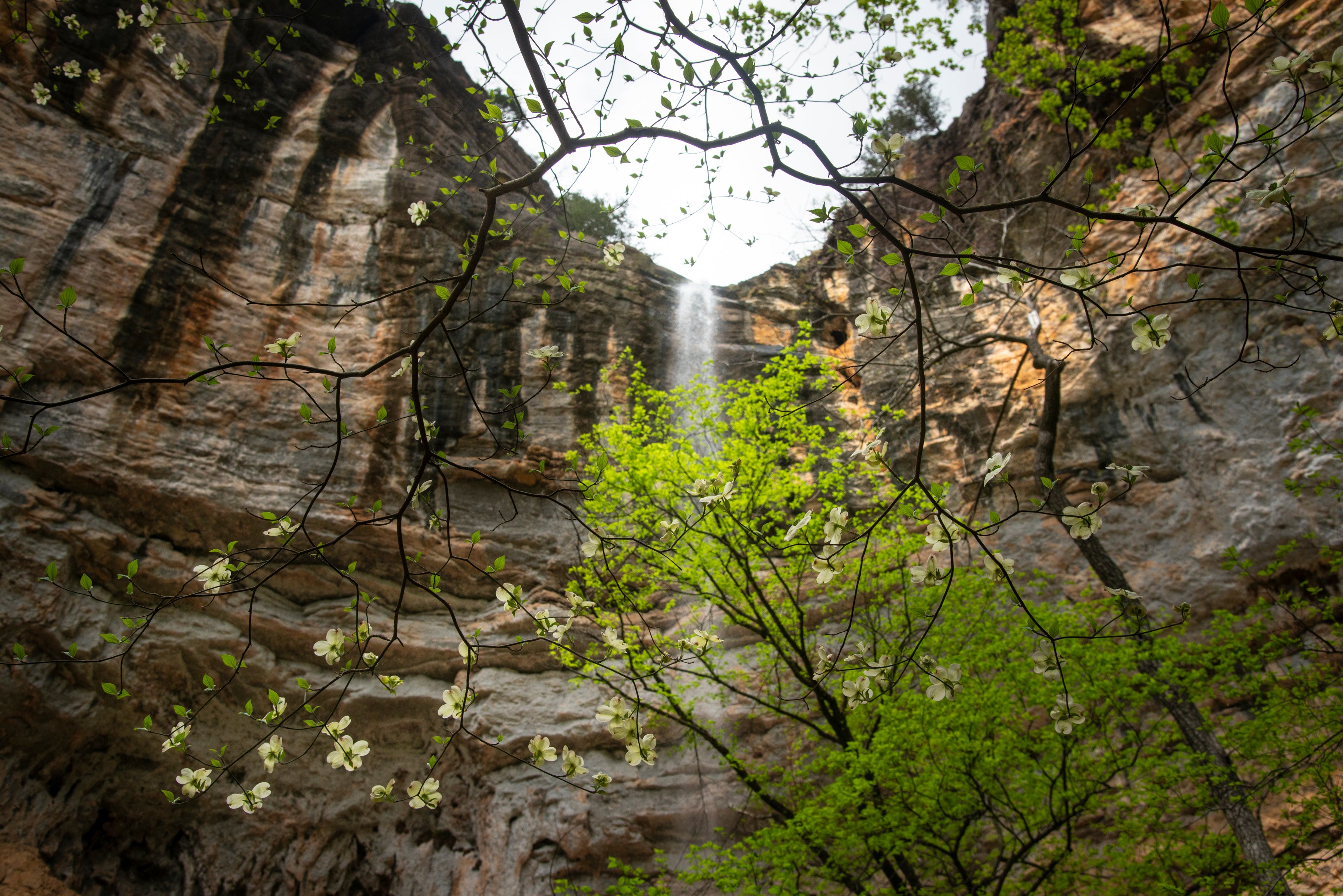
There are nice but small campgrounds at the Falls and at Hwy 278. Both campgrounds offer nice tent sites and tables, the Falls has a restroom and campsite fees. Hwy 278 currently only has a portajohn and no fees. Primitive free camping is available near Ed Banks Bridge and Sandbar Bridge above the Falls.
Gradient by mile: 25, 25, 45, 15, 30, 5. The Falls area drops 30+ feet in about 0.25 miles.
More info at the Cossatot River State Park - Natural Area site.
Rapids in this Run (2)
Waterfalls (2)
Playspots (3)
Hazards & Portages (3)
Caution: The following locations may require scouting or portaging. Always check current conditions.
Difficulty
Class II-IV
Length
6.4 mi
Gradient
20 ft/mi
max 45
Rapids
2
3 Hazards
Access Points
Difficulty Classes
I Easy
II Novice
III Intermediate
IV Advanced
V Expert/Extreme
VI Unrunnable
Current Conditions
5-Day Forecast
Whitewater data from
American Whitewater
American Whitewater