3. Highway 64 to Jordan Reservoir
Linked via: Proximity 71% confidence Synced 6mo ago
Gauge Conditions
Runnable: 1,001.0 – 12,000.0 CFS
Data from American Whitewater & USGS
Run Map
Description
Logistics: From Highway 64 MP 387 (the river right side of bridge across the Haw
River) turn south on Foxfire Terrace. Take an immediate left on River Access Road and follow it 0.3
miles to the boat landing downstream of the highway bridge. To reach the take-out head back out
to Foxfire Terrace and continue south 0.5 miles and turn left on Dee Ferrell Road. Follow this 0.7
miles and turn left on Hanks Chapel Road. Take this 1.0 mile and then turn left on a gravel road
which takes you 0.8 miles to the US Army Corps of Engineers Robeson Creek access on Jordan
Reservoir. Paddlers have reported vehicle break ins at the public access sites.
Description:
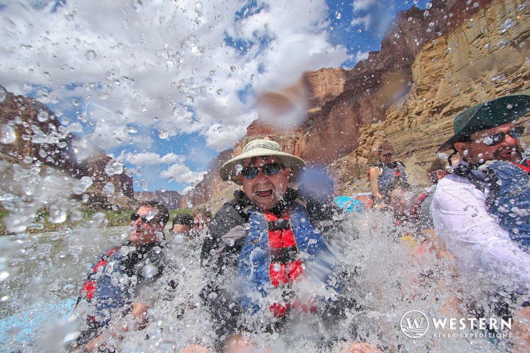
This section of the Haw is the most popular run in the Raleigh/Durham area of the
Piedmont, where a geological phenomenon called the “fall line” has created rapids in
a dozen or so local creeks and rivers. It’s a short class II/III run with some good playspots
that paddlers know as the Lower Haw. The run is enjoyed by those who want to get their evening
whitewater fix after work and is a great place to meet local paddlers on weekday evenings after a
good storm.
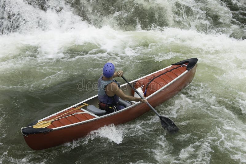
Most of the action takes place in the first half mile or so downstream of the
Highway 64 bridge. You have a lot of river to work with but most of the action is to river right. At
lower flows the width becomes a problem as the flow spreads out among numerous rocky
channels. At higher flows this short little run is a surfers paradise. There are a couple really nice
waves that can provide hours of enjoyment.
The first fun wave is within 200 yards of the put-in in at Lunch Stop rapid which is
along river right. As you continue downstream and move back towards the center of the channel
you’ll find yourself in Ocean Boulevard. Continuing on, the most significant drop on the run
provides some of the best action. Head back over to river right for Gabriel’s Bend, a class III,
which is recognized by a large rock outcrop on river right. Hop in and show your stuff or grab an
eddy and enjoy the show. You can see the flatwater of the reservoir downstream but you still have
one last little bit of whitewater with options to the right, center, or left depending on flows. The
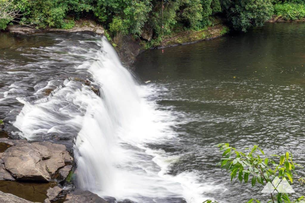
center route through The Maze is always an option and at higher flows you can also check out
Moose Jaw Falls on the right. A final option to the far left is Harold’s Tombstone. Once the
rapids end, you’re on the reservoir. It’s only about a 5-10 minute paddle down to the
Robeson Creek access ramp.
At higher water this section gets considerably more difficult with huge standing
waves and it effectively becomes one continuous section of whitewater. Inexperienced paddlers
have been known to get into trouble on this section. At high flows the river is running through the
trees and numerous islands create a network of passageways with plenty of strainer hazards.
Rescue can be challenging although you will likely be able to collect up gear once you hit the
reservoir.
Sadly, the last half of this run was lost with the construction of Jordan Reservoir in
the 1980’s. Some of the older guidebooks (see Nealy’s) describe the rapids including
one of the best ender spots in the country (remember this was the 80’s) that has since been
buried under water and silt from the reservoir.
_with contributions from: John Fisher, Robert Martin, Tom O’Keefe, and_
_Jim Wei_
Rapids in this Run (3)
Waterfalls (2)
Difficulty
Class II-III
Length
1.2 mi
Rapids
3
Access Points
Difficulty Classes
I Easy
II Novice
III Intermediate
IV Advanced
V Expert/Extreme
VI Unrunnable
Current Conditions
5-Day Forecast
Whitewater data from
American Whitewater
American Whitewater