3. Hwy 395 Bridge to Walker
Linked via: Proximity 4% confidence Synced 6mo ago
Gauge Conditions
Runnable: 300.0 – 2,000.0 CFS
Data from American Whitewater & USGS
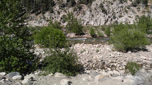
Run Map
Description
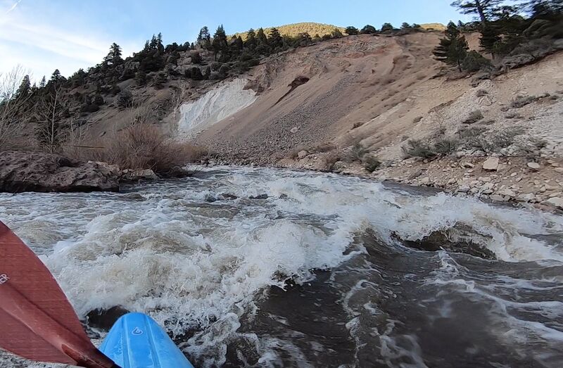
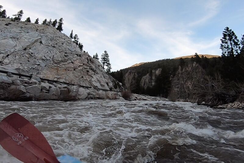
20+ years of erosion and flows have begun to reshape the riverbed, following the devastating 1997 flood. Boulders have fallen to the canyon floor, and sediment has shifted. Rapids and features are once again becoming distinct, boofs exist, and eddies can be found. Every year the river improves a little, and in some ways becomes harder, in some ways cleaner. It's become a super unique run, and is great fun for a quick lap or two! Thumb shuttles are also easy here.
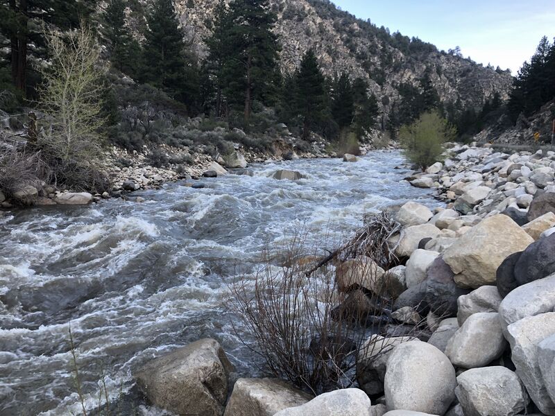
Rapids are starting to become more distinct, though most of the run is still one continuous section with harder/easier bits. After the pool with big tree stumps at mile 1.8, it's "game on" for about 2.5 nonstop miles, followed by more boogie/rapids all the way to Walker. Even the calmer sections will have you constantly paddling to avoid shallow spots/holes and choosing lines. Don't put on if you aren't physically fit enough to actively paddle for 45+ minutes straight! This is not a joke, even physically fit paddlers will be tired by the time they hit the crux, and this run is NOT the place to swim.
500 cfs (minimum): The run is class 4 and quite bumpy. Expect to spend lots of time smashing rocks and avoiding pins. Holes are small but may contain badly placed rocks.
800 - 1200 (optimal): Most of the run is pleasantly engaging class 4, with fun boofs and constant moves. A few badly placed rocks exist, but are mostly covered. The harder section definitely ramps up to 4+ simply because of its continuous nature and many holes which could trip you up. As flows get higher the run quickly gets faster/harder.
1600+ (gnarly): Extremely continuous with big holes, and less rocks. Water at the "tree stump pool" will be ripping downstream about as fast as flatwater can go, and the run will be one nonstop rapid once you peel out of it. The hardest section certainly borders on class V at 1600, and the rest of the run is an absolute riot. Upper limits on flow are unknown, but at 2K+ this thing probably looks and boats similarly to the North Fork Payette.
Highway 395 runs immediately alongside this run, making access/egress/shuttle quite convenient. You can also get a good feeling for most of the rapids from the road, but beware that the hardest sections are not roadside.
When the road climbs above the river (1.9 miles upstream of Mill Flat Picnic Area) its a good idea to pull off and scout the biggest rapid of the run, which is essentially just a long series of fat holes. On the river you will not be able to stop above it and scout, and if it doesn't look good to you -you'll probably want to put in somewhere downstream or wait for lower water levels.
Additional reference (a bit outdated):
Cassady & Calhoun, Holbek & Stanley, Martin
http://www.awetstate.com/WWalkerAW.html
Difficulty
Class III-V
Length
11.9 mi
Gradient
106 ft/mi
Rapids
9
Access Points
Difficulty Classes
I Easy
II Novice
III Intermediate
IV Advanced
V Expert/Extreme
VI Unrunnable
Current Conditions
5-Day Forecast
Whitewater data from
American Whitewater
American Whitewater