3) Pit 2: Pit River Campground to Highway 299
Linked via: Nhdplus discovery 90% confidence Synced 6mo ago
Gauge Conditions
Runnable: 600.0 – 5,000.0 CFS
Data from American Whitewater & USGS
Run Map
Run Time Estimate
Select put-in and take-out to estimate time.
Unlock Advanced Trip Planning
See wind-adjusted speed maps, forecast planning, and detailed time estimates.
Sign in to generate an AI timing estimate for this run.
Whitewater timing varies with scouting, portages, and group pace. Use as a planning baseline.
Description
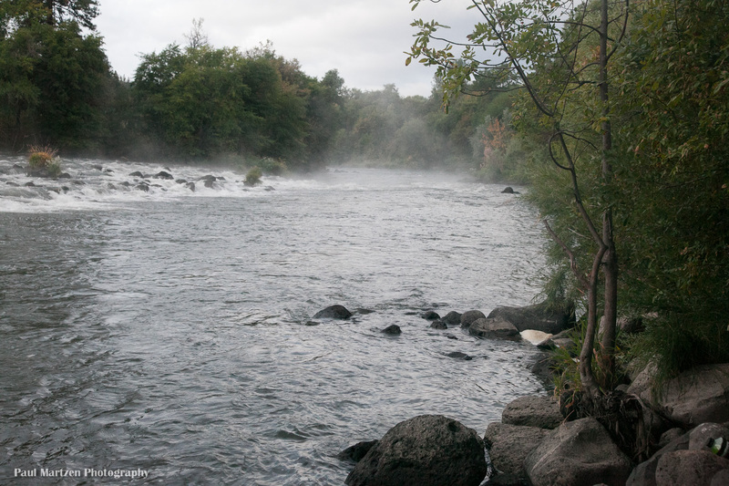
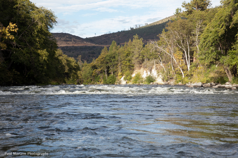
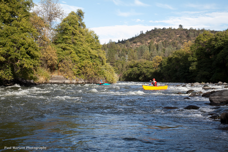
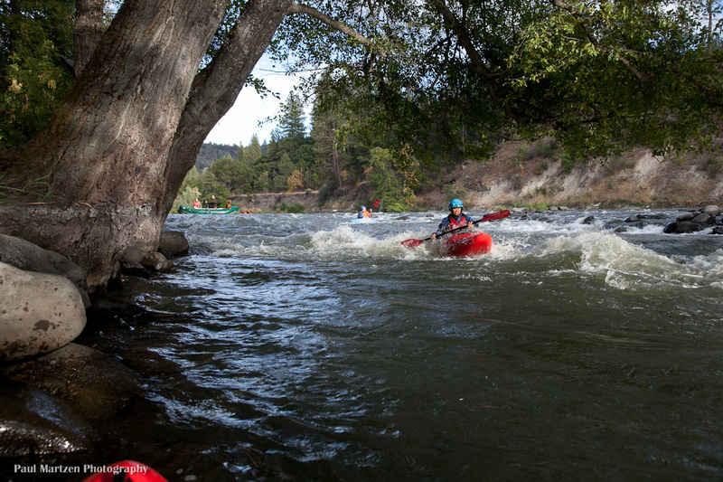
This river section has terrain that is like eastern Oregon desert with a basalt riverbed. Long class 2 rapids are spread evenly through the distance. Pools allow plenty of sight seeing time or fishing without being overly long. The section is suitable for experienced canoists and beginning kayakers with moving water experience. The section is particularly popular with fishermen in rafts or drift boats.
Because flows are returned to the river at the powerhouse you can boat this section most of the year. If you are continuing down on a trip that started up above the powerhouse you will find that the gradient eases but in the final few miles to the take-out, the observant paddler can find several nice surfing waves. This section provides a nice class II run and offers whitewater boating fun for the whole family with some waves and play holes.
Take out:
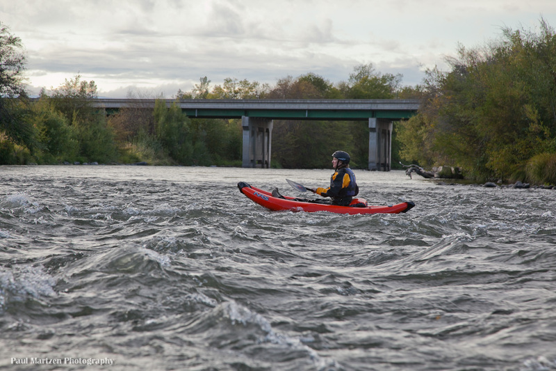
There is a convenient river access and parking on the downstream, east side of the Highway 299 bridge. The turn off is narrow and unmarked. It is about 100 yards past the end of the bridge on the left as you drive east, towards the put in. The gravel road leads away from the main road for 100 yards then turns back to a turn around next to the bridge. The take out ramp is mostly underneath the bridge. The water seems deepest on the downstream side of the bridge (at 800 cfs). Elevation above sea level is about 2764 feet.
Paddlers could also continue down a short ways further into Lake Britton, but there does not appear to be any easy take out access. There are gravel roads providing access to the lake but not anywhere near the river entrance.
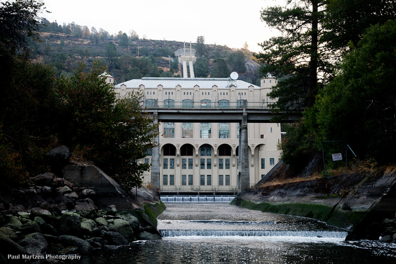
Put in: Continue east on 299E to the turn off for the Pit #1 powerhouse. Drive 1.4 miles down to the Pit River Campground. There is a boat ramp in the day use area that is open from 7 AM to dusk. Elevation is about 2850 feet above sea level.
Camping:
Pit River Campground has 8 regular sites and one group site. Regular sites are $8 per night. The campground host is very helpful. There are 2 pit toilets. There is no water supplied at the campground, so bring plenty. There is a clear spring a few hundred yards downstream at a Lions Club picnic area.
Three Leaf Sumac ( Rhus trilobata) grows thick around the campsites. It has edible berries and the stems are often used for basket making. It looks similar to Poison Oak as they are both in the sumac family. Some Poison-oak does grow in the area so try to see the difference.
Supplies:
There is no shortage of gas stations, groceries, restaurants and such in the area. Fall River Mills has a gas station, large grocery store, several resteraunts, single screen movie theater, auto parts store and other amenities. Nearby Burney has several reasonably priced gas stations, a Safeway market, auto repair shops, etc..
Other Information Sources:
Pit River Alliance
Clearwater Lodge
Difficulty
Class II
Length
2.9 mi
Gradient
28 ft/mi
Rapids
7
Access Points
Difficulty Classes
I Easy
II Novice
III Intermediate
IV Advanced
V Expert/Extreme
VI Unrunnable
Current Conditions
5-Day Forecast
Whitewater data from
American Whitewater
American Whitewater