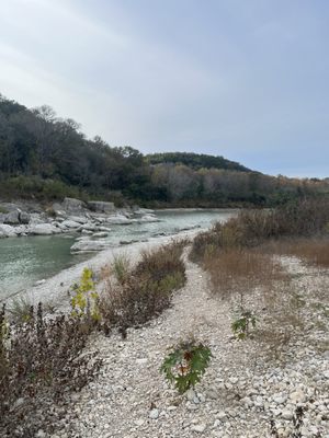
3. RM 12 to Five-Mile Dam (20 miles)
Linked via: Proximity 95% confidence Synced 6mo ago
Gauge Conditions
Runnable: 800.0 – 10,000.0 CFS
Upper limit for best boatability uncertain. Please help your fellow boaters with a comment or report.
Data from American Whitewater & USGS
Run Map
Run Time Estimate
Select put-in and take-out to estimate time.
Unlock Advanced Trip Planning
See wind-adjusted speed maps, forecast planning, and detailed time estimates.
Sign in to generate an AI timing estimate for this run.
Whitewater timing varies with scouting, portages, and group pace. Use as a planning baseline.
Description
Refer to Texas Whitewater for more specific beta. Difficulty rating and recommended flow are taken from the book. Numerous low-water crossings exist along this stretch of river, and some are known to create sieves and/or dangerous hydraulics, so use caution.
The Blanco tends to flash more quickly than most rivers its size, and it can go from moderate to dangerous in less than two hours. Be sure to note if the river is on the way up or on the way down before beginning a run, and pay attention to the upstream gauges as well. Even though it can flash quickly, the Blanco will also hold its flow for a relatively long time, so the best times to paddle it are often in the days following a moderate flood.
Distances and gradient measured using GIS tools in 2015.
WARNING: Memorial Day 2015 Flood
In the early morning hours of Sun May 24, 2015, a historic (beyond 500-year) flood on the Blanco River caused the river to crest to 43 feet (8 feet beyond the previous record, set in 1929, and 28 feet above flood stage), destroying numerous homes and businesses and bridges (including Fischer Store Rd.), toppling numerous trees, and killing a handful of people. The flood was strong enough to scour the river bed down to bedrock, so it is very likely that all rapids along this stretch have changed in character. Current conditions and difficulty are unknown. Please submit a comment or a trip report if you have run the river since the flood occurred.
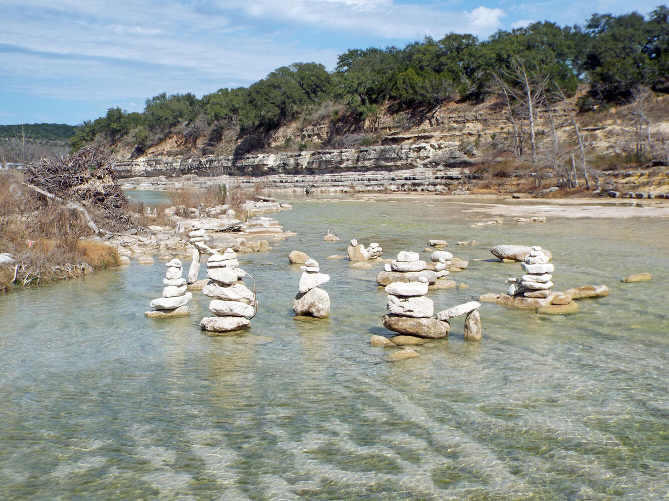
Playspots (1)
Hazards & Portages (2)
Caution: The following locations may require scouting or portaging. Always check current conditions.
Difficulty
Class II-III
Length
20.6 mi
Gradient
10 ft/mi
Rapids
0
2 Hazards
Access Points
Difficulty Classes
I Easy
II Novice
III Intermediate
IV Advanced
V Expert/Extreme
VI Unrunnable
Current Conditions
5-Day Forecast
Whitewater data from
American Whitewater
American Whitewater