3. Route 19 Bridge to confluence with the Gauley River
Linked via: Proximity 95% confidence Synced 6mo ago
Gauge Conditions
Runnable: 420.0 – 1,500.0 CFS
Data from American Whitewater & USGS
Run Map
Description
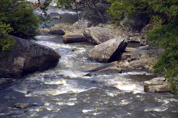
Gradient, mile by mile: 60, 150, 110, 70, and 50 (in the last 0.8 mile).
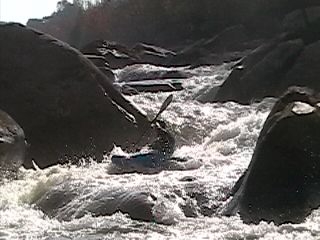
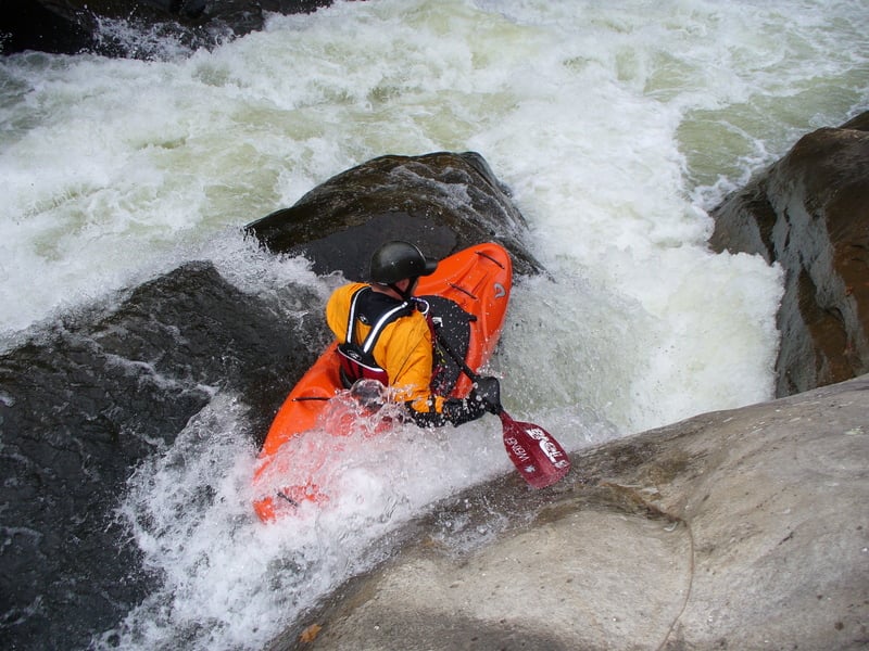
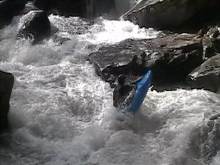
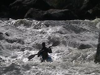
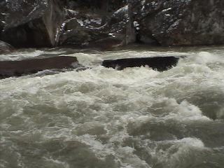
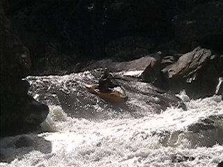
That might not sound too impressive, but the creek is populated by terrible undercuts. Three fatalities, all excellent boaters, are listed in the Accident Database. The Lower Meadow has a scary reputation for a reason!
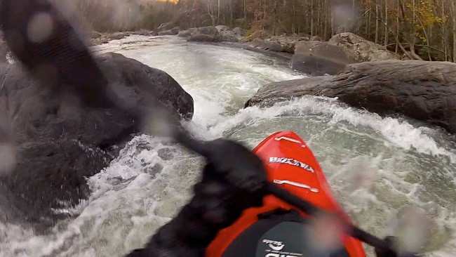
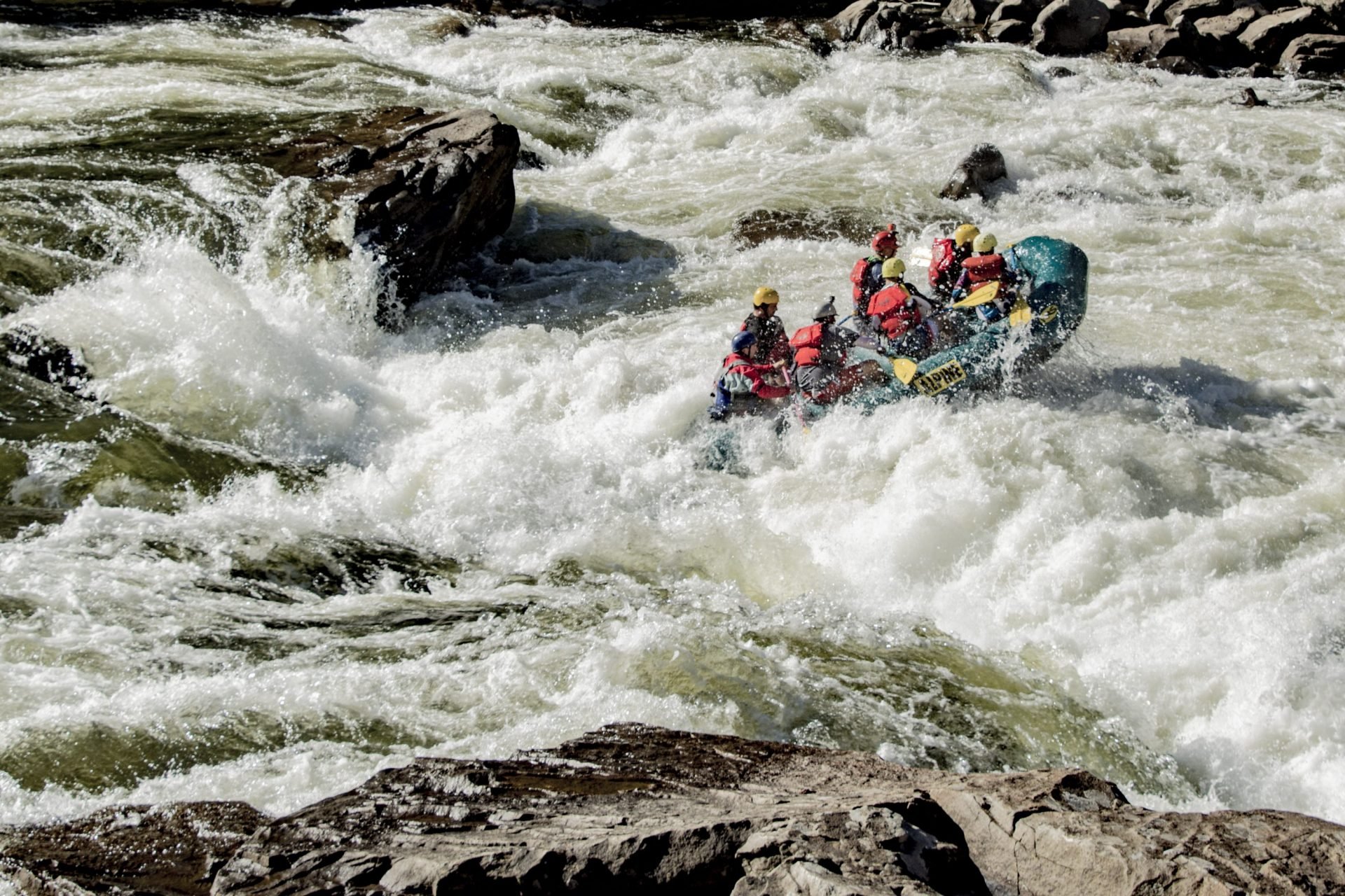
Listed below are some of the major rapids. There is much "boogie" water that ranges in the IV to IV+ range. Do NOT try this run without a guide that has made many, many trips down this river. There is not much room for error.
Directions to th put in: Coming from Fayetteville, go north on rt19 untill you drive over the Meadow River. Right after the bridge there will be a place in the median to bust a u-turn. After making that u-turn park next to gaurd rail on the well worn strip. From Summersville just take rt 19 south and stop and park before going over the Meadow River.
Directions to the takeout: The good thing about paddling the Lower Meadow is that you get the Upper Gauley thrown in at no extra charge. You will end up in the big pool above Lost Paddle. For more information on rapids, great directions and important info, click over the Upper G page here.
Hazards & Portages (10)
Caution: The following locations may require scouting or portaging. Always check current conditions.

Difficulty
Class V
Length
4.6 mi
Gradient
92 ft/mi
max 150
Rapids
0
10 Hazards
Access Points
Difficulty Classes
I Easy
II Novice
III Intermediate
IV Advanced
V Expert/Extreme
VI Unrunnable
Current Conditions
5-Day Forecast
Whitewater data from
American Whitewater
American Whitewater