3. Three Forks to Rome Wild
Linked via: Proximity 96% confidence Synced 6mo ago
Gauge Conditions
Runnable: 1,000.0 – 5,000.0 CFS
Data from American Whitewater & USGS
Run Map
Put-in
Take-out
Rapids/Hazards
Wild
Description
SEASON: The river can be paddled between March and June with best peak flows occurring from late March to early May. In some years the raft season can be as short as 2-3 weeks. This one is best run on the way down rather than on the way up. Heavy rains can make passage on shuttle road problematic and bring flows up to dangerous levels rather quickly. Weather can fluctuate and even dip below freezing, but nighttime lows are generally more mild down in the canyon next to the river.
DESCRIPTION:
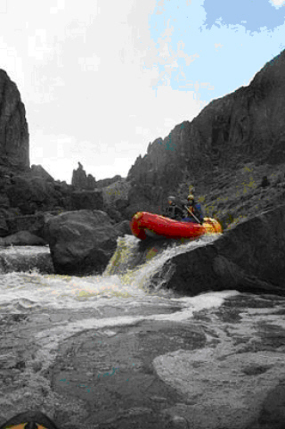
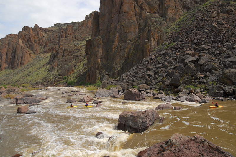
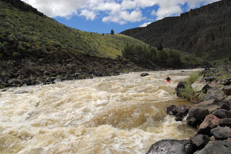
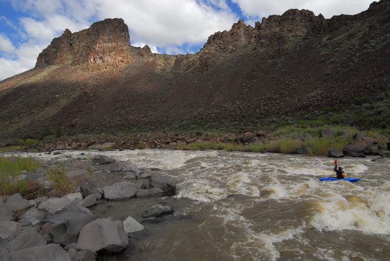
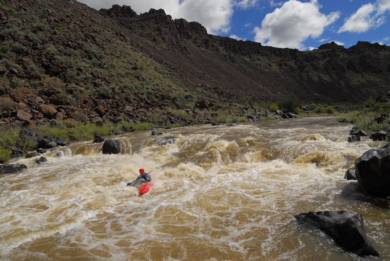
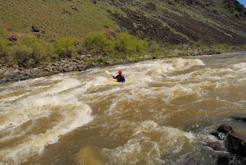
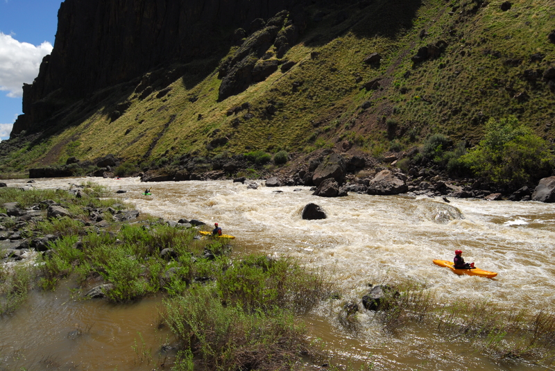
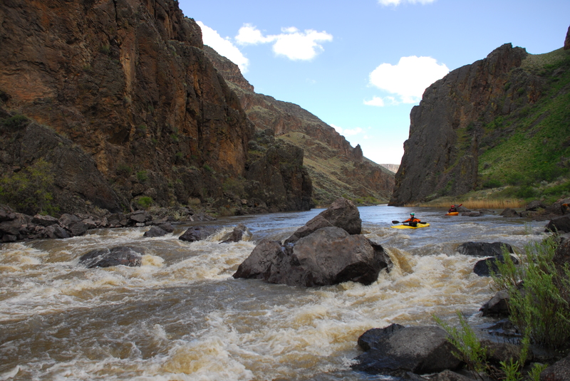
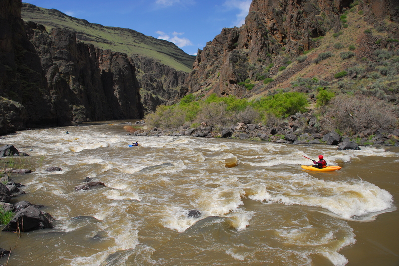
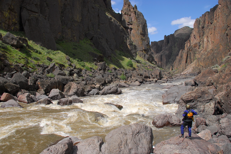
This is a great 2-4 day trip through a remote and incredibly scenic river canyon. The rapids are challenging pool-drop. The most significant rapid on the run is Widowmaker which comes at mile 21. It's a class V and while self-support kayakers can make quick work of the portage, it's no picnic if you have rafts along. It is typically portaged on river right. Depending on flows, rafts can be lined down the right bank, run down the left at higher flows, or de-rigged. Due to the portage, and the challenging boulder gardens at The Ledge and Half Mile, this section is less frequently run than the section below Rome. It's a great self support kayak trip but if you are running rafts you need to be on your game to avoid pinning particularly as flows drop below 2000 cfs. If running rafts, consider smaller more nimble craft. Fully outfitted 14' rafts are occasionally run on this section but it's a bigger commitment and the consequences of a mishap can be severe.
The Vale District of the BLM maintains an Owyhee website with excellent information including a river guide in pdf format, maps, and local contacts for shuttle services. The permit for this trip is a self registration that can be done at the Three Forks or Rome access points. The ranger station at Rome Launch site (the take-out) has been staffed in the past and can be reached at 541-586-2612.
Alternative runs that can be combined with a run on the middle section of the Owyhee include the lower run from Rome to Owyhee Reservoir or the upper run from Crutcher's Crossing to Three Forks.
Check out Steve Stuckmeyer's Owyhee River trip report on the Oregon Kayaking site.
DIRECTIONS: The take out is located in Rome, OR just upstream of the Owyhee River Bridge on Highway 95, river right (east) side. To reach the put in from Rome, return to Highway 95 and drive 17 miles east and turn right (south) onto Lower Soldier Creek Rd (at the Three Forks highway sign). If traveling from the east on Highway 95, drive through Jordan Valley and continue 16 miles to Lower Soldier Creek Road. Follow this dirt road for 35 miles to Three Forks. The final 1.5 miles to the put in is on a steep road with tight switch backs and clearance required. 4WD is required when this road is wet. If it's really wet, the road might be closed.
CAMPING: Camp sites are avaible at both the Rome take out and the Three Forks put in (the camping at Three Forks is more remote dispersed camping without facilities while the Rome Launch has picnic tables, running water, pit toilets, easy access to the Rome Cafe for breakfast or dinner, and a lot more traffic as groups stage for runs on the Lower Owyhee. Camp sites along the river are a less heavily used than those on the lower run and may be less obvious. Bomb Shelter (a cave with a bit of shelter from the weather) and sites on the Soldier Creek delta are good options for the night before running Widowmaker). Soon after passing Sand Hollow (6 miles from the take-out) the canyon walls begin to peel away and camping options become more limited. While on the river, you will be required to carry a portable toilet and fire pan. Check with the BLM for other camping regulations. Side streams are very scarce in the canyon. Carry plenty of water for your trip or plan to purify river water. Water can be obtained from Soldier Creek at mile 18.
Rapids in this Run (9)
Hazards & Portages (1)
Caution: The following locations may require scouting or portaging. Always check current conditions.
Difficulty
Class III-IV(V)
Length
37.8 mi
Gradient
16 ft/mi
Rapids
9
1 Hazard
Access Points
Difficulty Classes
I Easy
II Novice
III Intermediate
IV Advanced
V Expert/Extreme
VI Unrunnable
Permit Required
Self issue permit can be downloaded from BLM website.
Get Permit
Current Conditions
5-Day Forecast
Whitewater data from
American Whitewater
American Whitewater