5. Above Arden to Big Cove Run
Linked via: Proximity 94% confidence Synced 6mo ago
Gauge Conditions
Runnable: 800.0 – 10,000.0 CFS
Data from American Whitewater & USGS
Run Map
Run Time Estimate
Select put-in and take-out to estimate time.
Unlock Advanced Trip Planning
See wind-adjusted speed maps, forecast planning, and detailed time estimates.
Sign in to generate an AI timing estimate for this run.
Whitewater timing varies with scouting, portages, and group pace. Use as a planning baseline.
Description
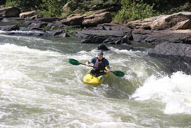
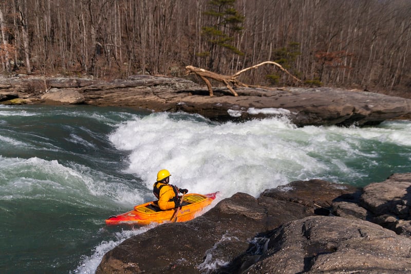
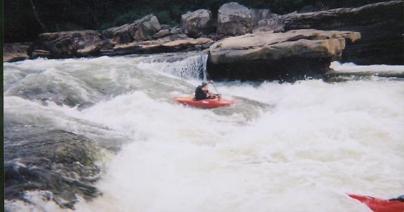
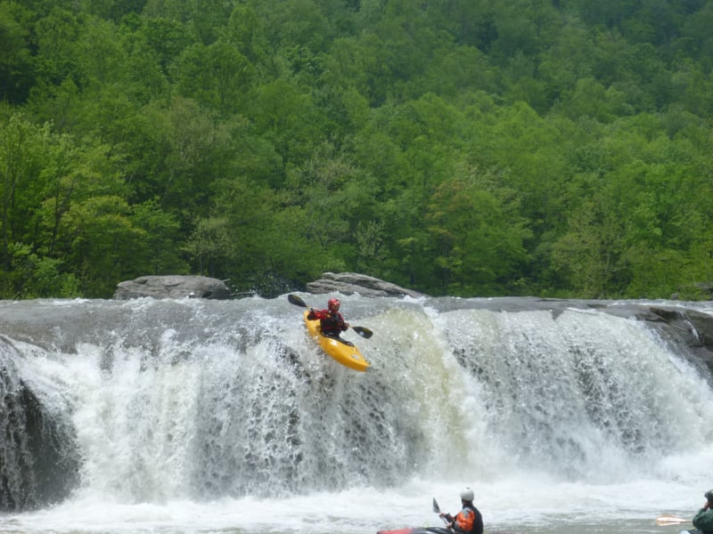
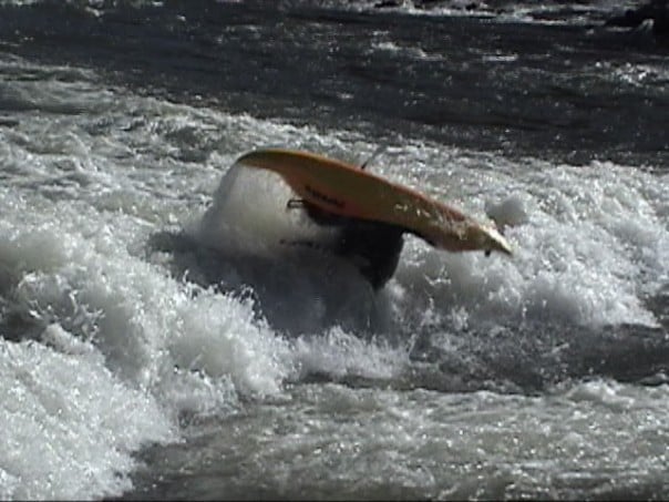
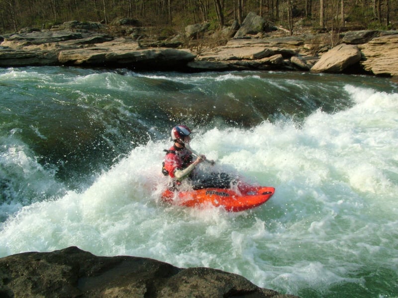
The first 5 miles are roadside with multiple access/egress points, excellent inter to advanced training grounds and play. The lower 3 miles include 1-mile lake paddle out when at summer pool level. At winter pool, rapids extend to the take-out on right at Cove Run (very muddy take-out in wet conditions). Cove Run take-out is reached by driving up Teter Creek to bridge, across bridge and left, cross mountain and left along Cove Run down to a public-access boat ramp. The lower section is isolated with emergency take-out on the trail that runs along river right. Wells Falls can munch the foolish above 6 ft Philippi!!
The rapids descriptions and class ratings are given from the perspective of an advanced but somewhat conservative kayaker with river levels between 1500 cfs and 3000 cfs USGS Philippi.
Rapids in this Run (9)
Waterfalls (1)
Difficulty
Class III-V
Length
6.7 mi
Gradient
35 ft/mi
max 50
Rapids
9
Access Points
Difficulty Classes
I Easy
II Novice
III Intermediate
IV Advanced
V Expert/Extreme
VI Unrunnable
Current Conditions
5-Day Forecast
Whitewater data from
American Whitewater
American Whitewater