5. Smiths Ferry to Banks
Linked via: Proximity 92% confidence Synced 6mo ago
Gauge Conditions
Runnable: 400.0 – 2,800.0 CFS
Data from American Whitewater & USGS
Run Map
Run Time Estimate
Select put-in and take-out to estimate time.
Unlock Advanced Trip Planning
See wind-adjusted speed maps, forecast planning, and detailed time estimates.
Sign in to generate an AI timing estimate for this run.
Whitewater timing varies with scouting, portages, and group pace. Use as a planning baseline.
Description
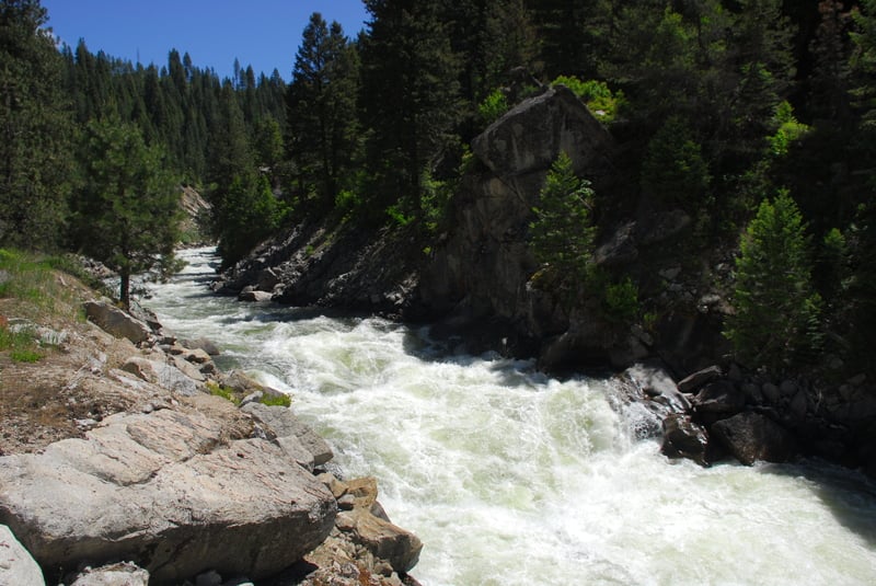
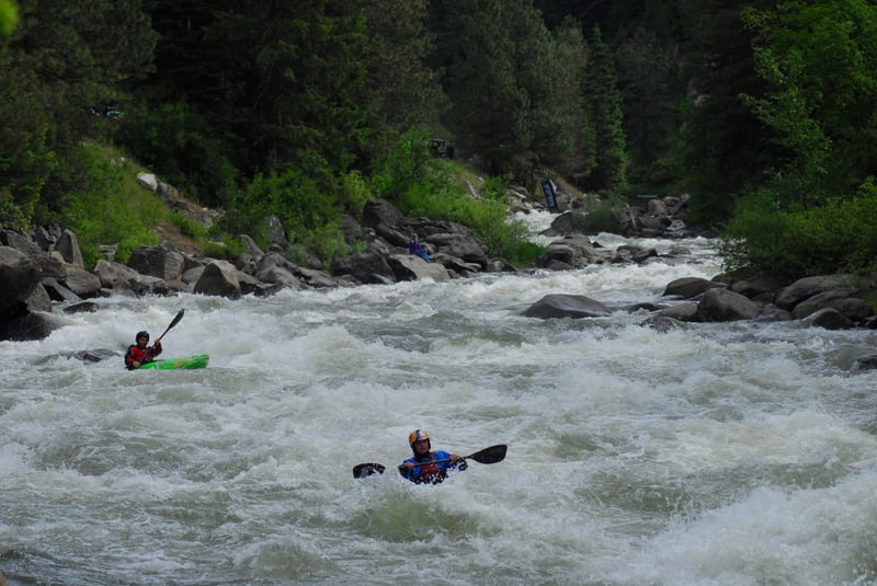
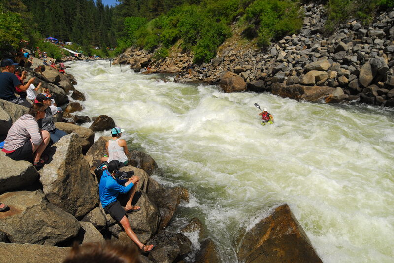
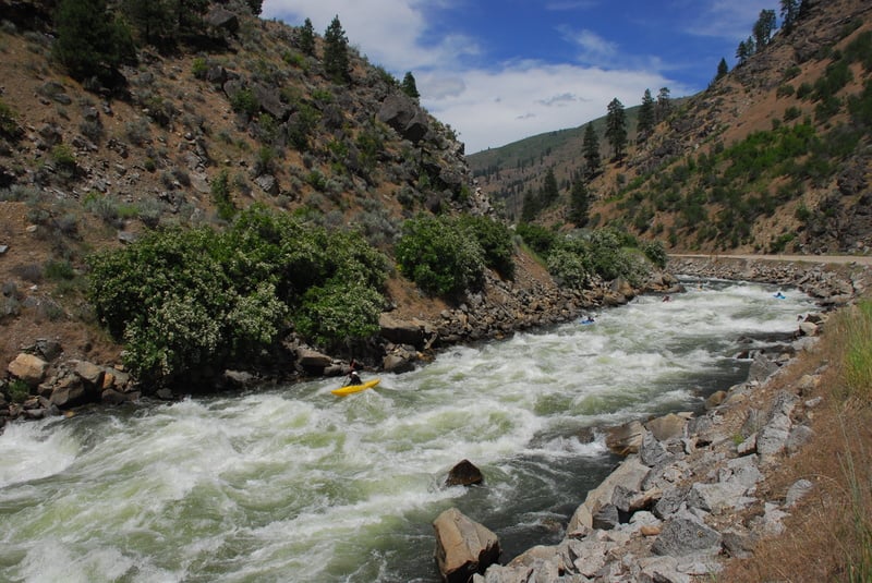
This section of the North Fork of the Payette is the 16 miles above Banks and is considered big-water Class V. For the past several years it has served as the site of the North Fork Championship, regarded by many as the most challenging whitewater competition in the world.
Paddling on the North Fork begin in 1975 when local boaters Roger Hazlewood, Keith Taylor, and Tom Murphy astounded everyone by becoming the first to run the final two and a half miles of the North Fork. In 1977, Idaho’s Rob Lesser, Kentucky’s Bob Walker, Dennis Whitehouse, and Bob Letter, and the “Crunch Bunch” negotiated the entire run for the first time.
Soon after the river was recognized as a unique whitewater resource that challenged the world’s most accomplished paddlers, the hydropower threats emerged. Idaho Power Company sought to dewater the North Fork for hydropower in the late 1970s. When they ceased their efforts in 1986, Boise’s infamous billionaire and potato king J.R. Simplot launched his own effort to dewater the river followed by Gem Irrigation District. In response, Friends of the Payette and then Idaho Rivers United formed to protect the river. The Conservation Alliance issued their first grant for $40,000 to fund this effort that was ultimately successful when Idaho Governor Cecil Andrus signed the first version of the Payette River Plan in 1991; this plan protected the Payette River system from new dams and hydropower development by establishing the river as a state “protected river.” The ultimate outcome exceeded the expectations of Rob Lesser and Pete Skinner who penned an article for a 1979 issue of the American Whitewater Journal hoping we could secure two weekend releases a month as mitigation for a hydropower development that seemed all but certain to dewater the river. Today the river flows throughout the year and attracts paddlers from around the world who come to enjoy a true class V classic.
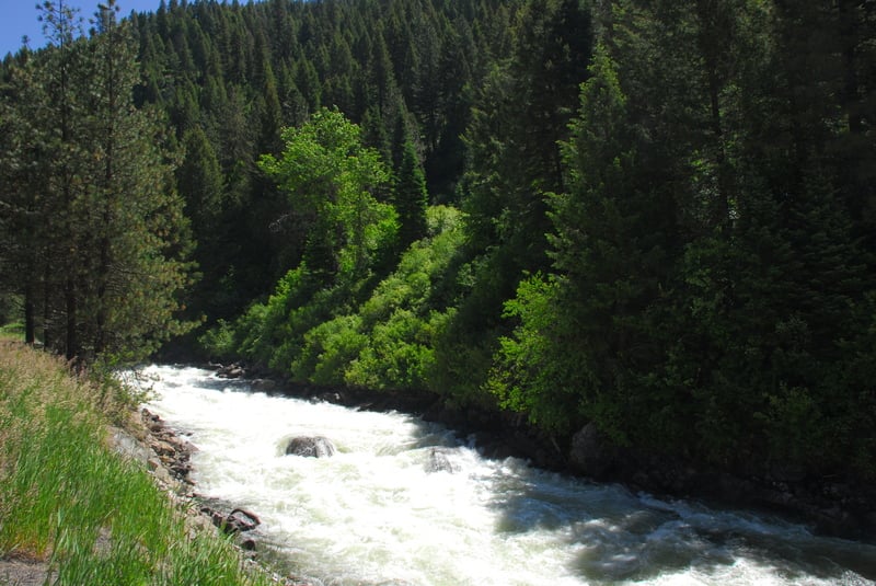
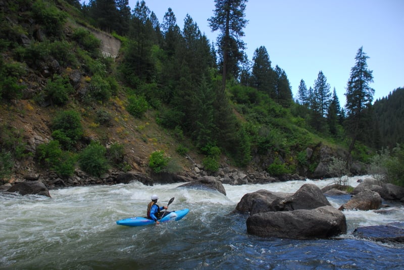
The entire North Fork run is parallel to Highway 55 and drops an impressive 1700 feet along the length of the run from Smith’s Ferry to Banks. It is usually referred to in three segments: the Top 5, Middle 5, and Lower 5. The Lower 5 is the most frequently paddled and where most people start. The Lower 5 rapids are more straightforward than those upstream and the run makes a great after work Class V fix or those looking for a warmup to the upper stretches.
The Top 5 begins just below Smith’s Ferry where the river drops into the canyon and rapids that include Steepness, Nutcracker, Disneyland, and S Turn challenge boaters. This section ends at Big Eddy Campground, a rare break from the near-constant action of the run.
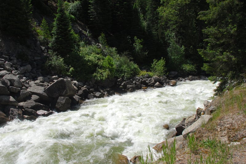
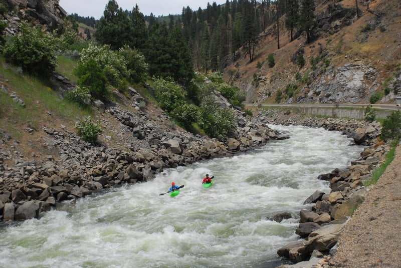
The Middle 5 is marked by a cable foot bridge representing the start of the heart of the run with rapids that include Slide, Bad Jose, Know Where to Run, Chaos, Bouncer Down the Middle, Pectoralis Major, and Jacob’s Ladder. Jake’s is the signature rapid on the run with its own set of names for features within the rapid that include Rock Drop, Taffy Puller, and Ocean Wave. Below Jacob’s Ladder, the intensity continues with no let up as you enter the Golf Course, with more holes than an 18-hole golf course. Some put-in below here for a run down to Banks paddlers refer to as the “Lower 7.” Screaming Left Turn, Jaws One, and Jaws 2 mark the end of the Middle 5.
The Lower 5 begins at the pull-out for Hound’s Tooth. While this section includes “only” the four named rapids of Hound’s Tooth, Otter’s Run, Juicer, and Crunch, the whitewater in between is continuous and paddlers are advised to bring their “A game” particularly during high water in spring. Those who have not paddled the North Fork are advised to start with this section to get a feel for the raw power and intensity of this river.
(The Lower 5 can be run during low water from Otter's Slide to Banks. Taking on more of a creeking vibe, it is still challenging & technical water; the overall grade reduces to IV+ below 300cfs.)
Logistics:
The standard put-in for the top of the run is Highway 55 mile 94.6.
Foot Bridge Access at Highway 55 mile 89.2 serves as a put-in for the Middle Five.
Jacob's Ladder can be viewed from the pullout at Highway 55 mile 86.4.
The put-in for the Lower Five is the pullout at Highway 55 mile 83.8.
The take-out in Banks is at Highway 55 mile 78.8 on river right.
Rapids in this Run (23)
 Rapid
V
Rapid
V
Steepness
 Rapid
V+
Rapid
V+
Nutcracker
 Rapid
V
Rapid
V
Disneyland
 Rapid
V
Rapid
V
S-Turn
 Rapid
Rapid
Big Eddy Campground
Rapid
Foot Bridge Access
 Rapid
V
Rapid
V
Slide
 Rapid
V
Rapid
V
Bad Jose
 Rapid
V
Rapid
V
Know Where To Run
 Rapid
V
Rapid
V
Chaos
 Rapid
V
Rapid
V
Bouncer Down the Middle
 Rapid
V
Rapid
V
Pectoralis Major
 Rapid
V+
Rapid
V+
Jacobs Ladder
Rapid
V+
Golf Course
Rapid
V
Screaming Left Turn
Rapid
V+
Jaws One
Rapid
Lower 7 Put-in
 Rapid
V
Rapid
V
Jaws Two
Rapid
Lower 5 Put-in Above Hounds Tooth
 Rapid
V
Rapid
V
Hounds Tooth
Rapid
IV+
Otters Run
 Rapid
V
Rapid
V
Juicer
 Rapid
V
Rapid
V
Crunch
Difficulty
Class V
Length
16.0 mi
Gradient
110 ft/mi
max 200
Rapids
23
Access Points
Difficulty Classes
I Easy
II Novice
III Intermediate
IV Advanced
V Expert/Extreme
VI Unrunnable
Current Conditions
5-Day Forecast
Whitewater data from
American Whitewater
American Whitewater