5 - Tallulah Gorge to Lake Tugaloo
Linked via: Proximity 100% confidence Synced 6mo ago
Gauge Conditions
Runnable: 425.0 – 1,200.0 CFS
Data from American Whitewater & USGS
Run Map
Run Time Estimate
Select put-in and take-out to estimate time.
Unlock Advanced Trip Planning
See wind-adjusted speed maps, forecast planning, and detailed time estimates.
Sign in to generate an AI timing estimate for this run.
Whitewater timing varies with scouting, portages, and group pace. Use as a planning baseline.
Description
Gauge Description:
Flows are typically 500 cfs on Saturday and 700 cfs on Sunday of release weekends.
The gage is included for those who want to check back after a run, especially for those days when a 700-cfs release was planned, but Georgia Power actually released 1000 cfs.
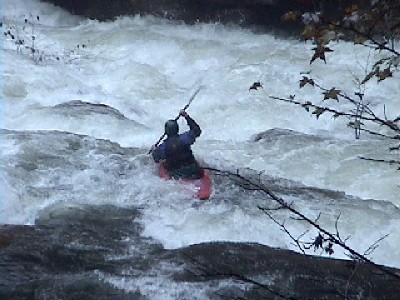
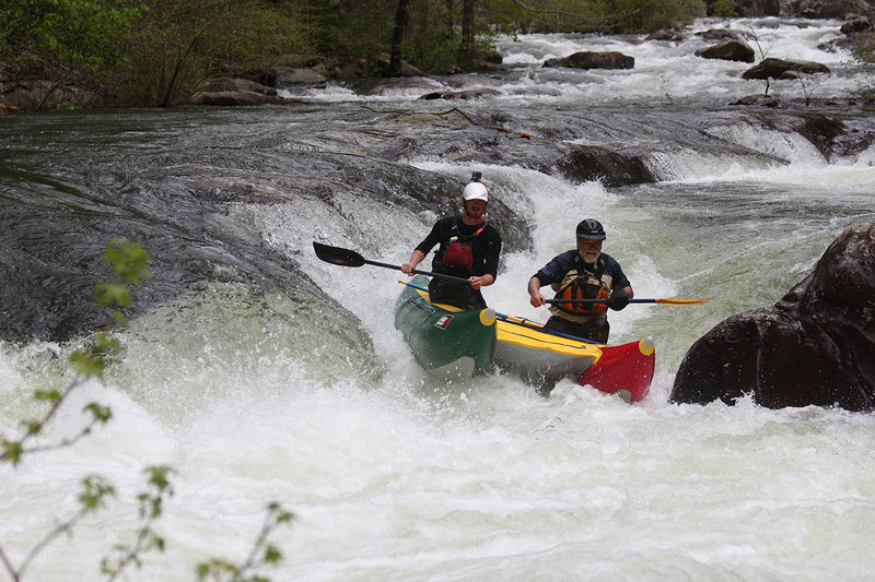
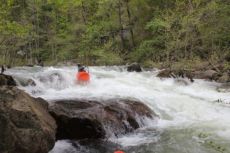
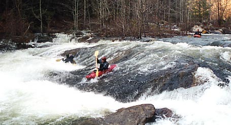
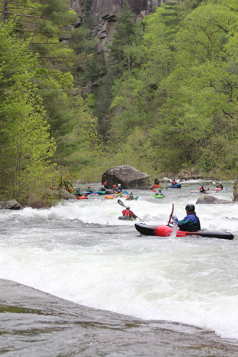
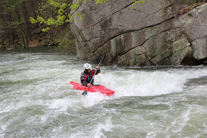
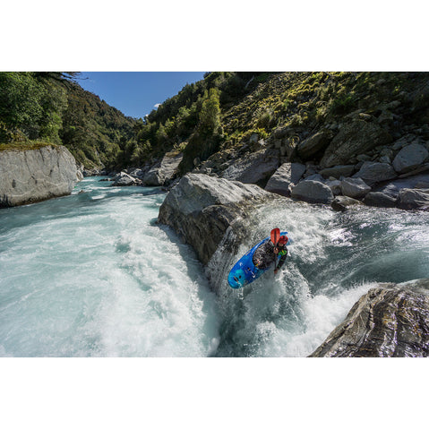
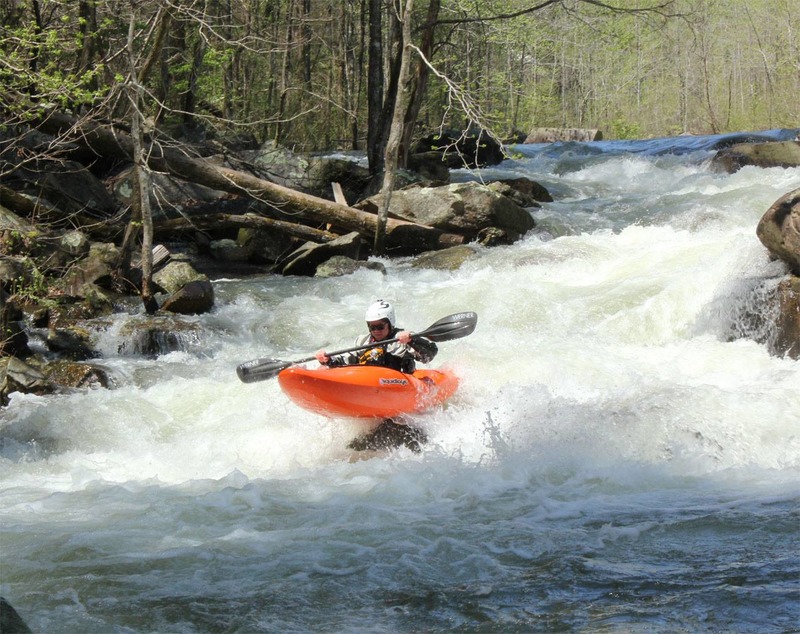
This is a CL IV-V run and deserves the respect and paddler responsibility associated with this rating. Follow the AW safety code and enjoy paddlin' this Southern Jewel.
Releases on the first two weekends in April and first three weekends in November.
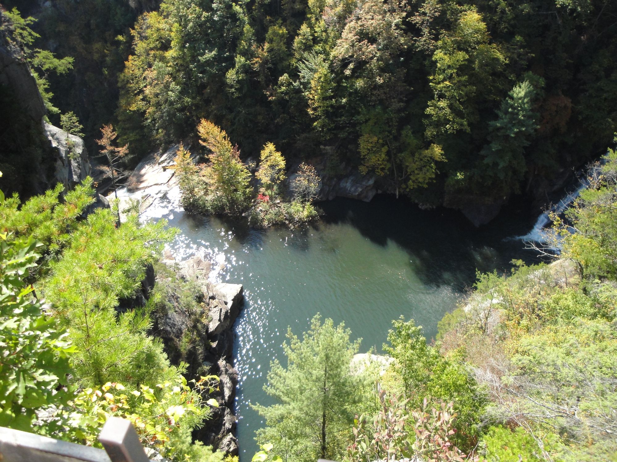
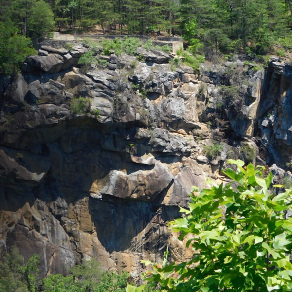
The gorge is reputed to have a gradient better than 200 ft/mi.
Inflatable Policy for the Tallulah Gorge - Updated 2014
Volunteers needed
Tallulah Gorge State Park needs some help to manage the releases on the Tallulah. Volunteering only takes a few hours, you can easily boat and volunteer in the same day. If you are interested in volunteering contact Laura Dillon.
_From StreamTeam Volunteer Don Kinser:_
Here is the consensus list of rapid names from those discussions:
1\. Last Step
2\. Tanner's Launch
3\. Oceana
4\. Gauntlet
5\. Bridal Veil
6\. Zoom Flume
7\. Lynch's Wrench aka Ticket Puncher
8\. Amplitheater
9\. Around the Corner
10\. Tit
11\. Tat
12\. Tom's Brain Buster
13\. Road to Aintry
14\. Twisted Sister
15\. Paddlesnake Ledge
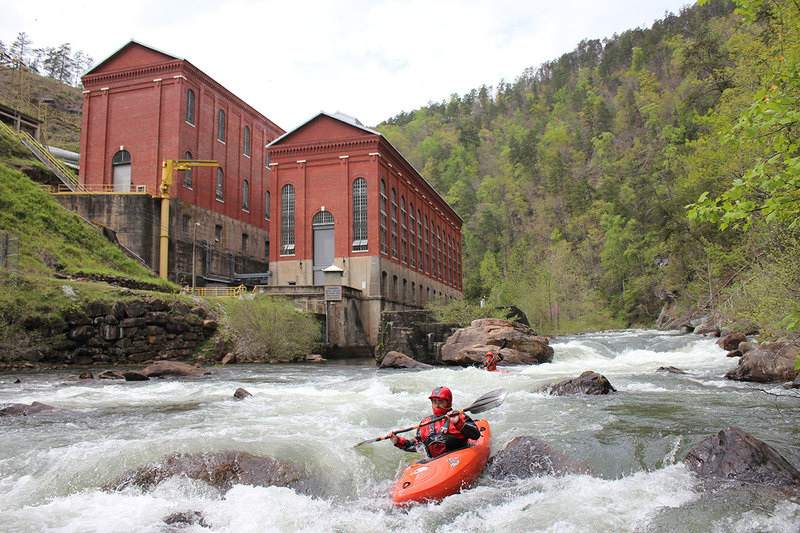
16\. Powerhouse
17\. Maxwell's Last Drop
18\. Damned lake
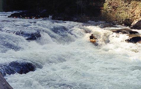
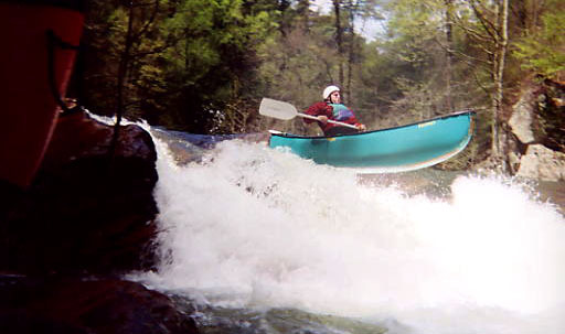
This is a river which requires Class-V skills. Most rapids can be read-and-run by V paddlers, though Oceana and some other rapids are usually scouted.
Directions: From Atlanta: take I-985 north and head for 365 north and Highway 23 and Highway 441. Tallulah Falls is located 12 miles north of Clarkesville on Highway 23-441. Just before the bridge crossing the river, take a left into the grassy field.
From the north: from Chattanooga, TN: Take I-775 north to Rte. 40 east, to US 64 east. In Franklin, head south on US Rte. 23/441 through Clayton. Tallulah Falls is 12 miles south of Clayton. Just after the bridge crosses the river, hang a right into the grassy field.
From Hendersonville, NC: Head west on US-64. Hang a left onto US-23/441, and proceed as above.
Camping: There is a campground at Tallulah Gorge State Park, and Georgia Power maintains a primitive campground near the takeout at Tugalo Park.
Taking out at Tugalo Dam (Not Tugalo State Park): American Whitewater has been asked by GA State Parks and GA Power to inform the boating community that take out access at Tugalo Dam closes at 5:00PM. Please plan to leave the take out area by 5:00PM on all Tallulah release days. GA Power and GA Parks are also concerned about partying at the take out post paddle. Apre' paddle activities are best taken to your campsite. The paddling community has a positive relationship with GA Power and the Park, thank you for your cooperation in maintaining the partnership.
Chattooga Sounds (a campground near the takeout) operates a reservoir shuttle service for those who would rather not paddle across the reservoir. The fee is $20 for the first (up to) 4 people, then $5 per person after that. Their number is 864-647-6196. www.chattoogasounds.com. You can make arrangements for them to bring your cooler and snacks when they meet you.
Fun facts: It's a long walk to the putin, down something like 600 steps!
After the whitewater theres about 1.5 miles of flatwater across Tugaloo Lake to the takeout at Tugalo dam. From the parking lot to the lake is about 650 vertical feet. Parking lot is 1550ish and the lake is 900. Subtract 300 or so feet in steps, and that puts the gradient at close to 300 feet a mile. If anyone can give us an exact put-in altitude, please add it in the comments section.
Thanks to the AWA boaters have had releases in Tallulah Gorge since November 1997.
John Bell's account of the first decent of Tallulah Gorge, May 1993.
Tallulah has been permit free since the November 2001 Releases.
You can read some history of the area by clicking here and here.
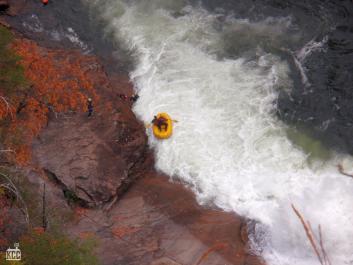
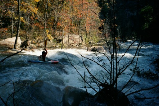
_Photo of paddler Ardie Olsen at Oceana, taken by Ken Strickland from the observation deck, 1998._
This page works best at 1024x768 resolution.
Last updated April 2014
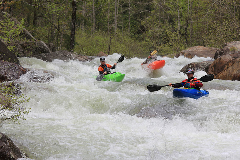
Rapids in this Run (10)
 Rapid
IV+
Rapid
IV+
Last step aka The Entrance Rapid
Rapid
III+
Final Approach
Rapid
III+
Zoom Floom aka The Groove aka The Channel
 Rapid
IV
Rapid
IV
Lynch's Wrench
 Rapid
III+
Rapid
III+
Around the Corner
Rapid
III+
Tit
 Rapid
IV
Rapid
IV
Tat
 Rapid
IV
Rapid
IV
The Road to Aintry aka The Big Slide
 Rapid
IV
Rapid
IV
Paddlesnake Ledge
 Rapid
III+
Rapid
III+
Maxwell's Last Drop
Waterfalls (2)
Playspots (4)
Hazards & Portages (5)
Caution: The following locations may require scouting or portaging. Always check current conditions.
Difficulty
Class IV-V
Length
1.3 mi
Rapids
10
5 Hazards
Access Points
Shuttle Info
**From Atlanta:** take I-985 north and head for 365 north and Highway 23 and Highway 441. Tallulah Falls is located 12 miles north of Clarkesville on Highway 23-441. Just before the bridge crossing the river, take a left into the grassy field.
**From the north: from Chattanooga, TN:** Take I-775 north to Rte. 40 east, to US 64 east. In Franklin, head south on US Rte. 23/441 through Clayton. Tallulah Falls is 12 miles south of Clayton. Just after the bridge crosses the river, hang a right into the grassy field.
**From Hendersonville, NC:** Head west on US-64. Hang a left onto US-23/441, and proceed as above.
**Camping:** There is a campground at [Tallulah Falls State Park](http://georgiastateparks.org/info.asp?id=46&siteid=5), and Georgia Power maintains a primitive campground near the takeout at Tugalo Dam.
This is a river which requires Class-V skills. Most rapids can be read-and-run by V paddlers, though Oceana and some other rapids are usually scouted.
Difficulty Classes
I Easy
II Novice
III Intermediate
IV Advanced
V Expert/Extreme
VI Unrunnable
Current Conditions
5-Day Forecast
Whitewater data from
American Whitewater
American Whitewater