6 - Route 1 to U.S.40 or Mariner Point
Linked via: Proximity 90% confidence Synced 6mo ago
Gauge Conditions
Runnable: ? – ? CFS
Approximate reading: This gauge is 5.6 miles away on Gunpowder Falls. Use as a general reference only.
Data from American Whitewater & USGS
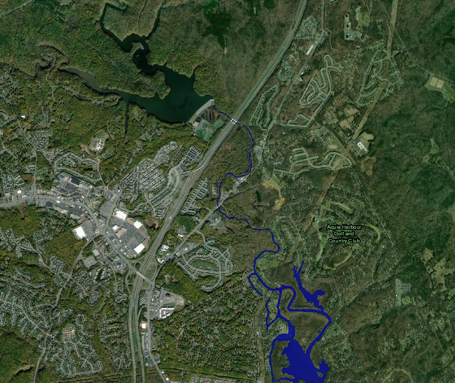
Run Map
Run Time Estimate
Select put-in and take-out to estimate time.
Unlock Advanced Trip Planning
See wind-adjusted speed maps, forecast planning, and detailed time estimates.
Sign in to generate an AI timing estimate for this run.
Whitewater timing varies with scouting, portages, and group pace. Use as a planning baseline.
Description
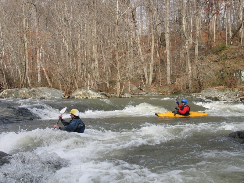
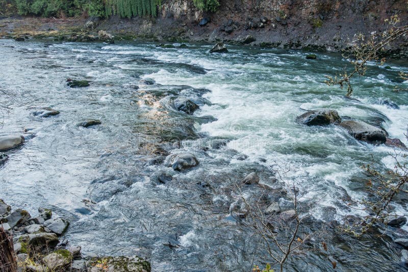
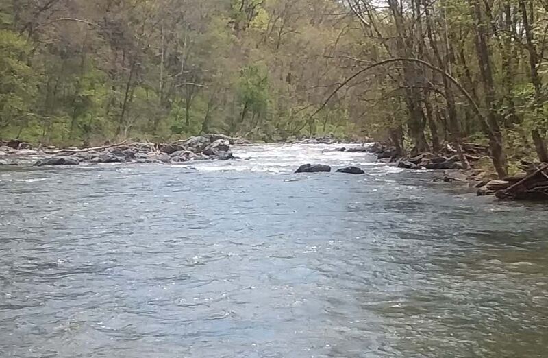
The typical put-in for the Lower GunPowder is at the US1/Belair Road Bridge. There is a really nice gravel parking lot with easy access to the river on river left. The take out at Jones Road has been closed permanently. Currently the only available take-out is at Mariner Point Park which increases the length of the run from 3.4 miles to 7.5 miles.
For more information about this run, see: 1) http://www.baltimorecanoeclub.org/index.php/en/paddling-resources/2013-10-02-01-22-40/2013-10-02-01-46-11; 2) _Maryland and Delaware Canoe Trails_, Ed Gertler.
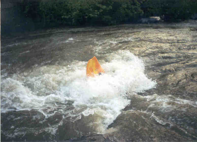
John Berg relates: This is a great run if you can catch it after a rain when Loch Raven Reservoir is full. At lower levels there are not too many playspots. I have not run the upper sections. I usually put in at the Belair Road (Hwy 1) bridge for a shorter but more action-packed run.
Ed Evangelidi relates:
There has been some theft problems at the Jones Rd. takeout, so don't leave your boat or gear unattended or leave anything of value visible in your car. Use the hiking trails (river right is usually best) to scout any rapids that you are unfamiliar with.

Difficulty
Class II-III
Length
7.5 mi
Gradient
20 ft/mi
max 40
Rapids
8
Access Points
Difficulty Classes
I Easy
II Novice
III Intermediate
IV Advanced
V Expert/Extreme
VI Unrunnable
Current Conditions
5-Day Forecast
Whitewater data from
American Whitewater
American Whitewater