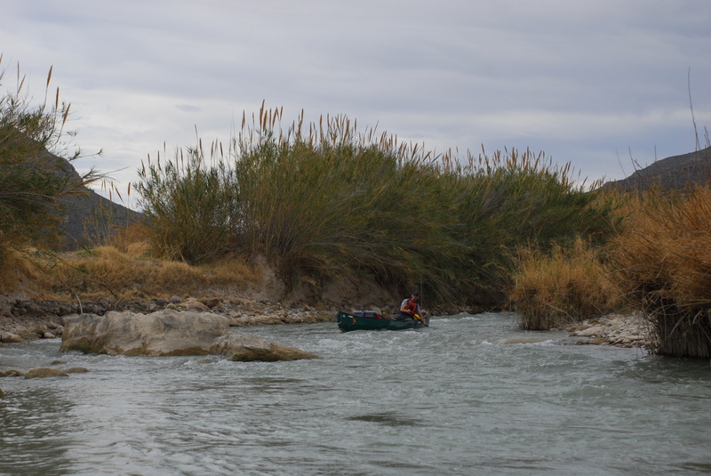
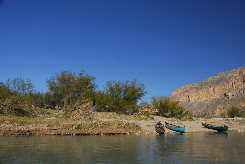
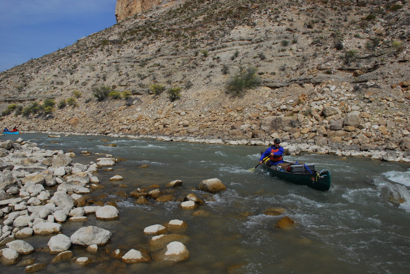
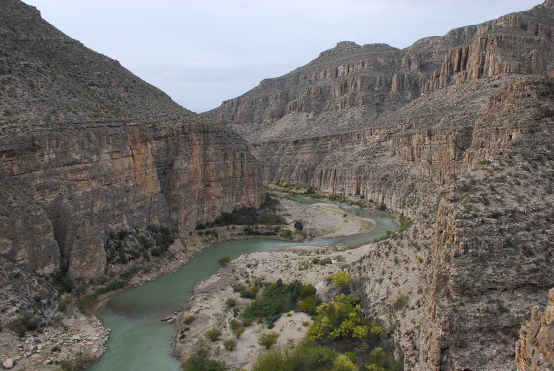
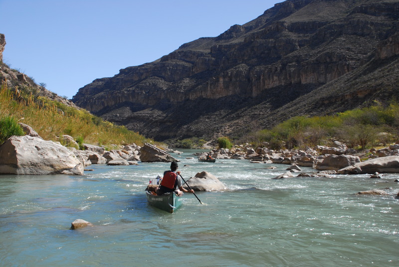
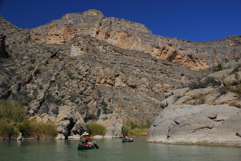
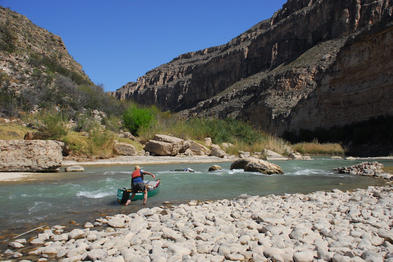
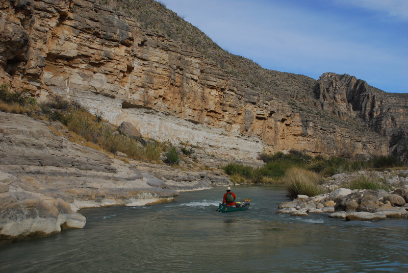
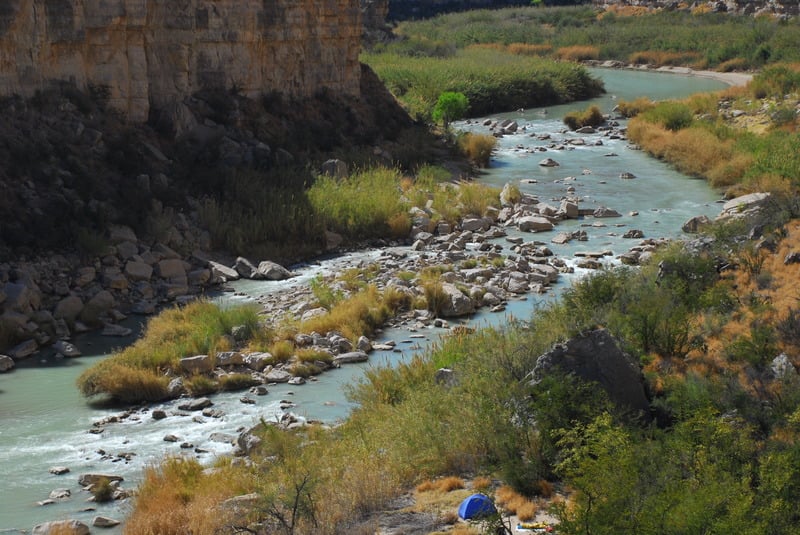
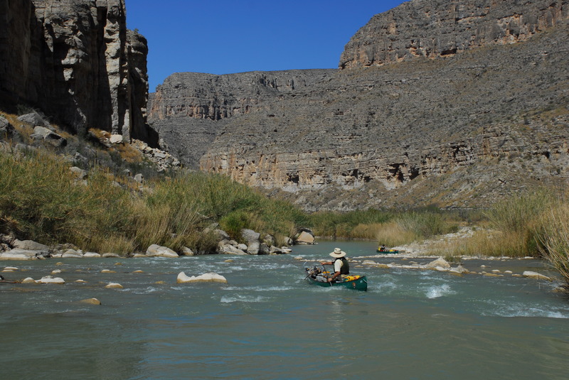
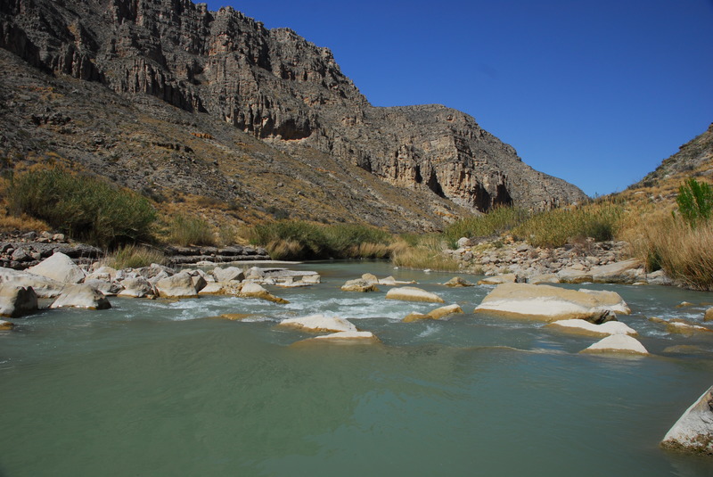
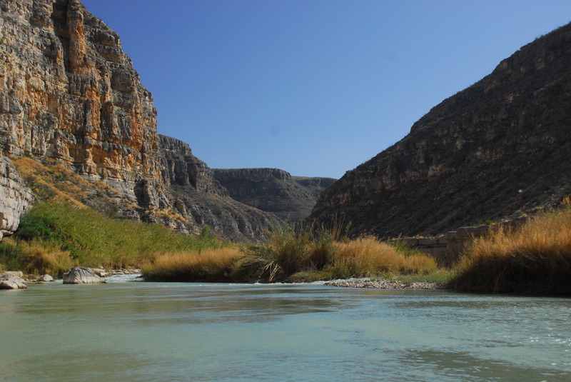
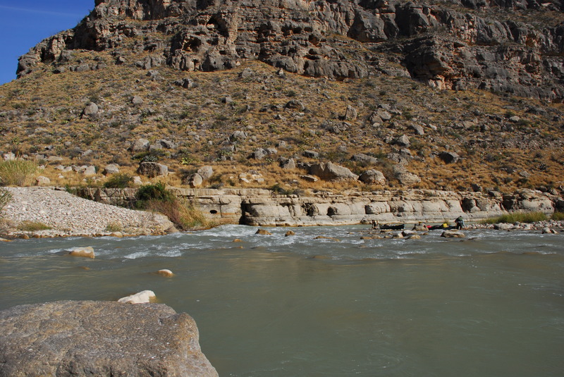
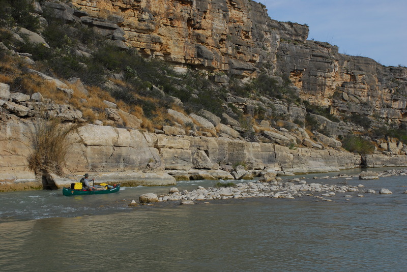
7. Lower Canyons: La Linda to Dryden Crossing (83.5 miles)
Linked via: Unknown Synced 6mo ago
Gauge Conditions
Runnable: 200.0 – 10,000.0 CFS
Best boatable levels uncertain. Help us out! Add a comment or 'report'.
Data from American Whitewater & USGS
Run Map
Run Time Estimate
Select put-in and take-out to estimate time.
Unlock Advanced Trip Planning
See wind-adjusted speed maps, forecast planning, and detailed time estimates.
Sign in to generate an AI timing estimate for this run.
Whitewater timing varies with scouting, portages, and group pace. Use as a planning baseline.
Description
For more information, see Texas Whitewater 2nd Edition.
See also Big Bend National Park and their descriptive site, Floating the Rio.
See also the descriptions in Southwest Paddler.
Put-in is approximately 1740' elevation.
Take-out is approximately 1290' elevation.
Therefore total elevation change is approximately 450'.
Rapids in this Run (14)
 Rapid
II
Rapid
II
Maravillas Rapid
 Rapid
II
Rapid
II
Big Canyon Rapid
 Rapid
II+
Rapid
II+
El Recodo Rapid
 Rapid
I
Rapid
I
Silber Canyon Rapid
 Rapid
III+
Rapid
III+
Hot Springs Rapid
 Rapid
II
Rapid
II
Bullis Fold Rapid
 Rapid
II+
Rapid
II+
Palmas Canyon Rapid
 Rapid
II
Rapid
II
Rodeo Rapid
 Rapid
IV
Rapid
IV
Upper Madison Falls Rapid
 Rapid
II
Rapid
II
Son of Burro Rapid
 Rapid
III
Rapid
III
Lower Madison Falls
 Rapid
II+
Rapid
II+
Panther Canyon Rapid
 Rapid
II+
Rapid
II+
San Francisco Rapid
 Rapid
II
Rapid
II
Sanderson Canyon Rapid
Difficulty
Class II-III+
Length
84.3 mi
Gradient
5 ft/mi
Rapids
14
Access Points
Difficulty Classes
I Easy
II Novice
III Intermediate
IV Advanced
V Expert/Extreme
VI Unrunnable
Current Conditions
5-Day Forecast
Whitewater data from
American Whitewater
American Whitewater