8 - Riggins to White Bird
Linked via: Proximity 80% confidence Synced 6mo ago
Gauge Conditions
Runnable: 3,000.0 – 80,000.0 CFS
Data from American Whitewater & USGS
Run Map
Run Time Estimate
Select put-in and take-out to estimate time.
Unlock Advanced Trip Planning
See wind-adjusted speed maps, forecast planning, and detailed time estimates.
Sign in to generate an AI timing estimate for this run.
Whitewater timing varies with scouting, portages, and group pace. Use as a planning baseline.
Description
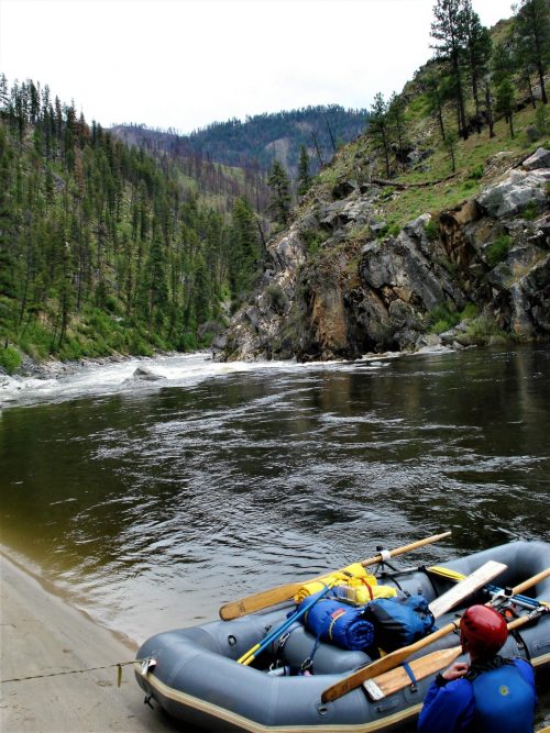
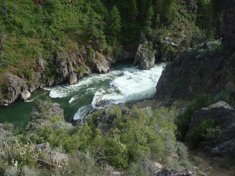
This section of the Salmon River between Riggins and Whitebird is paralleled by Highway 95 which makes for an easy shuttle and provides a number of alternative access points for day trips. The most popular short trip on this section with the best whitewater is from Riggins to Lucile.
While this section is less known than the multi-day stretches on the Salmon that attract paddlers from across the country, you will find great whitewater, easy logistics, and a long summer season on this run. If you want to sample what the Salmon River has to offer without packing 5 days worth of food and hundreds of pounds of gear, this is the place to go.
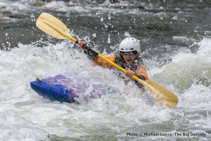
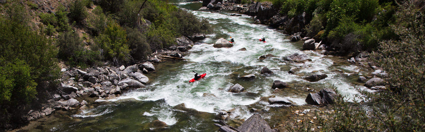
A number of class III rapids are good for instruction with long stretches between rapids to recover or practice a few more rolls. Several local outfitters provide half day or full day trips and Riggins is a fun river town if you are looking for a place to hang out and enjoy the scene.
Logistics:
Put-in is at City Ramp in Riggins at river mile 86.0. The takeout is the Hammer Creek Launch Site at river mile 52.9 but there are multiple access points along the way. Most of the rapids are in the first few miles and most half-day whitewater trips take out at Lucile.
Rapids in this Run (19)
Rapid
II
911 Hole
 Rapid
II
Rapid
II
Race Creek
Rapid
III
Time Zone Rapid
Rapid
II
Tight Squeeze
Rapid
Lightening Creek Access
 Rapid
II
Rapid
II
Cherry Creek Rapid
 Rapid
III
Rapid
III
Chair Creek Rapid
 Rapid
III
Rapid
III
Traps Creek Rapid
Rapid
III
Fiddle Creek Rapid
Rapid
Jackass Flat Recreation Site
 Rapid
III
Rapid
III
Black Rock Rapid
Rapid
Old Lucile Recreation Area
Rapid
Lucile Recreation Site
Rapid
Maynard Hole Access
Rapid
III
Blackhawk Rapid
Rapid
Slate Creek Recreation Site
Rapid
Twin Bridges Access
Rapid
Campbell Flat Access
Rapid
Skookumchuck Recreation Site
Difficulty
Class III
Length
30.0 mi
Rapids
19
Access Points
Difficulty Classes
I Easy
II Novice
III Intermediate
IV Advanced
V Expert/Extreme
VI Unrunnable
Current Conditions
5-Day Forecast
Whitewater data from
American Whitewater
American Whitewater