9 Woods Ferry to Swiss
Linked via: Proximity 88% confidence Synced 6mo ago
Gauge Conditions
Runnable: 750.0 – 15,000.0 CFS
Data from American Whitewater & USGS
Run Map
Run Time Estimate
Select put-in and take-out to estimate time.
Unlock Advanced Trip Planning
See wind-adjusted speed maps, forecast planning, and detailed time estimates.
Sign in to generate an AI timing estimate for this run.
Whitewater timing varies with scouting, portages, and group pace. Use as a planning baseline.
Description
Scheduled releases occur on weekends beginning the Friday following Labor Day. See the Army Corps' web site for the scheduled dates, times, and flows.
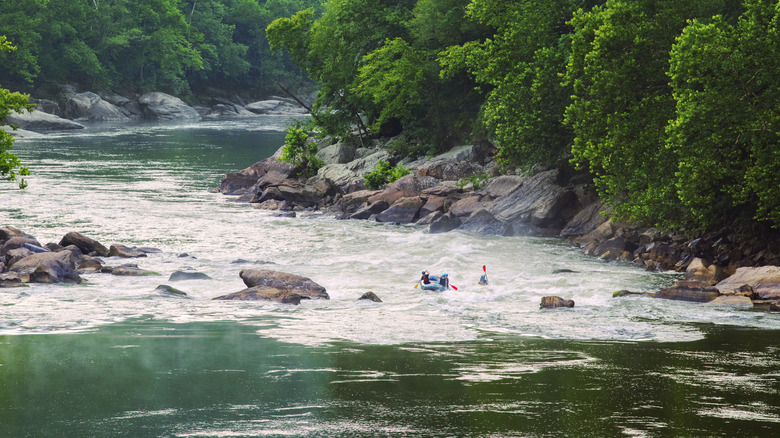
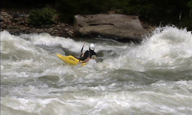
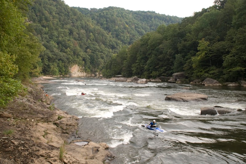
The Lower Gauley is big water. It can also be tons of fun. After a short warm-up with a few small play waves you will see a huge rock on River right and the river will drop out of sight. That's Koontz Flume, the first of several class IV/IV+ rapids on the Lower G. There is a sneak on far river left. The biggest hazard with the sneak is the possibility of meeting up with boaters in the eddy at the bottom waiting their turn to play in 5 Boat Hole. The more conventional line is to run on river right but well left of the huge undercut rock. One obstacle that catches some paddlers is a sticky hole just above the main drop. There is a tongue to the right of the hole and left of a smaller rock that forms an eddy on river right. You can catch the eddy behind the smaller rock and above the huge rock or you can paddle back to the left after clipping the upper hole and catch the green water that takes you on a roller coaster ride down to the bottom of the rapid. If you go for the river right eddy just above the rock make sure that you make it. There has been at least one fatality when a boater swam on the eddy line and was flushed into the undercut.
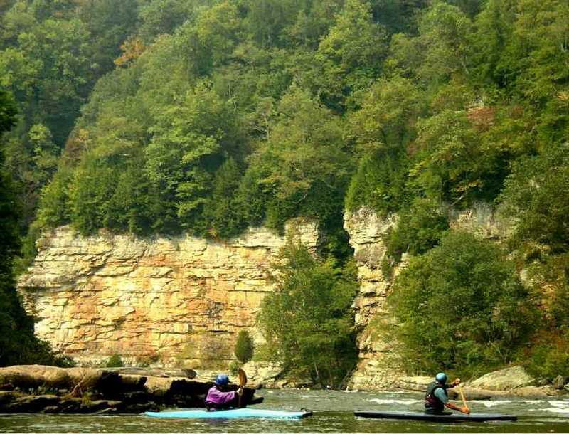
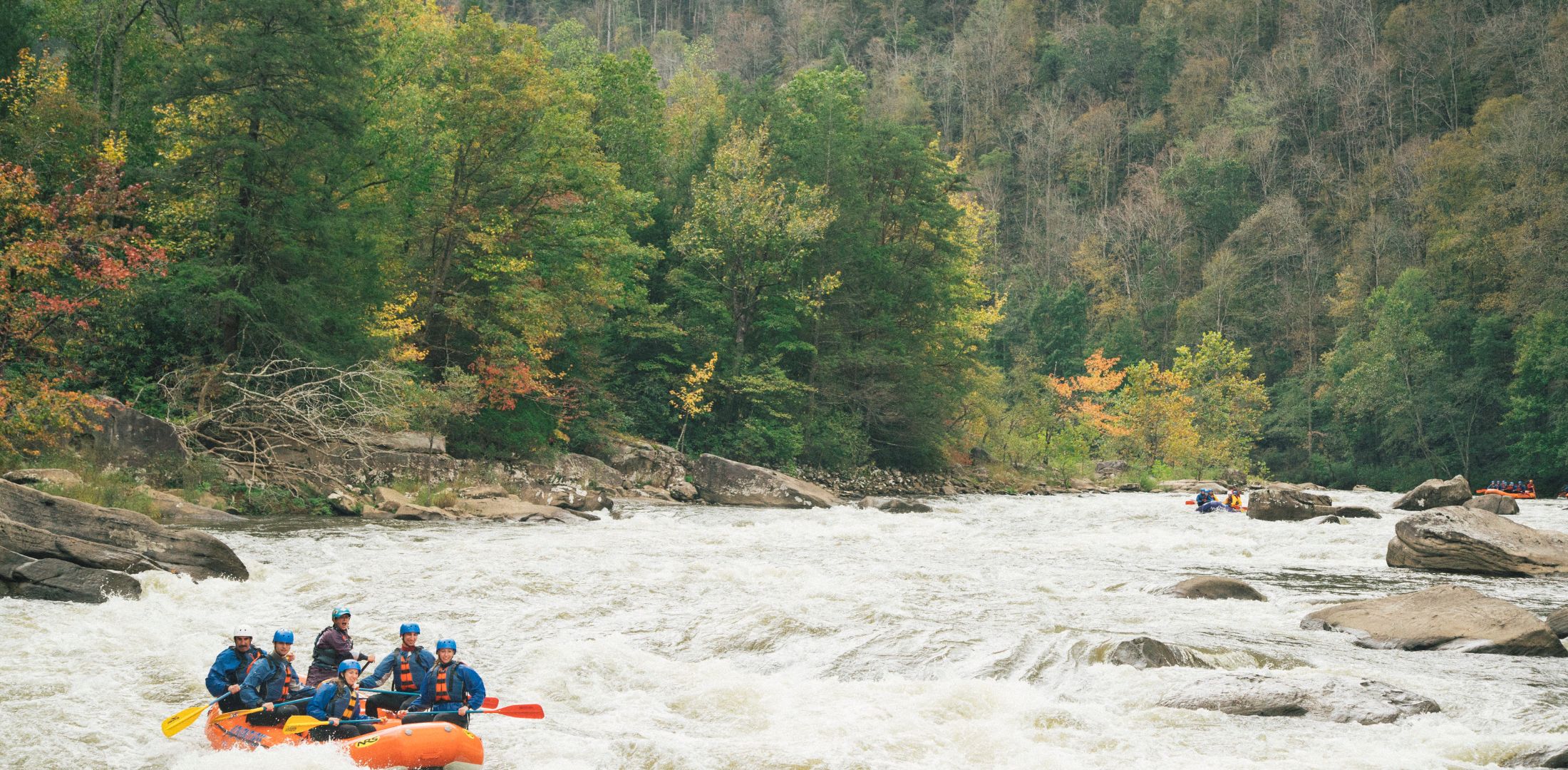
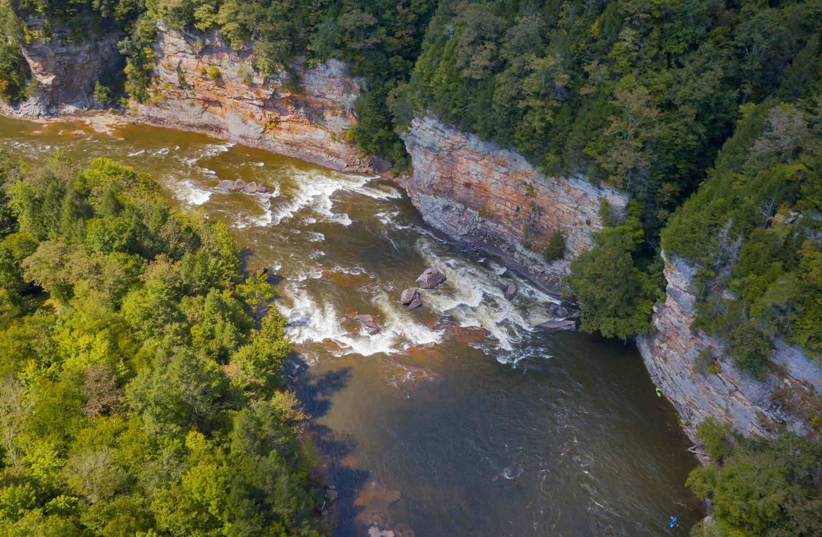
The next major rapid after Koontz Flume is Canyon Doors. It is in a slight bend on the river with beautiful rock cliffs on the right. There are a couple of big rocks in the middle of the river with most of the flow going to the right. The eddy behind the rocks is a nice resting spot before deciding how to run the rest of the rapid. At levels around 1000-1500 cfs there are some great surfing waves between the rocks and the river right shoreline. After Canyon Doors comes Junkyard. Then things quiet down for a while before you get to Psuedo Mash and Twisted Sister. You will recognize Twisted Sister as a squirrely spot on river left where the squirt boaters play. Next come the Mashes. Upper Mash is a great rapid for eddy-hopping while working your way from river center to river left. Catch the big eddy on river left at the bottom of Upper Mash and watch the action at Lower Mash. From the eddy you will see a big rock in the middle of the river with plently of water going around both sides. The rafts go to the right of this rock. Just below the middle rock is a bigger rock on river right with all of the water going left of it. One line from your eddy is to ferry across behind the middle rock and paddle hard to the right to get close to the rock on river right. If you do it right you will clip the right corner of the holeby the big rock and end up in an eddy on river right. Another line is to go down river left- just make sure to work you way back to the center of the river so you don't tangle with the rock on river left at the bottom of the big drop. If you run the center, you will encounter two big wave holes.
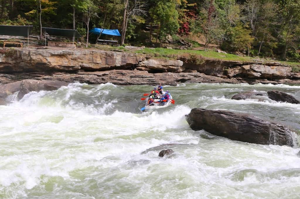
The next horizon line signals Diagonal Ledges. During Gauley season you will see several boaters in the river left eddy at the bottom of Playtime (aka Hawaii 5-0) waiting for their turn at some great surfing. Watch out for traffic coming down river when it's your turn to jump in the hole. The ledges area is a common lunch spot for many of the raft companies. A bit further downstream is Gateway to Heaven (also called Pearly Gates or Heaven Help You). The preferred line is between the big rock just left of center and the ledge on river right. If you get too close to the big rock you will find some really funky water. Rocky Top is the next major rapid. Just below Rocky Top is Chicken Ender on river left.
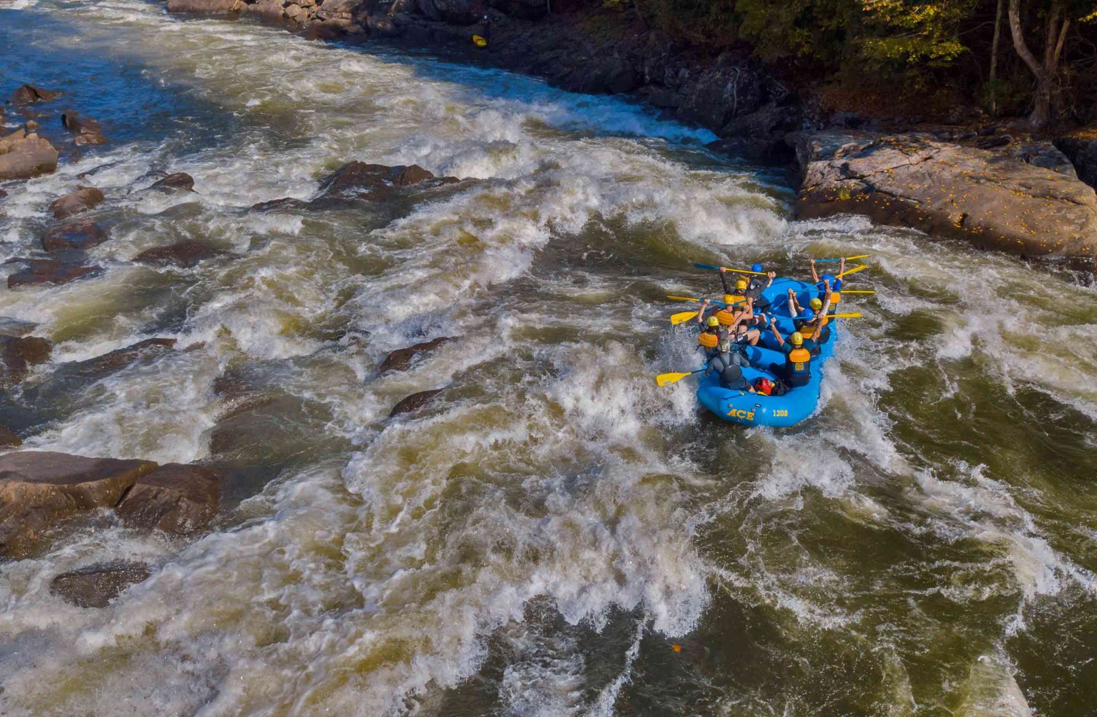
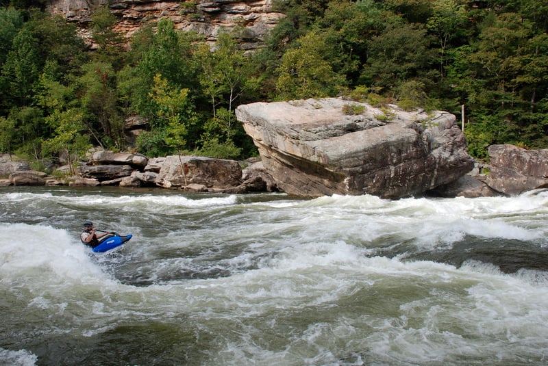
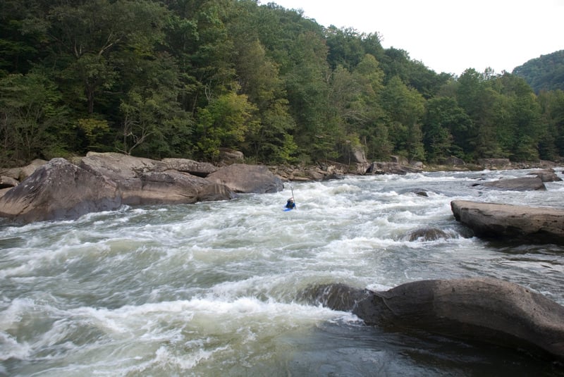
Next comes Upper and Lower Stairstep. I prefer to run the left side of Upper Stairstep, catch the eddy on river left above Lower Stairstep, and work my way to the river right eddy as I go over the first drop in Lower Stairstep. The eddy is interesting because it gives you a nice view of Riverwide Hole. There is a sneak around the right side of the hole by going out the shallow, rocky bottom of the eddy. Or you can try to peel out and clip the right corner of Riverwide. Or you can stay just left of center from the top and go through Riverwide. Just don't aim for the center. Or have plenty of speed to avoid stalling out and getting sucked back into Riverwide, unless, you like to do big backenders. In the next 3 miles or so you will get to run Rollercoaster, Cliffside, Rattlesnake, and Roostertail. In Roostertail stay left of center and left of the rock in the middle at the bottom. There is a nasty pinning rock/ledge at the bottom to the right of the rock in the middle of the river.
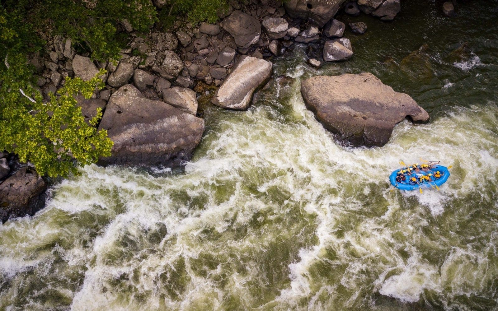
After the pool below Roostertail the river will make a bend to the right. This signals the top of Pure Screaming Hell (class IV+). The easiest line at PSH is to run just to the right of the big rocks that are in the water on the left of center. Then catch the first big eddy on river left. At normal levels you will see a small pyramid shaped rock in the water at the bottom of this eddy. Go just to the right of that rock with slight left angle and catch the next eddy. From this eddy you can easily see just how big Hell Hole is. From here you can sneak left of the rock just below the eddy or go right of the rock and left of Hell Hole. Beware of trying to go river right at PSH. The big rock at the right side of Hell Hole is severely undercut.
Don't be fooled and think that all you have is flat water from here to the takeout. Some folks do and get surprised by Kevin's Folly. After that it's flat water to the takeout.
Woods Ferry: From Highway 129 in Poe turn onto Backus Br Rd and drive 6 miles down to the Woods Ferry Access.
Bucklick Access: Take Peters Creek Rd. off Rt. 39 at Lockwood. During Gauley season (early September through mid-October) the last mile or so of the road to the putin is closed. You have to carry in down the stairs and the last part of the road. This access is rarely used with the acquistion of Woods Ferry by the National Park Service in 2008.
Takeout: Turn onto S Swiss Road in Swiss and drive a mile up this road that parallels rriver right and park across the rr tracks to save a mile of flatwater paddling.
Click here for the Middle Gauley, and Click here for the Upper Gauley.
Rapids in this Run (10)

Hazards & Portages (2)
Caution: The following locations may require scouting or portaging. Always check current conditions.
Difficulty
Class III-IV(V)
Length
14.0 mi
Gradient
26 ft/mi
max 30
Rapids
10
2 Hazards
Access Points
Difficulty Classes
I Easy
II Novice
III Intermediate
IV Advanced
V Expert/Extreme
VI Unrunnable
Current Conditions
5-Day Forecast
Whitewater data from
American Whitewater
American Whitewater