How's Your
River
×
Explore
Explore Map
Water Bodies
Gauges
Access Sites
Tidal Stations
Whitewater
Pricing
Login
Sign Up
Whitewater
Wisconsin
Peshtigo - A) CCC Bridge (FS 2131) to Burnt Bridge (FS 2134) (9.2 miles)
Whitewater Run
WI
Class I-II
A) CCC Bridge (FS 2131) to Burnt Bridge (FS 2134) (9.2 miles)
Peshtigo
Linked via:
Proximity
97% confidence
Synced 6mo ago
Pin Location
Monitor
Water Body
Map
Rapids (4)
Gauge
Weather
Put-in
Gauge Conditions
North Branch Oconto River near Wabeno, WI
Upstream
Primary
Runnable: ? – ? CFS
Approximate reading:
This gauge is 12.0 miles away on Peshtigo. Use as a general reference only.
Data from
American Whitewater
&
USGS
Run Map
Radar
Counties
Cell
Verizon
AT&T
T-Mobile
Dark
Satellite
Terrain
Description
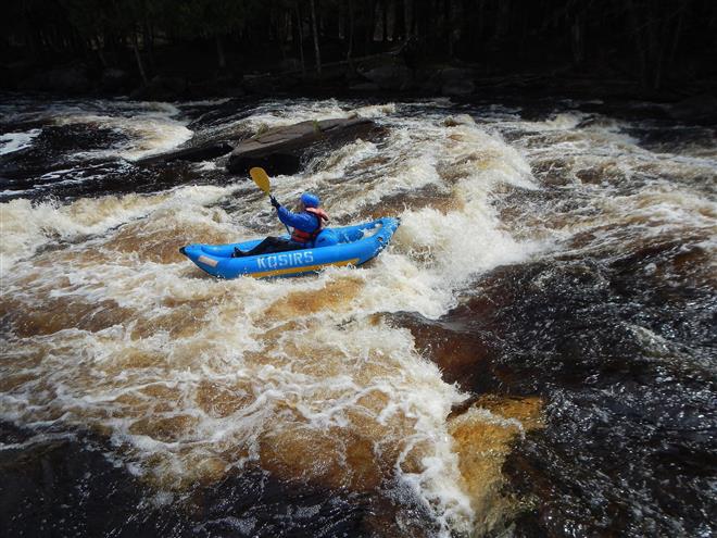
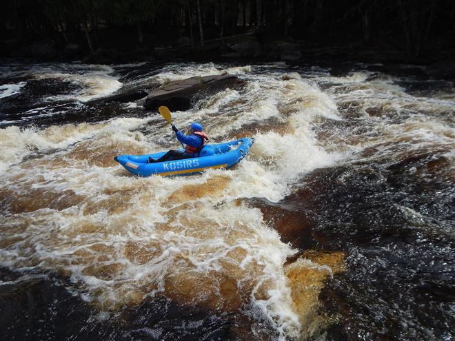
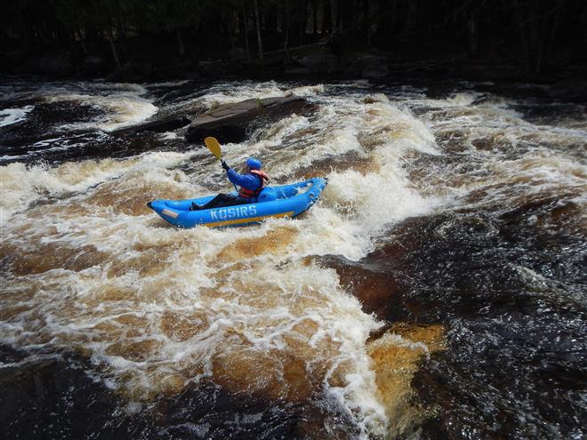
Three rapids (marked, but unnamed, on the topo maps) populate this upper reach of the Peshtigo.
Rapids in this Run (4)
Rapid
Drainage: ~173 sq.mi.
0.0 mi
Rapid
Rapids (marked on topos)
0.4 mi
Rapid
Rapids (marked on topos)
4.4 mi
Rapid
Rapids (marked on topos)
8.2 mi
Difficulty
Class I-II
Length
9.0 mi
Gradient
10 ft/mi
max 23
Rapids
4
Access Points
Put-in
45.6108, -88.5928
Take-out
45.5623, -88.4956
Difficulty Classes
I Easy
II Novice
III Intermediate
IV Advanced
V Expert/Extreme
VI Unrunnable
Current Conditions
5-Day Forecast
Whitewater data from
American Whitewater
A) CCC Bridge (FS 2131) to Burnt Bridge (FS 2134) (9.2 miles)