A) Four Mile Grade Rd/170 to Six Hundred Road/FR166 (6.75 miles)
Linked via: Nhdplus discovery 90% confidence Synced 6mo ago
Gauge Conditions
Runnable: ? – ? CFS
Approximate reading: This gauge is 25.4 miles away on Cross. Use as a general reference only.
Data from American Whitewater & USGS
Run Map
Description
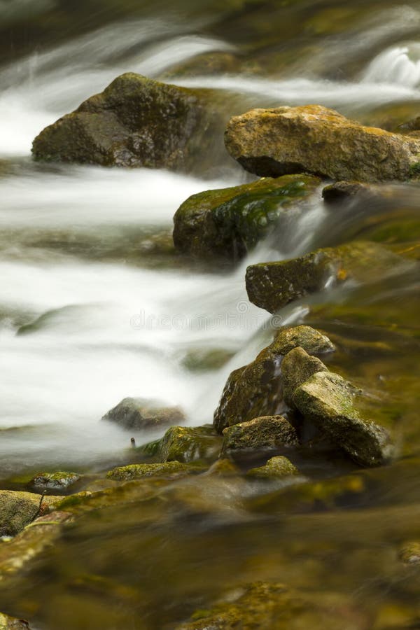
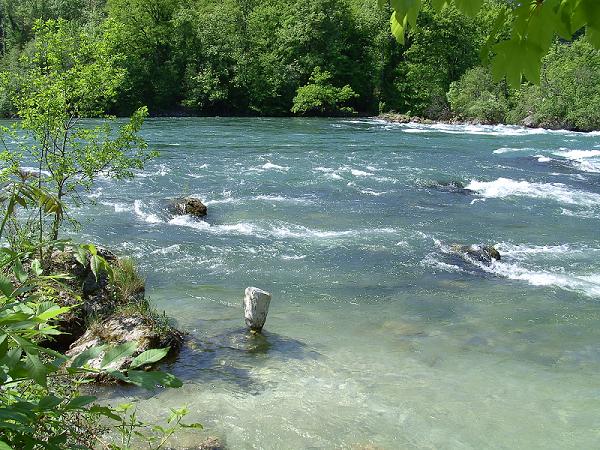
This Upper section of the Cross has a lot of flatwater, low-grade rapids, and at least 50' of drop in less than a half-mile. Expect that wood (deadfall/snags) may be a major concern, especially in the early going.
Rapids in this Run (4)


Difficulty
Class II-III
Length
6.4 mi
Gradient
25 ft/mi
max 55
Rapids
4
Access Points
Difficulty Classes
I Easy
II Novice
III Intermediate
IV Advanced
V Expert/Extreme
VI Unrunnable
Current Conditions
5-Day Forecast
Whitewater data from
American Whitewater
American Whitewater