A) Gwinn to Swimming Hole Creek (19.3 miles)
Linked via: Nhdplus discovery 90% confidence Synced 6mo ago
Gauge Conditions
Runnable: ? – ? CFS
Approximate reading: This gauge is 3.2 miles away on Escanaba. Use as a general reference only.
Data from American Whitewater & USGS
Run Map
Description
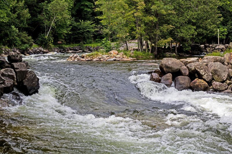
A fairly long reach, mostly good canoe-cruising, 8 miles West of the community of Rock, MI.
Technically, our listed put-in is on the Middle Branch. Not far downstream, as the East Branch enters from the left, the combined flow loses any 'branch' designation and becomes just the Escanaba. Aerial recon of the whole stretch (via Satellite view) fails to show any discernable features other than low-grade rock-garden riffles/rips/shoals. In fact, the best rapids in evidence are on the West Branch, immediately above it's confluence with this run!
Rapids in this Run (11)
Difficulty
Class I-II
Length
19.1 mi
Gradient
4 ft/mi
max 15
Rapids
11
Access Points
Shuttle Info
Various options exist for shorter runs.
Difficulty Classes
I Easy
II Novice
III Intermediate
IV Advanced
V Expert/Extreme
VI Unrunnable
Current Conditions
5-Day Forecast
Whitewater data from
American Whitewater
American Whitewater