A) Hwy.55 to Stevens Lake Rd. (13.4 miles)
Linked via: Nhdplus discovery 90% confidence Synced 6mo ago
Gauge Conditions
Runnable: 3.3 – 10.0 FT
Likely too low for enjoyable whitewater trip. If rock just downriver from hwy 55 bridge has more than 2" showing above water flow is not adequate
Data from American Whitewater & USGS
Run Map
Description
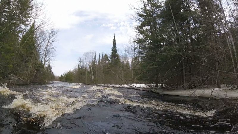
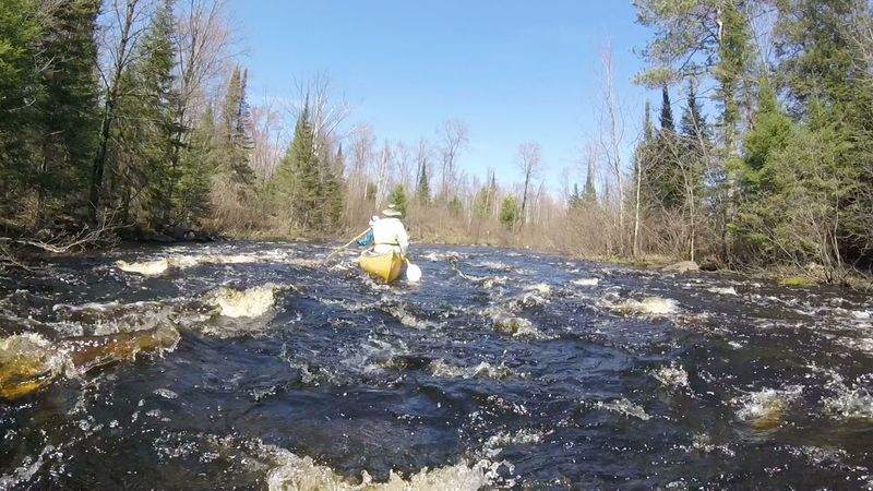
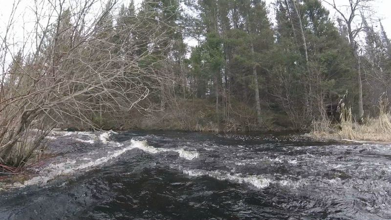
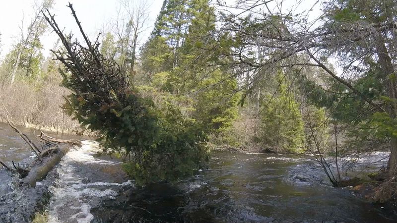
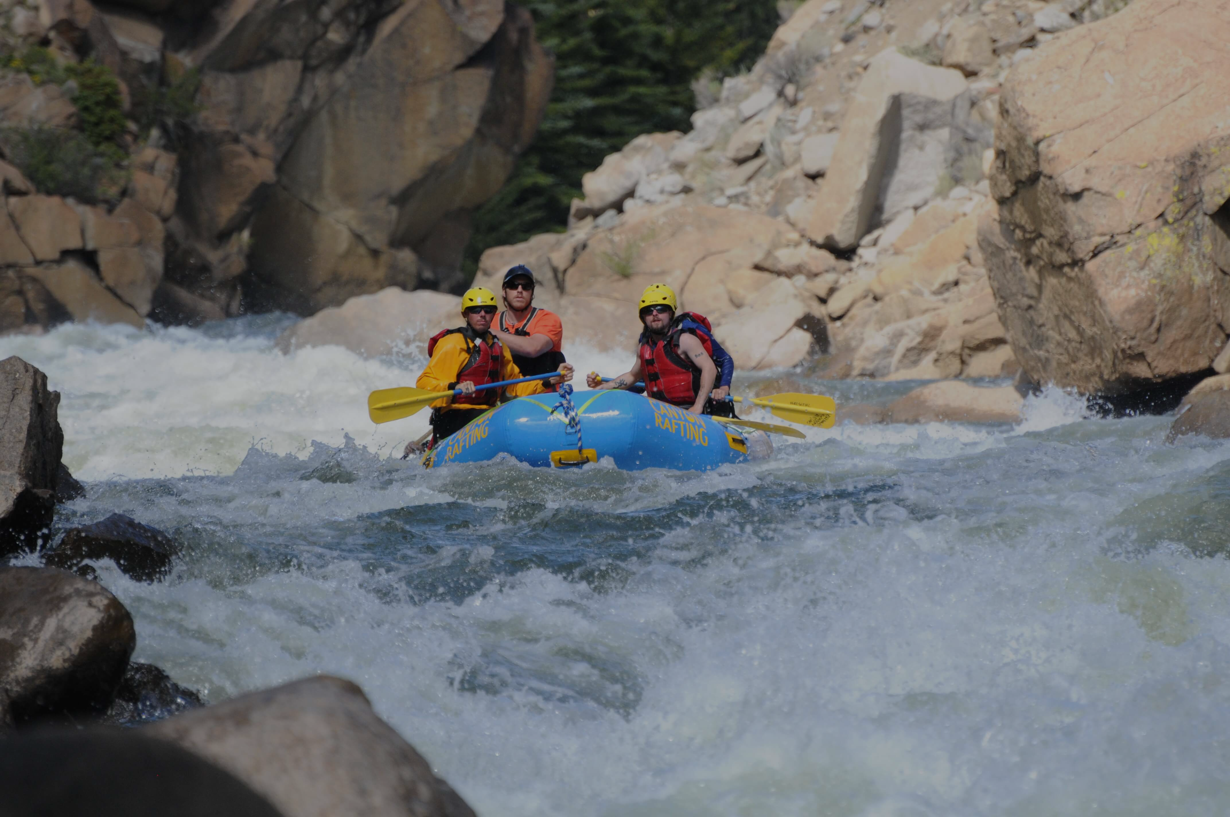
With adequate water levels this beautiful, intimate stretch of the upper Pine River offers long (1/3 to 1 mile each) runs through 6 different, back-to-back series of class 2 (with class 1) rapids, plus one additional shorter dash through a class 2+ (more technical) rapids. The total of over 4 miles (30% by distance) of rocky rapids provide enjoyable breaks to the 9 miles (70% by distance) of flowing flatwater through dense forest and marshlands.
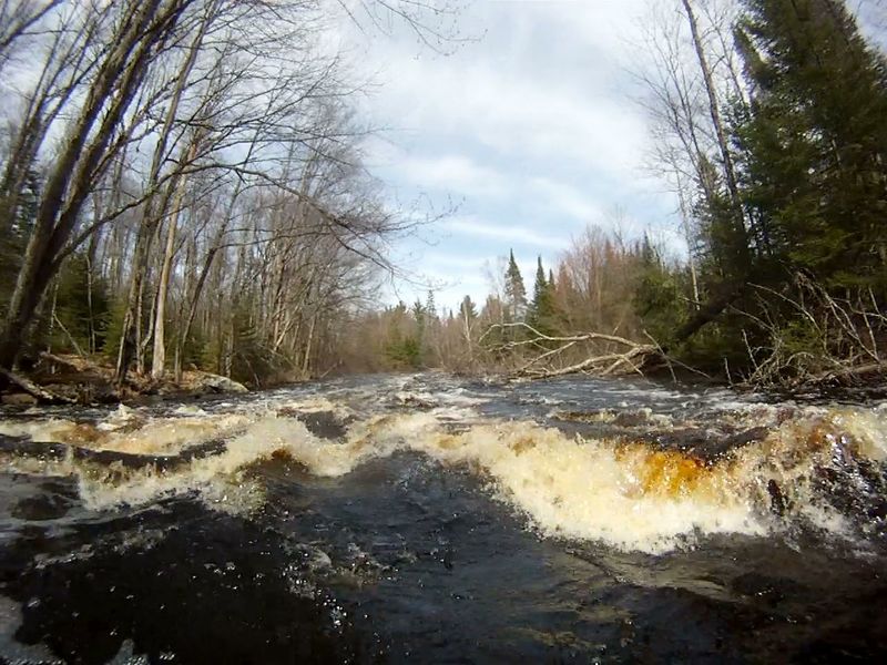
Unique and critical to this section of the Pine River, is how to determine if water levels are adequate. The USGS flows (250cfs) that are adequate for the sections above and below this stretch are not adequate for passage through the rocky reaches of this stretch. When the rock, just downriver from the Hwy 55 bridge has more than 2” SHOWING above water, flow IS NOT ADEQUATE. If any of the rock is showing then the trip will require more maneuvering and may have some scraping on 3 of the upper rapids. On the other end of the scale, high flows are not significantly limiting for this section (just more waves and less rocks). Generally, the trip takes around 6 hours at low flow can be done in 5 or less hours at high flow rates.
The Pine River is a state of Wisconsin designated Wild River however, all of the public-owned riparian land along this section of the Pine is USFS land that is managed similar to but not the same as WI DNR managed land further downriver. Tent camping is common, river-right at the end of CCC rapids (also anywhere else on USFS land).
Upriver from Hwy 55, the Pine has a north and south branch, each with over 10 miles of meandering flatwater, beaver dams, and extensive marshlands. The only significant rapids is Wildcat Rapids, a tight, 170-foot-long class-1 at 45.882448, -88.852031 on the south branch (portage option on left).
Larry Zibell provided considerable assistance with the details on this page.
Rapids in this Run (9)
Hazards & Portages (2)
Caution: The following locations may require scouting or portaging. Always check current conditions.
Difficulty
Class I-II
Length
12.8 mi
Gradient
7 ft/mi
max 9
Rapids
9
2 Hazards
Access Points
Shuttle Info
If ice and moisture is out of the gravel road beds, shuttle by Long Lake Rd (FS2168) makes for a shorter (16.2 miles) shuttle. From put-in take Hwy 55 south for 4.1 miles. Turn left on Long Lake Rd (FS2168) and driver for 10.6 miles. Turn left on Stevens Lake Rd (FS2169) and drive 1.5 miles to takeout.
If ice and moisture is not out of the gravel road beds shuttle by Hwy 70 and Hwy 139 (25.4 miles). From put-in take Hwy 55 north for 4.1 miles then turn right on Hwy 70 and drive for 8.6 miles. Turn right on Hwy 139 and drive south for 8.5 miles then turn right on Long Lake Rd and driver 2.7 miles to Steven Lake Rd. Turn right and driver 1.5 miles to takeout.
Difficulty Classes
I Easy
II Novice
III Intermediate
IV Advanced
V Expert/Extreme
VI Unrunnable
Current Conditions
5-Day Forecast
Whitewater data from
American Whitewater
American Whitewater