A) Old County A to primitive camp off FR510
Linked via: Proximity 96% confidence Synced 6mo ago
Gauge Conditions
Runnable: ? – ? CFS
Approximate reading: This gauge is 10.0 miles away on Pike. Use as a general reference only.
Data from American Whitewater & USGS
Run Map
Run Time Estimate
Select put-in and take-out to estimate time.
Unlock Advanced Trip Planning
See wind-adjusted speed maps, forecast planning, and detailed time estimates.
Sign in to generate an AI timing estimate for this run.
Whitewater timing varies with scouting, portages, and group pace. Use as a planning baseline.
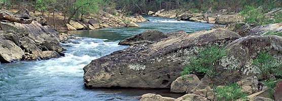
Description
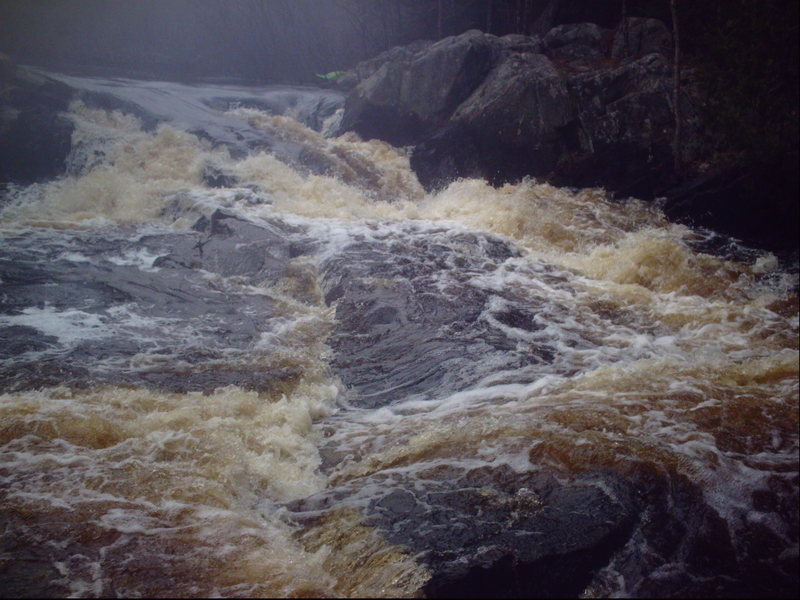
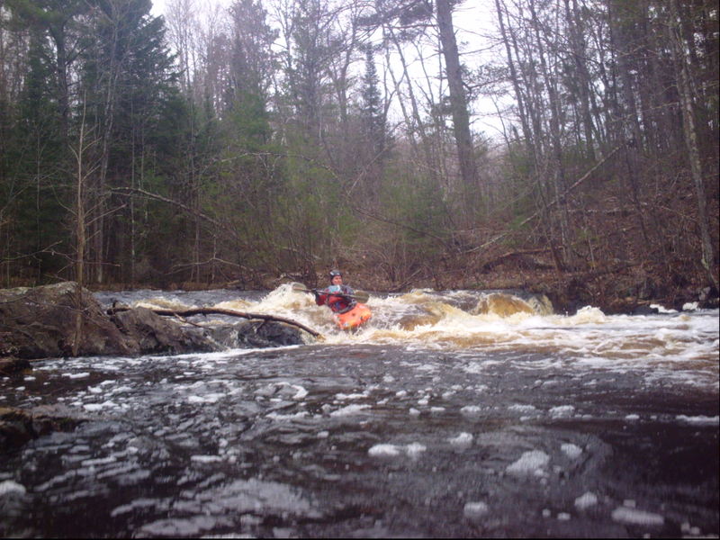
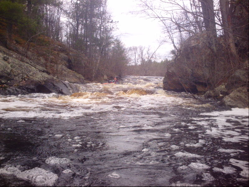
USB (Upper South Branch) Pike is a very scenic paddle, with a few interesting fairly large drops. Drops include _Erratic Ledge, Split Falls, Horseshoe Falls, Double-Drop Dells._
Could be used as a 'warm-up' or 'chaser' for a run on the Four Falls Section of the North Branch, which is very nearby.
Early season access to the take-out for this section can be problematic due to snow on the Forest Service roads. Again, the proximity of the various other runs on the Pike should ensure that you will not be totally 'skunked'. If you try for this reach, and find the road to the take-out impassible, try the Lower South Branch, Four Falls (North Branch), or the Yellow Bridge (main Pike).
For those who may wonder, there is about 6.5 miles of largely uninteresting water (from a whitewater perspective) from the recommended take-out for the 'Upper South Branch' (this run) to the recommended put-in for the 'Lower South Branch". So, while it could be paddled, those looking to maximize their whitewater experience will do best to stick with these listed stretches.
Rapids in this Run (1)
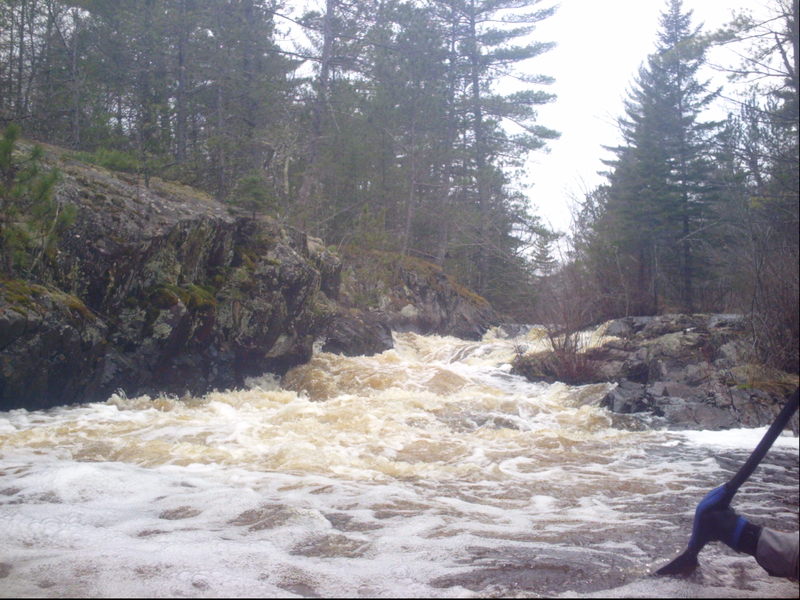
Waterfalls (1)
Playspots (2)
Hazards & Portages (1)
Caution: The following locations may require scouting or portaging. Always check current conditions.
Difficulty
Class II-III
Length
4.7 mi
Gradient
24 ft/mi
max 42
Rapids
1
1 Hazard
Access Points
Shuttle Info
It _may_ be possible to skip the intial sequence (Erratic Ledge and the boulder-bed rapids which precede and follow it) and the somewhat lengthy (though not bad) flatwater meandering stretch. With the disclaimer that I have never tied it, there appear to be tracks/trails off the 'main' road where there is a major clearing for powerlines. If you (can) follow those lines/paths all the way south to the river, you will be very near where the gradient picks back up for the main part of this run. Similarly, one could forego the (relatively easier) Double-drop Dells, final runout boulderbed, and final flatwater and just takeout at (after) Horseshoe Falls. This would give you the two 'big' drops and a very short trip with virtually no scrapey boulderbed. Thus, this might be worthwhile even at fairly low flows (under 150 cfs).
Difficulty Classes
I Easy
II Novice
III Intermediate
IV Advanced
V Expert/Extreme
VI Unrunnable
Current Conditions
5-Day Forecast
Whitewater data from
American Whitewater
American Whitewater