A) Tar Dam Rd (FS 2104) to CTH.W (7.5 miles)
Linked via: Nhdplus discovery 90% confidence Synced 6mo ago
Gauge Conditions
Runnable: ? – ? CFS
Approximate reading: This gauge is 12.6 miles away on Oconto. Use as a general reference only.
Data from American Whitewater & USGS
Run Map
Run Time Estimate
Select put-in and take-out to estimate time.
Unlock Advanced Trip Planning
See wind-adjusted speed maps, forecast planning, and detailed time estimates.
Sign in to generate an AI timing estimate for this run.
Whitewater timing varies with scouting, portages, and group pace. Use as a planning baseline.
Description
There are several different put-ins for this reach depending upon a paddler's interests. The "traditional" put-in is from Tar Dam Rd but there are two alternate choices downstream of this location for paddlers that wish to minimize the flat/moving water paddling. (The distance and average gradient figures listed above reflect the entire reach.)
Tar Dam Rd
There are several class I-II rockbed drops shortly below the bridge. The remainder of the 1.1 miles to the next bridge is moving water only.
Old Hwy 32
Starting from this point yields a run of 5.9 miles. Loon Rapids begins about a half mile below the bridge and consists of some class I-II rockbed with one low sloping ledge (II). This ledge can create a strong hydraulic at high flows, which is evident from above and easily skirted on the left. Two miles of moving water follows and then a paddler encounters an enjoyable twisting series of class II rockbed drops in the quarter mile or so above the next bridge.
Hwy 32/64
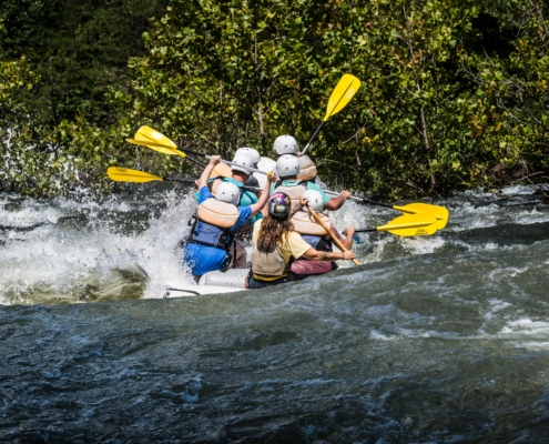
Starting from this point yields a run of 2.8 miles and is recommended for those looking primarily for whitewater. The next mile and a half is near-continuous class I-II rockbed rapids, a joy for the paddler used to the "lake/drop" nature of many Wisconsin rivers. This slows up a bit where there are several cabins close to the water river left. Just below, the river braids into several channels, some of which may contain trees. The section of braided channel serves as a warning that Krammer Dam Rapids is just ahead. Though the dam is long since gone, this is perhaps the most challenging part of this reach, edging into class III territory at high flows. The river takes a hard left just above the drop, and there is a decent eddy river right for scouting (though it's easy enough to boat scout). The river drops through a hard turn back to the right and features some sizable waves. This signals the end of the whitewater. It's about a mile of moving water down to the Cty W bridge.
As this is a smaller stream, trees are at times encountered blocking part of the channel so caution is advised. The riverbanks are heavily wooded so 'early season' boaters may find "walls" of snow and ice, making exit from the river (or rescue, in the event of a swim) somewhat difficult. Cty W runs parallel to the river for perhaps a half mile before reaching the bridge. The property is privately held and it is recommended to resist the temptation to take out early unless specific permission is obtained.
For those who haven't had enough fun yet, you can continue downstream and run the Bagley Rapids section.
Rapids in this Run (4)
Difficulty
Class II
Length
7.2 mi
Gradient
24 ft/mi
max 78
Rapids
4
Access Points
Difficulty Classes
I Easy
II Novice
III Intermediate
IV Advanced
V Expert/Extreme
VI Unrunnable
Current Conditions
5-Day Forecast
Whitewater data from
American Whitewater
American Whitewater