Applegate Dam to Rogue River
Linked via: Proximity 96% confidence Synced 6mo ago
Gauge Conditions
Runnable: 300.0 – 2,500.0 CFS
Unreliable estimate of boating flow range. Use your own judgment.
Data from American Whitewater & USGS
Run Map
Run Time Estimate
Select put-in and take-out to estimate time.
Unlock Advanced Trip Planning
See wind-adjusted speed maps, forecast planning, and detailed time estimates.
Sign in to generate an AI timing estimate for this run.
Whitewater timing varies with scouting, portages, and group pace. Use as a planning baseline.
Description
The Applegate River (Takelma: _S'bink;_ Shasta: _Iskatawayeki_) is a the second largest tributary to the Rogue River, eclipsed only by the adjacent Illinois River. Like the Illinois, the Applegate originates in California before flowing northward into Oregon. The Middle Fork Applegate River (CA) and Carberry Creek (OR) are two free-flowing whitewater streams in the upper part of the Applegate River watershed.
The mainstem Applegate River now being at the outler of Applegate Dam, completed by the Army Corps of Engineers in 1980. The dam inundated the uppermost section of the mainstem Applegate River which is now beneath Applegate Lake. The river flows over 50 miles from the dam to its confluence with the Rogue River downstream of Grants Pass, Oregon. The dam provides flood control for the Applegate Valley downstream and regulates the flow of the river year-round. Flows vary according the season and annual hydrology. Standard boating flows are generally available in the spring as the dam releases snowmelt and stored precipitation. Summer flows are low but can support tubing, inflatable kayaks, and other small craft suited to low flows. Levels may be too low to boat in any craft in late summer and fall, depending upon the water year.
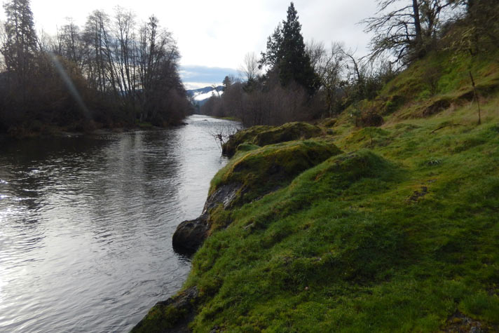
Nearly all of the riverside land along the Applegate is privately owned, with a few access points upstream of Ruch that are managed by the Rogue River-Siskyou National Forest or Jackson County. The river flows past homes and through ranches as it generally parallels Upper Applegate Road, Highway 238, and North Applegate Road.
Much of the Applegate River is relatively flat with short riffles and cobble bar rapids interspersed between the long, flat stretches. A few rapids are bigger than the others and a few bedrock gorges narrow the river and speed its currents. A triple-drop concrete structure spans the river upstream of Ruch; many boaters run this but others portage. Be alert for pipes, lines, and other infrastructure associated with ranching and water diversions.
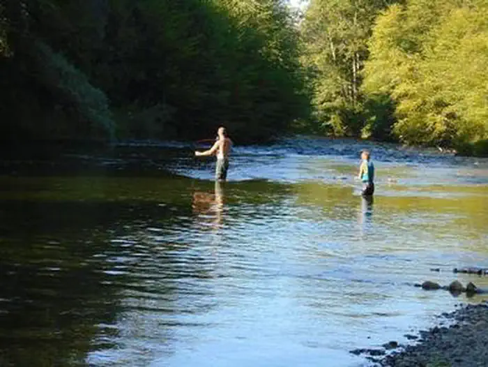
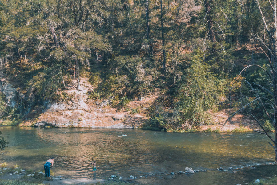
The Applegate River is mostly used in summer by tubers and swimmers, especially at McKee Bridge and Cantrall Buckley Park in Ruch and by the Highway 238 bridge in Applegate. A growing group of local boaters are using the river more and more, mostly in the spring. It offers quality whitewater that's easily accessible to Applegate and Rogue Valley residents.
For those that choose to paddle the Applegate all the way to the Rogue River, the take-out is located on the river right side of the Rogue River just downstream of its confluence with Applegate. There is a boat ramp here that is part of Whitehorse Park.
A proposal to add hydroelectric power generation to Applegate Dam, if built, may significantly alter the flow regime of the river below the dam. The proposal is pending as of January 2024.
Flow Info
NW River Forecast Center - Applegate River at Applegate
Rapids in this Run (3)
Difficulty
Class II+
Length
46.0 mi
Rapids
3
Access Points
Difficulty Classes
I Easy
II Novice
III Intermediate
IV Advanced
V Expert/Extreme
VI Unrunnable
Current Conditions
5-Day Forecast
Whitewater data from
American Whitewater
American Whitewater