B) Co.Rd.3/Airport Rd. to Glen Avon Falls (2.85 miles)
Linked via: Nhdplus discovery 90% confidence Synced 6mo ago
Gauge Conditions
Runnable: ? – ? CFS
Approximate reading: This gauge is 14.7 miles away on Beaver. Use as a general reference only.
Data from American Whitewater & USGS
Run Map
Run Time Estimate
Select put-in and take-out to estimate time.
Unlock Advanced Trip Planning
See wind-adjusted speed maps, forecast planning, and detailed time estimates.
Sign in to generate an AI timing estimate for this run.
Whitewater timing varies with scouting, portages, and group pace. Use as a planning baseline.
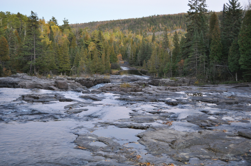
Description
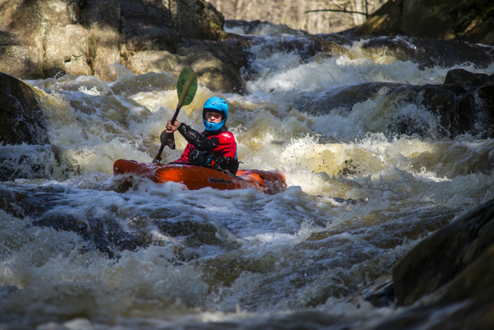
Most of this reach is a flatwater and easy-rapids paddle, with intermittent (nearly continuous) light-grade rapids. The major exception is Glen Avon Falls. Here, the bottom drops out, as the river encounters a steep sliding bedrock rapids/falls. At favorable levels, this could provide an interesting 'hair boater' park-and-pray (er, I mean play) spot! We're not talking rodeo boater territory here, but rather 'steep creek, big gradient'-folks funland. Not quite the stuff commercial videos are made from, and yet not far from it (for most boater's tastes). While you could continue your trip downstream, there is little of interest in the next two miles until the next listed section (after the confluence with the East Branch), so we prefer/advise carrying back up to your vehicle in the parking area for this falls.
Clikck this link to check out a video of _Glen Avon Falls, Low-water run_
Rapids in this Run (1)
Waterfalls (1)
Playspots (1)
Difficulty
Class II-III(V)
Length
2.7 mi
Gradient
42 ft/mi
max 90
Rapids
1
Access Points
Difficulty Classes
I Easy
II Novice
III Intermediate
IV Advanced
V Expert/Extreme
VI Unrunnable
Current Conditions
5-Day Forecast
Whitewater data from
American Whitewater
American Whitewater