B) Hwy.73 to Samuelson Park (3.75, 6.65, or up to 23 miles)
Linked via: Proximity 95% confidence Synced 6mo ago
Gauge Conditions
Runnable: 600.0 – 3,000.0 CFS
Likely too low. Likely under 100 cfs here. (Best flows uncertain. Add a comment or report.)
Data from American Whitewater & USGS
Run Map
Run Time Estimate
Select put-in and take-out to estimate time.
Unlock Advanced Trip Planning
See wind-adjusted speed maps, forecast planning, and detailed time estimates.
Sign in to generate an AI timing estimate for this run.
Whitewater timing varies with scouting, portages, and group pace. Use as a planning baseline.
Description
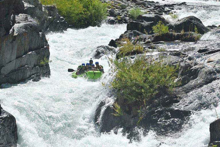
Hannine Falls is the most significant drop on this river. The MN DNR brochure describes it as _"a jagged, sloping 15-foot drop. Class VI. Though conceivably runnable at low water levels . . . is filled with big holes in high water . . . followed by 150 yards of class II rapids."_ (I suspect the "class VI" rating is highly inflated by current standards.)
Numerous class I-II rapids populate the next 20 miles to Samuelson Park, a county facility with picnic and camping facilites.
Various shorter runs may be made utilizing available road crossings. A run just concentrating on Hannine Falls (utilizing public road crossings) might be as short as 3.75 miles (1 mile flatwater access paddle, run or view/portage the falls, then 2.5 mile flatwater egress to the next road crossing). Or, extend your trip to about 6.65 miles to the next road crossing and pick up another stretch of rapids.
Downstream (for 100 miles to the confluence with Rainy River) is a fine canoe tripping reach with widely spread whitewater (four areas of I-II rapids). This also could be broken into much smaller segments.
Rapids in this Run (2)
Waterfalls (1)
Hazards & Portages (1)
Caution: The following locations may require scouting or portaging. Always check current conditions.
Difficulty
Class I-II(IV)
Length
23.6 mi
Rapids
2
1 Hazard
Access Points
Difficulty Classes
I Easy
II Novice
III Intermediate
IV Advanced
V Expert/Extreme
VI Unrunnable
Current Conditions
5-Day Forecast
Whitewater data from
American Whitewater
American Whitewater