B) MenWesTosa: Hartung Park to Hart Park (3.66 miles)
Linked via: Proximity 81% confidence Synced 6mo ago
Gauge Conditions
Runnable: ? – ? CFS
Approximate reading: This gauge is 3.2 miles away on Menomonee. Use as a general reference only.
Data from American Whitewater & USGS
Run Map
Run Time Estimate
Select put-in and take-out to estimate time.
Unlock Advanced Trip Planning
See wind-adjusted speed maps, forecast planning, and detailed time estimates.
Sign in to generate an AI timing estimate for this run.
Whitewater timing varies with scouting, portages, and group pace. Use as a planning baseline.
Description
Quick Facts:
Location: Wauwatosa (Milwaukee County)
Put-in: *3456 Menomonee River Parkway, Wauwatosa, WI*, Hartung Park
Take-out: *43.0487 -88.0072* (N.W.corner of Hart Park, near Tennis and Volleyball courts)
Shuttle Length: 3.8 miles/~10 minutes *Recommended Shuttle Route*
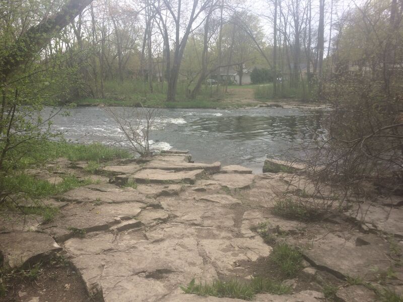
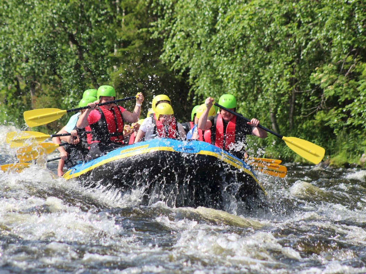
Character: Flatwater, swiftwater, and cobble/rock shoals in a semi-secluded-feeling parkway within mosly residential neighborhoods. Fairly wide-open channel with little maneuvering necessary (except to avoid grounding at lowest flows, or deadfall/snags at higher flows).
River banks: Generally gradual, with trees and shrubbery in urban river parkway.
Typical width: 50-75 ft.
General Overview
A fairly uniformly moderate-width stream provides relative seclusion even as it passes through residential and commercial areas of suburban-Milwaukee.
In the pattern of naming the other two sections of this river (MenFalls and MenTosa), I call this section 'MenWesTosa', standing for 'the Menomonee River in West Wauwatosa'.
(Yeah, it doesn't flow off the tongue quite like the other two sections, but so be it.)
Much of the run is flat but nicely flowing water, but there are numerous areas of rock/cobble shoals which the novice paddler will enjoy.
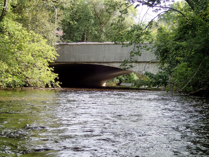
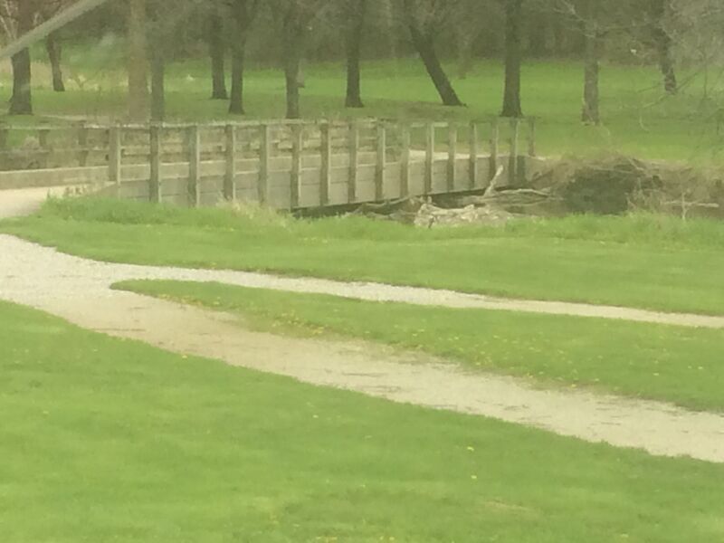
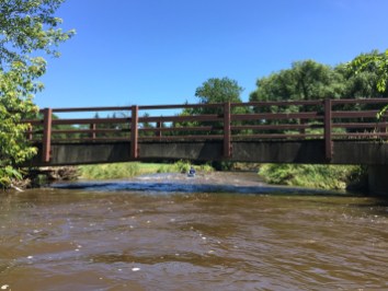
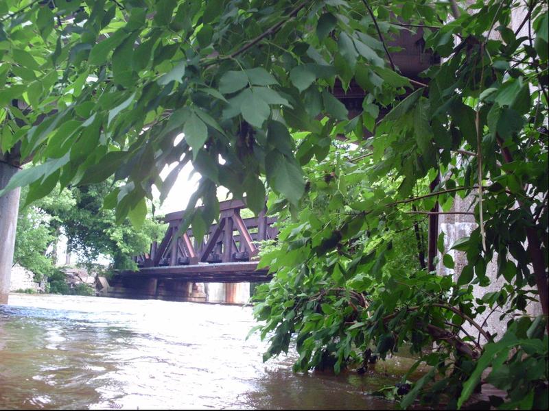
One potential hazard is low bridge in a golf course (about midway on the run). You can easily pass under it at low flows and duck/limbo under at moderate flows. It is a mandatory portage at moderately high flows, and you can easily boat over it at extremely high flows! (It has no railings to interfere with passage when water overflows it.)
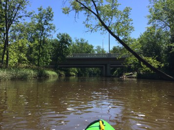
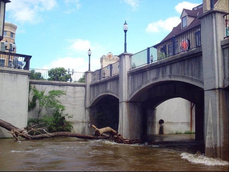
The other hazard is occasional accumulations of deadfall in some areas, most notably the tandem bridge piers of the pedestrian mall bridge in downtown 'Tosa (very nearly at the listed take-out). Especially at times of higher flows, we strongly recommend scouting these before putting on, to be aware whether you can safely get through this area. If deadfall blocks the pedestrian mall, it will be advisable to use a take-out somewhere upstream (either at Red Store Lot or elsewhere along the parkway).
If the river is running high, boaters need to be alert (looking well downstream, to recognize hazards well ahead of encountering them), and may need excellent boat-handling skills to get ashore to portage such hazards.
Also, please be aware that this is a VERY FLASHY URBAN RIVER! Water levels can rise DRAMATICALLY with rains, easily going from too low, to too high, and back to reasonable flow within the span of just a few hours!
If you are on the river when it starts raining hard (or just after it has been raining hard), flows will change before you can finish your trip!
At low-to-moderate flows, paddlers may extend their trip by continuing with part or all of the next section (the 'MenTosa' run). Be aware, however, that at high flows, much of that section is vastly more challenging than this (MenWesTosa) section is at any flow!
Rapids in this Run (21)
Rapid
Butler Frontier Park
Rapid
Bridge: 124th Street (60.64 sq.mi.)
 Rapid
Rapid
Bridge: Interstate 41/Hwy.45
Rapid
Bridge: Hampton Avenue
Rapid
Island
Rapid
Webster Park
Rapid
Menomonee River Parkway at W.Congress St.
Rapid
Bridge: Capitol Drive
Rapid
Bridge: Hwy.100 / Mayfair Road
 Rapid
Rapid
Bridge: Burleigh Street
Rapid
Mt.Mary Shoals
 Rapid
Rapid
Bridge: North Ave.
Rapid
Confluence: Underwood Creek
Rapid
Swan Boulevard
Rapid
II
Box Culvert / Transect
Rapid
Hoyt Park *** Alternate Put-in or Take-out ***
Rapid
Hoyt Park Suspension Bridge
Rapid
II
Rubble Rips
Rapid
I
Second rubble rips
Rapid
I
Wave Train (and Train Wave?)
Rapid
Bridge: Harmonee Avenue
Playspots (1)
Hazards & Portages (8)
Caution: The following locations may require scouting or portaging. Always check current conditions.

Difficulty
Class I-II
Length
3.5 mi
Gradient
10 ft/mi
Rapids
21
8 Hazards
Access Points
Shuttle Info
Various shorter trips are certainly possible, using various points of access.
Difficulty Classes
I Easy
II Novice
III Intermediate
IV Advanced
V Expert/Extreme
VI Unrunnable
Current Conditions
5-Day Forecast
Whitewater data from
American Whitewater
American Whitewater