B) Nylund Road to Saxon Falls Dam (17.9 miles)
Linked via: Nhdplus gnis 95% confidence Synced 6mo ago
Gauge Conditions
Runnable: ? – ? CFS
Approximate reading: This gauge is 24.1 miles away on Montreal. Use as a general reference only.
Data from American Whitewater & USGS
Run Map
Run Time Estimate
Select put-in and take-out to estimate time.
Unlock Advanced Trip Planning
See wind-adjusted speed maps, forecast planning, and detailed time estimates.
Sign in to generate an AI timing estimate for this run.
Whitewater timing varies with scouting, portages, and group pace. Use as a planning baseline.
Description
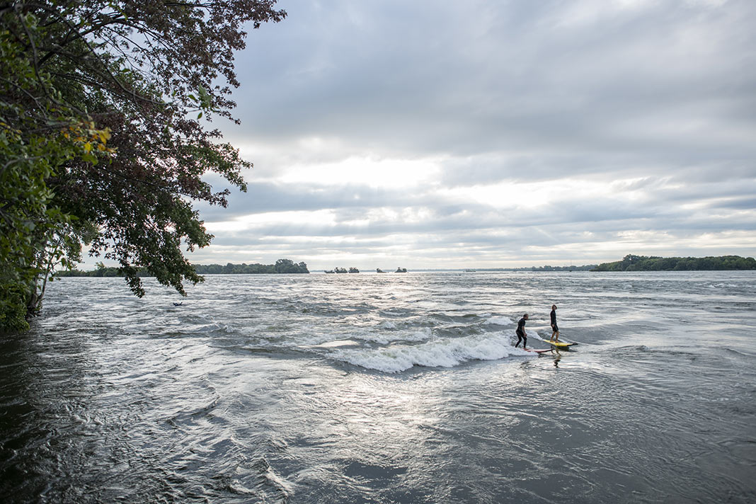
A much less paddled section due to the lack of significant rapids and its being a quite long reach. This stretch of river is much less spectacular than the lower 'canyon' section, and contains no large falls like the upper section.
A shorter trip is possible (and advised for low-water runs) using the West Fork take-out on Hwy.2 as the put-in. Our put-in at Nylund Road (A.K.A. Town Road 0028, and formerly labeled here as Erickson Road, though I can find no online reference to anything by that name) is mostly for continuity with the upper section. Virtually throughout this reach, you'll find low-grade, read-and-run rapids, interspersing flat/flowing water.
Difficulty
Class I-II
Length
16.8 mi
Gradient
12 ft/mi
max 31
Rapids
10
Access Points
Difficulty Classes
I Easy
II Novice
III Intermediate
IV Advanced
V Expert/Extreme
VI Unrunnable
Current Conditions
5-Day Forecast
Whitewater data from
American Whitewater
American Whitewater