B) Old Hwy.61/MN89 to Hwy.61 (8 miles)
Linked via: Proximity 98% confidence Synced 6mo ago
Gauge Conditions
Runnable: 1,000.0 – 1,500.0 CFS
Uncertain of best flows for this reach. This range (1000-1500) is mostly to indicate LIKELY boatable flows on OTHER North Shore runs.
Data from American Whitewater & USGS
Run Map
Run Time Estimate
Select put-in and take-out to estimate time.
Unlock Advanced Trip Planning
See wind-adjusted speed maps, forecast planning, and detailed time estimates.
Sign in to generate an AI timing estimate for this run.
Whitewater timing varies with scouting, portages, and group pace. Use as a planning baseline.
Description
This river is the US/Canadian border. The put-in is on tribal land (of the Grand Portage band Ojibway) and may be disputed. (Recommend putting in 150 yards downstream of former bridge, to reduce possible conflicts with property owner.) Portage (for all mortal boaters) at Pigeon Falls. Take out is near customs station.
Jason Stingl provides (2005-07-01):
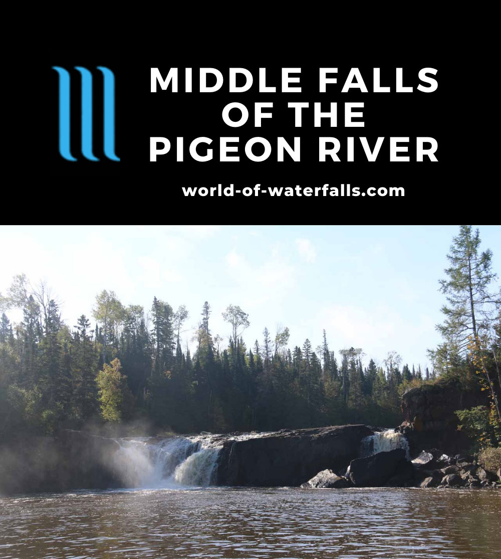
_There is a waterfall on the Pigeon that is accessable from the Canadian side. I think it is called Middle Falls. It is about 15 feet or so and kind of a horse shoe shaped drop. There is a hole upstream of the drop about 200 yards that might be fun in a playboat if you weren't too worried about the drop below (there is a rock-bar downsteam of the hole so it would be pretty safe). Not sure what level it comes in at. I think I ran it around 1500 cfs. Probably a class IV._
Rapids in this Run (2)
Waterfalls (1)
Hazards & Portages (1)
Caution: The following locations may require scouting or portaging. Always check current conditions.
Difficulty
Class II-III+(V)
Length
8.3 mi
Gradient
42 ft/mi
Rapids
2
1 Portage
Access Points
Difficulty Classes
I Easy
II Novice
III Intermediate
IV Advanced
V Expert/Extreme
VI Unrunnable
Current Conditions
5-Day Forecast
Whitewater data from
American Whitewater
American Whitewater